906 David Ct Woodstock, GA 30188
Union Hill NeighborhoodEstimated Value: $392,000 - $397,815
4
Beds
2
Baths
2,192
Sq Ft
$180/Sq Ft
Est. Value
About This Home
This home is located at 906 David Ct, Woodstock, GA 30188 and is currently estimated at $394,908, approximately $180 per square foot. 906 David Ct is a home located in Cherokee County with nearby schools including Mountain Road Elementary School, Rusk Middle School, and Sequoyah High School.
Ownership History
Date
Name
Owned For
Owner Type
Purchase Details
Closed on
Jul 30, 1998
Sold by
Dempsey Debra
Bought by
Mcadams Sandra R and Mcadams Gregory D
Current Estimated Value
Home Financials for this Owner
Home Financials are based on the most recent Mortgage that was taken out on this home.
Original Mortgage
$99,750
Outstanding Balance
$19,730
Interest Rate
6.92%
Mortgage Type
New Conventional
Estimated Equity
$375,178
Create a Home Valuation Report for This Property
The Home Valuation Report is an in-depth analysis detailing your home's value as well as a comparison with similar homes in the area
Home Values in the Area
Average Home Value in this Area
Purchase History
| Date | Buyer | Sale Price | Title Company |
|---|---|---|---|
| Mcadams Sandra R | $105,000 | -- |
Source: Public Records
Mortgage History
| Date | Status | Borrower | Loan Amount |
|---|---|---|---|
| Open | Mcadams Sandra R | $99,750 |
Source: Public Records
Tax History Compared to Growth
Tax History
| Year | Tax Paid | Tax Assessment Tax Assessment Total Assessment is a certain percentage of the fair market value that is determined by local assessors to be the total taxable value of land and additions on the property. | Land | Improvement |
|---|---|---|---|---|
| 2025 | $2,975 | $128,904 | $24,400 | $104,504 |
| 2024 | $3,018 | $131,904 | $24,400 | $107,504 |
| 2023 | $2,761 | $118,144 | $24,400 | $93,744 |
| 2022 | $2,641 | $112,544 | $22,400 | $90,144 |
| 2021 | $2,251 | $86,144 | $20,000 | $66,144 |
| 2020 | $1,958 | $73,464 | $14,800 | $58,664 |
| 2019 | $1,922 | $71,920 | $14,400 | $57,520 |
| 2018 | $1,752 | $64,200 | $14,400 | $49,800 |
| 2017 | $1,637 | $147,700 | $12,800 | $46,280 |
| 2016 | $1,612 | $144,200 | $12,800 | $44,880 |
| 2015 | $1,505 | $133,700 | $11,200 | $42,280 |
| 2014 | $1,459 | $129,600 | $11,200 | $40,640 |
Source: Public Records
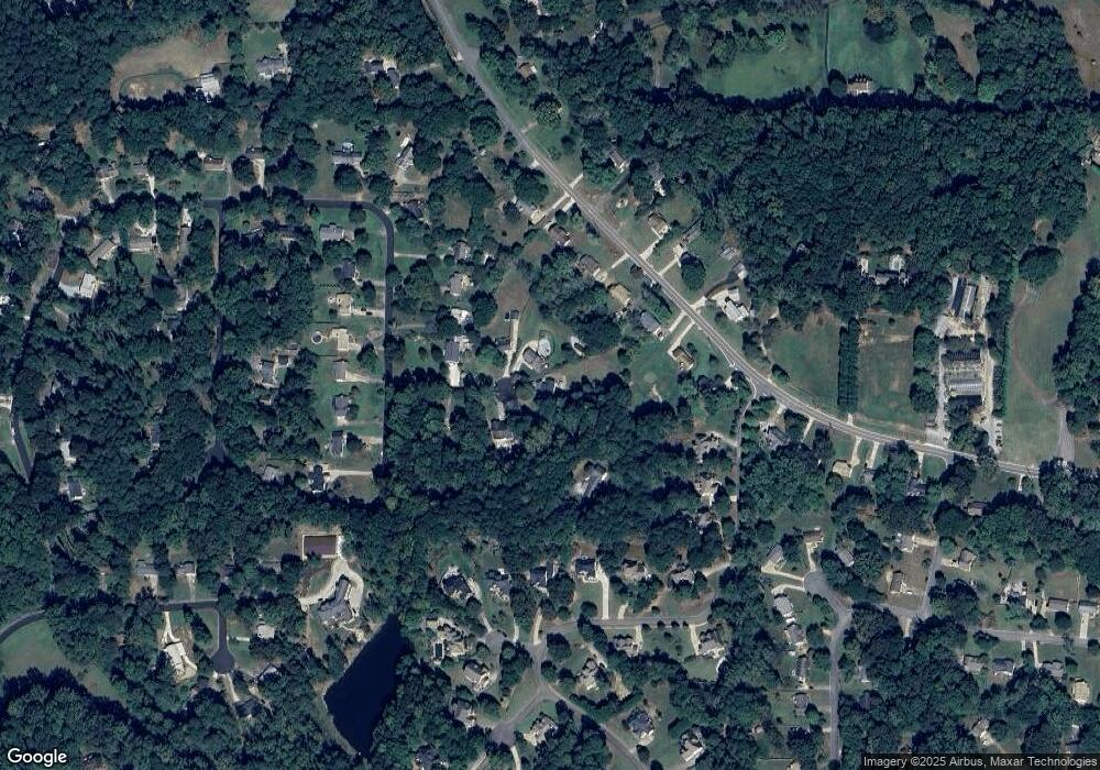
Map
Nearby Homes
- 4297 Earney Rd
- 214 Kingsley Way
- 210 Cherokee Springs Way
- 136 Plantation Trace
- Payton Plan at Holly Farm - Highlands
- Monteluce Plan at Holly Farm - Highlands
- Antioch Plan at Holly Farm - Highlands
- Roswell Plan at Holly Farm - Highlands
- Hedgerow Plan at Holly Farm - Highlands
- Hendricks Plan at Holly Farm - Highlands
- 1188 Ridgeview Rd
- 1039 Ridgeview Rd
- 1168 Ridgeview Rd
- 1043 Ridgeview Rd
- 00 Hickory Flat Hwy
- 7052 Foundry Dr
- 4002 Tallow Place
- 3116 Batesville Rd
- 3116 Mh Batesville Rd
- 1411 Silver Fox Run
- 905 David Ct
- 902 David Ct
- 903 David Ct
- 904 David Ct
- 900 David Ct
- 4275 Earney Rd
- 4273 Earney Rd
- 901 David Ct
- 4277 Earney Rd
- 741 Osco Pkwy
- 202 Falling Water Way
- 4271 Earney Rd
- 4279 Earney Rd
- 739 Osco Pkwy
- 204 Falling Water Way
- 4400 Earney Rd
- 4269 Earney Rd
- 0 Osco Pkwy Unit 7003159
- 0 Osco Pkwy Unit 8441849
- 0 Osco Pkwy Unit 8166356