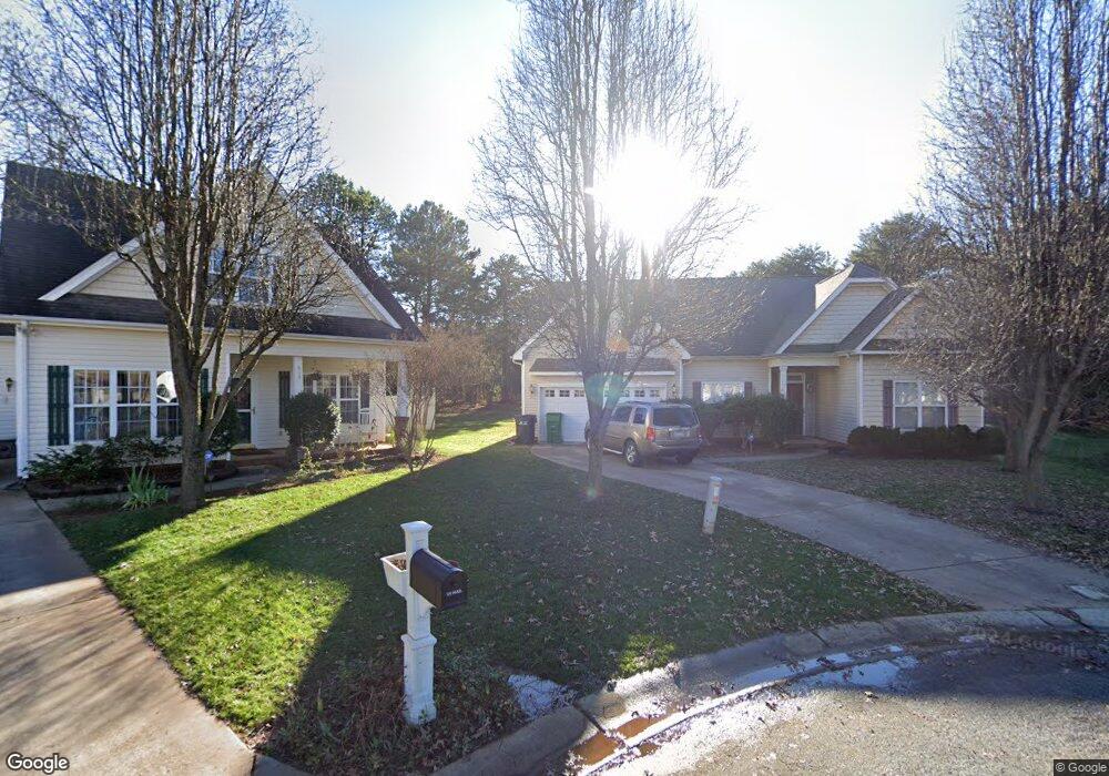
906 Doris Ray Ct Charlotte, NC 28216
Firestone-Garden Park NeighborhoodEstimated Value: $321,000 - $333,000
3
Beds
2
Baths
1,757
Sq Ft
$186/Sq Ft
Est. Value
About This Home
This home is located at 906 Doris Ray Ct, Charlotte, NC 28216 and is currently estimated at $326,654, approximately $185 per square foot. 906 Doris Ray Ct is a home located in Mecklenburg County with nearby schools including Oakdale Elementary School, Ranson Middle School, and West Charlotte High School.
Ownership History
Date
Name
Owned For
Owner Type
Purchase Details
Closed on
Jul 19, 2002
Sold by
Brookwood Home Builders Inc
Bought by
Thomas Sandra S
Current Estimated Value
Home Financials for this Owner
Home Financials are based on the most recent Mortgage that was taken out on this home.
Original Mortgage
$149,306
Outstanding Balance
$63,114
Interest Rate
6.67%
Mortgage Type
FHA
Estimated Equity
$263,540
Purchase Details
Closed on
Feb 6, 2002
Sold by
Landmark Development Llc
Bought by
Brookwood Home Builders Inc
Create a Home Valuation Report for This Property
The Home Valuation Report is an in-depth analysis detailing your home's value as well as a comparison with similar homes in the area
Home Values in the Area
Average Home Value in this Area
Purchase History
| Date | Buyer | Sale Price | Title Company |
|---|---|---|---|
| Thomas Sandra S | $152,000 | -- | |
| Brookwood Home Builders Inc | $65,500 | -- |
Source: Public Records
Mortgage History
| Date | Status | Borrower | Loan Amount |
|---|---|---|---|
| Open | Thomas Sandra S | $149,306 |
Source: Public Records
Tax History Compared to Growth
Tax History
| Year | Tax Paid | Tax Assessment Tax Assessment Total Assessment is a certain percentage of the fair market value that is determined by local assessors to be the total taxable value of land and additions on the property. | Land | Improvement |
|---|---|---|---|---|
| 2025 | $2,343 | $289,200 | $44,000 | $245,200 |
| 2024 | $2,343 | $289,200 | $44,000 | $245,200 |
| 2023 | $2,260 | $289,200 | $44,000 | $245,200 |
| 2022 | $1,493 | $141,700 | $14,400 | $127,300 |
| 2021 | $1,482 | $141,700 | $14,400 | $127,300 |
| 2020 | $1,475 | $141,700 | $14,400 | $127,300 |
| 2019 | $1,459 | $141,700 | $14,400 | $127,300 |
| 2018 | $1,475 | $106,800 | $16,000 | $90,800 |
| 2017 | $1,445 | $106,800 | $16,000 | $90,800 |
| 2016 | $1,436 | $106,800 | $16,000 | $90,800 |
| 2015 | $1,424 | $106,800 | $16,000 | $90,800 |
| 2014 | $1,434 | $106,800 | $16,000 | $90,800 |
Source: Public Records
Map
Nearby Homes
- 604 Touch Me Not Ln
- 600 Touch Me Not Ln
- 346 Cornielle Ln
- 1318 Grass Meadows Ct
- 1104 Rook Rd
- 705 Wild Oak Ct
- 5612 Ringneck Rd
- 5204 Grass Ridge Dr
- 6021 Jasmine Branch Rd
- 6009 Jasmine Branch Rd
- 6013 Jasmine Branch Rd
- 6024 Jasmine Branch Rd
- 6025 Jasmine Branch Rd
- 6033 Jasmine Branch Rd
- 6029 Jasmine Branch Rd
- 5620 Ringneck Rd
- 6005 Jasmine Branch Rd
- The Rutledge Plan at Hickory Glen
- The Suwanee Plan at Hickory Glen
- 820 Dale Ave
- 910 Doris Ray Ct
- 905 Doris Ray Ct
- 1209 Pearl Crescent Dr
- 206 Mccord St
- 911 Doris Ray Ct
- 214 Mccord St
- 917 Doris Ray Ct
- 1202 Pearl Crescent Dr
- 220 Mccord St
- 923 Doris Ray Ct
- 1206 Pearl Crescent Dr
- 1210 Pearl Crescent Dr
- 1218 Pearl Crescent Dr
- 211 Mccord St
- 205 Mccord St
- 1224 Pearl Crescent Dr
- 163 Mccord St
- 128 Mccord St
- 1304 Pearl Crescent Dr
- 818 Oakdale Rd