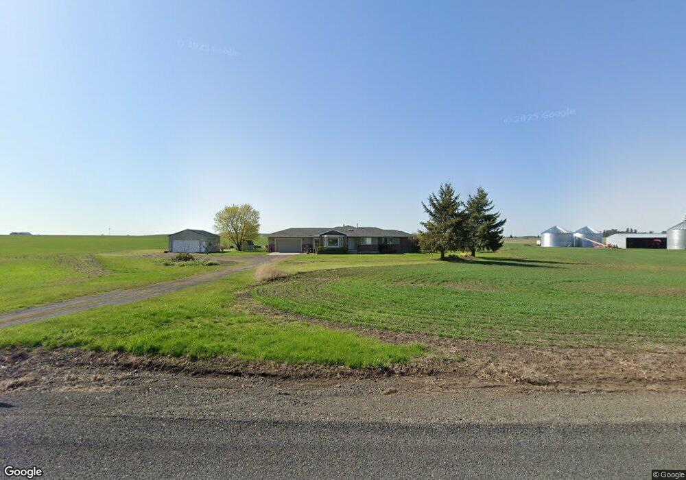
906 E Watt Rd Spangle, WA 99031
Estimated Value: $649,459
3
Beds
2
Baths
2,340
Sq Ft
$278/Sq Ft
Est. Value
About This Home
This home is located at 906 E Watt Rd, Spangle, WA 99031 and is currently priced at $649,459, approximately $277 per square foot. 906 E Watt Rd is a home located in Spokane County with nearby schools including Liberty Elementary/Junior High School, Liberty High School, and Upper Columbia Academy - Elementary School.
Ownership History
Date
Name
Owned For
Owner Type
Purchase Details
Closed on
Dec 24, 2021
Sold by
Konshuk Craig D and Johnson Ginger K
Bought by
Konshuk Brad D and Konshuk Lori L
Current Estimated Value
Purchase Details
Closed on
Jan 19, 2021
Sold by
Johnson Ginger K and Johnson John W
Bought by
Konshuk Evan D and Konshuk Kimberly A
Purchase Details
Closed on
Dec 3, 2012
Sold by
Konshuk Harry G and Konshuk Sylvia A
Bought by
Konshuk Craig D and Konshuk Ginger K
Purchase Details
Closed on
Sep 21, 2012
Sold by
Konshuk Harry G and Konshuk Sylvia A
Bought by
Konshuk Craig D and Konshuk Leslie G
Create a Home Valuation Report for This Property
The Home Valuation Report is an in-depth analysis detailing your home's value as well as a comparison with similar homes in the area
Home Values in the Area
Average Home Value in this Area
Purchase History
| Date | Buyer | Sale Price | Title Company |
|---|---|---|---|
| Konshuk Brad D | $10,513 | None Available | |
| Konshuk Evan D | $550,561 | None Available | |
| Konshuk Craig D | -- | None Available | |
| Konshuk Craig D | -- | None Available |
Source: Public Records
Tax History Compared to Growth
Tax History
| Year | Tax Paid | Tax Assessment Tax Assessment Total Assessment is a certain percentage of the fair market value that is determined by local assessors to be the total taxable value of land and additions on the property. | Land | Improvement |
|---|---|---|---|---|
| 2022 | $3,344 | $779,390 | $495,590 | $283,800 |
| 2021 | $3,177 | $694,020 | $450,620 | $243,400 |
| 2020 | $3,026 | $656,890 | $441,790 | $215,100 |
| 2019 | $2,737 | $627,270 | $431,970 | $195,300 |
| 2018 | $3,163 | $583,800 | $392,700 | $191,100 |
| 2017 | $2,986 | $552,970 | $373,070 | $179,900 |
| 2016 | $2,728 | $441,160 | $260,160 | $181,000 |
| 2015 | $2,858 | $436,260 | $255,260 | $181,000 |
| 2014 | -- | $437,760 | $255,260 | $182,500 |
| 2013 | -- | $0 | $0 | $0 |
Source: Public Records
Map
Nearby Homes
- 1112 E Jennings Rd
- 21608 S Mill Rd
- Lot 2 Nka Cheney Spangle Rd Unit Parcel 32085.9041
- 20xxx S Parker Rd
- 102 E Cameron Rd
- 2207 W Depot Springs Rd
- 22711 S Gateway Ln
- XXXX S Gateway Ln
- 25207 S Rupp Rd
- 177XX S Smythe Rd
- 18616 S Smythe Rd
- 20112 S Short Rd
- 18711 S Aspen Meadows Dr
- 17621 S Lois Dr
- 17305 S Blasted Ln
- 16621 S Sherman Rd
- 27711 S Cheney Spangle Rd
- 16771 S Sherman Rd
- 4408 E Spangle Creek Rd
- 17522 S Lois Dr