Estimated Value: $106,000 - $170,000
3
Beds
1
Bath
1,200
Sq Ft
$122/Sq Ft
Est. Value
About This Home
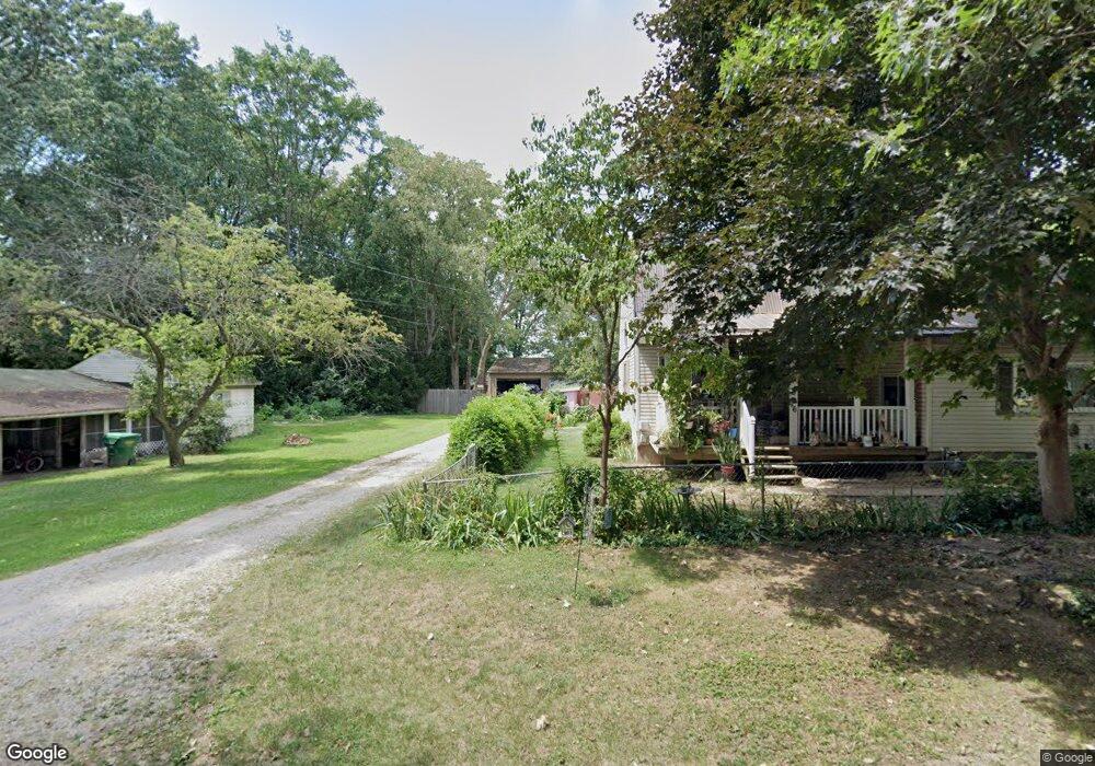
This home is located at 906 George St, Niles, MI 49120 and is currently estimated at $146,158, approximately $121 per square foot. 906 George St is a home located in Berrien County with nearby schools including James Ellis School, Howard-Ellis Elementary School, and Oak Manor Sixth Grade Center.
Ownership History
Date
Name
Owned For
Owner Type
Purchase Details
Closed on
Jul 10, 2013
Sold by
Estate Of Barbara Ann Makepeace
Bought by
Pierce Michael Ray
Current Estimated Value
Purchase Details
Closed on
Aug 29, 2007
Sold by
Estate Of Laverne Harold Makepeace
Bought by
Makepeace Barbara Ann
Home Financials for this Owner
Home Financials are based on the most recent Mortgage that was taken out on this home.
Original Mortgage
$2,642
Outstanding Balance
$1,709
Interest Rate
7%
Mortgage Type
New Conventional
Estimated Equity
$144,449
Purchase Details
Closed on
Dec 1, 1989
Purchase Details
Closed on
May 31, 1988
Create a Home Valuation Report for This Property
The Home Valuation Report is an in-depth analysis detailing your home's value as well as a comparison with similar homes in the area
Home Values in the Area
Average Home Value in this Area
Purchase History
| Date | Buyer | Sale Price | Title Company |
|---|---|---|---|
| Pierce Michael Ray | -- | None Available | |
| Makepeace Barbara Ann | -- | None Available | |
| -- | $100 | -- | |
| -- | $100 | -- |
Source: Public Records
Mortgage History
| Date | Status | Borrower | Loan Amount |
|---|---|---|---|
| Open | Makepeace Barbara Ann | $2,642 |
Source: Public Records
Tax History Compared to Growth
Tax History
| Year | Tax Paid | Tax Assessment Tax Assessment Total Assessment is a certain percentage of the fair market value that is determined by local assessors to be the total taxable value of land and additions on the property. | Land | Improvement |
|---|---|---|---|---|
| 2025 | $1,659 | $53,800 | $0 | $0 |
| 2024 | $444 | $58,600 | $0 | $0 |
| 2023 | $423 | $51,400 | $0 | $0 |
| 2022 | $403 | $47,200 | $0 | $0 |
| 2021 | $1,425 | $43,500 | $6,000 | $37,500 |
| 2020 | $1,397 | $40,800 | $0 | $0 |
| 2019 | $1,330 | $36,500 | $6,000 | $30,500 |
| 2018 | $1,270 | $36,500 | $0 | $0 |
| 2017 | $1,262 | $34,500 | $0 | $0 |
| 2016 | $1,074 | $33,300 | $0 | $0 |
| 2015 | $1,498 | $33,800 | $0 | $0 |
| 2014 | $351 | $32,600 | $0 | $0 |
Source: Public Records
Map
Nearby Homes
- 1638 Superior St
- 1526 Inner Dr
- V/L Kathryn St Unit Tract 3
- 0 Kathryn St Unit Tract 1
- 1408 Silverbrook Ave
- 1522 Cherry St
- 1352 Marion St
- 1639 Oak St
- 21 S 15th St
- 1723 Broadway St
- 1407 Hickory St
- 81 E Wildflower
- 1710 Cedar St
- 1642 Cedar St
- 2330 E Main St Unit Lot 2
- 2330 E Main St Unit 62
- 1648 Oak St
- 892 Sullivan Rd
- VL Huron St
- 340 Carefree Ct