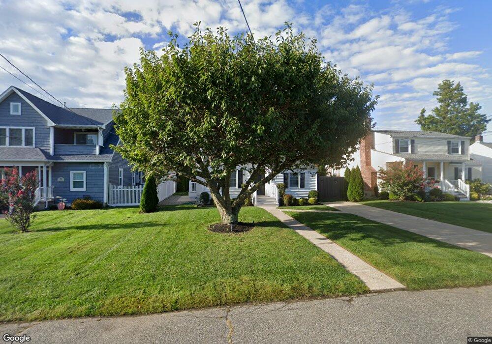
906 Keith Ave Spring Lake, NJ 07762
Estimated Value: $691,000 - $884,000
2
Beds
1
Bath
1,032
Sq Ft
$786/Sq Ft
Est. Value
About This Home
This home is located at 906 Keith Ave, Spring Lake, NJ 07762 and is currently estimated at $810,911, approximately $785 per square foot. 906 Keith Ave is a home located in Monmouth County with nearby schools including Spring Lake Heights Elementary School and The Brookside School.
Ownership History
Date
Name
Owned For
Owner Type
Purchase Details
Closed on
Jul 13, 2020
Sold by
Matthews Maureen A and Estate Of Lillian M Beattie
Bought by
Moran Timothy and Moran Erin
Current Estimated Value
Home Financials for this Owner
Home Financials are based on the most recent Mortgage that was taken out on this home.
Original Mortgage
$256,000
Outstanding Balance
$227,004
Interest Rate
3.1%
Mortgage Type
New Conventional
Estimated Equity
$583,907
Purchase Details
Closed on
Mar 30, 1983
Bought by
Beattie Mathew J and Beattie Lillian M
Create a Home Valuation Report for This Property
The Home Valuation Report is an in-depth analysis detailing your home's value as well as a comparison with similar homes in the area
Home Values in the Area
Average Home Value in this Area
Purchase History
| Date | Buyer | Sale Price | Title Company |
|---|---|---|---|
| Moran Timothy | $399,400 | R W Schrader Title Agcy Llc | |
| Beattie Mathew J | $62,000 | -- |
Source: Public Records
Mortgage History
| Date | Status | Borrower | Loan Amount |
|---|---|---|---|
| Open | Moran Timothy | $256,000 |
Source: Public Records
Tax History
| Year | Tax Paid | Tax Assessment Tax Assessment Total Assessment is a certain percentage of the fair market value that is determined by local assessors to be the total taxable value of land and additions on the property. | Land | Improvement |
|---|---|---|---|---|
| 2025 | $6,935 | $705,500 | $540,800 | $164,700 |
| 2024 | $6,179 | $658,600 | $480,500 | $178,100 |
| 2023 | $6,179 | $551,700 | $400,000 | $151,700 |
| 2022 | $5,134 | $451,700 | $310,000 | $141,700 |
| 2021 | $5,134 | $398,800 | $270,000 | $128,800 |
| 2020 | $5,254 | $386,900 | $270,000 | $116,900 |
| 2019 | $5,263 | $383,600 | $270,000 | $113,600 |
| 2018 | $5,289 | $375,100 | $270,000 | $105,100 |
| 2017 | $5,082 | $373,700 | $270,000 | $103,700 |
| 2016 | $5,128 | $372,400 | $270,000 | $102,400 |
| 2015 | $4,827 | $369,800 | $270,000 | $99,800 |
| 2014 | $4,707 | $369,100 | $270,000 | $99,100 |
Source: Public Records
Map
Nearby Homes
- 2419 Kipling Ave
- 809 Wall Rd
- 905 Woodcrest Dr
- 815 Woodcrest Dr
- 23 Locust Way
- 1838 State Route 35 Unit 10
- 16 Cherry Ct
- 27 Apple Dr
- 420 Ludlow Ave
- 1731 Grove St
- 2005 Nassau Dr
- 1726 M St
- 1210 Xanadu Ln Unit A1210
- 1813 World St
- 513 Mercer Ave
- 604 Monmouth Ave
- 217 Pitney Ave
- 207 Tuttle Ave
- 2208 2nd Ave
- 1805 Margerum Ave
Your Personal Tour Guide
Ask me questions while you tour the home.