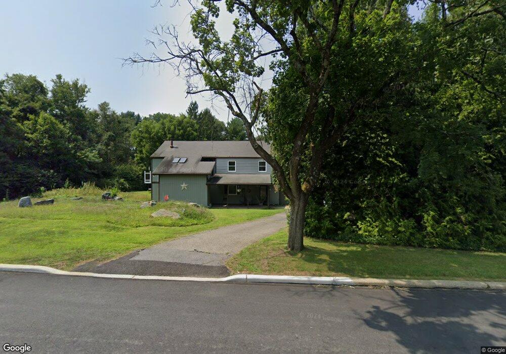
906 Maple Dr Stewartsville, NJ 08886
Estimated Value: $466,000 - $514,481
4
Beds
3
Baths
2,616
Sq Ft
$185/Sq Ft
Est. Value
About This Home
This home is located at 906 Maple Dr, Stewartsville, NJ 08886 and is currently estimated at $484,620, approximately $185 per square foot. 906 Maple Dr is a home located in Warren County with nearby schools including Greenwich Elementary School and Stewartsville Middle School.
Ownership History
Date
Name
Owned For
Owner Type
Purchase Details
Closed on
Jul 22, 2020
Sold by
Muentener John J and Muentener Lisa A
Bought by
Muentener Lisa A
Current Estimated Value
Purchase Details
Closed on
Aug 21, 2009
Sold by
Mellone Michael
Bought by
Muentner John J and Muentner Lisa A
Home Financials for this Owner
Home Financials are based on the most recent Mortgage that was taken out on this home.
Original Mortgage
$261,182
Interest Rate
5.21%
Mortgage Type
FHA
Create a Home Valuation Report for This Property
The Home Valuation Report is an in-depth analysis detailing your home's value as well as a comparison with similar homes in the area
Home Values in the Area
Average Home Value in this Area
Purchase History
| Date | Buyer | Sale Price | Title Company |
|---|---|---|---|
| Muentener Lisa A | -- | None Available | |
| Muentner John J | $266,000 | First American Title Ins Co |
Source: Public Records
Mortgage History
| Date | Status | Borrower | Loan Amount |
|---|---|---|---|
| Previous Owner | Muentner John J | $261,182 |
Source: Public Records
Tax History Compared to Growth
Tax History
| Year | Tax Paid | Tax Assessment Tax Assessment Total Assessment is a certain percentage of the fair market value that is determined by local assessors to be the total taxable value of land and additions on the property. | Land | Improvement |
|---|---|---|---|---|
| 2025 | $9,215 | $231,300 | $58,300 | $173,000 |
| 2024 | $8,329 | $231,300 | $58,300 | $173,000 |
| 2023 | $8,035 | $231,300 | $58,300 | $173,000 |
| 2022 | $8,035 | $231,300 | $58,300 | $173,000 |
| 2021 | $7,850 | $231,300 | $58,300 | $173,000 |
| 2020 | $7,707 | $231,300 | $58,300 | $173,000 |
| 2019 | $7,489 | $231,300 | $58,300 | $173,000 |
| 2018 | $7,439 | $231,300 | $58,300 | $173,000 |
| 2017 | $7,439 | $231,300 | $58,300 | $173,000 |
| 2016 | $7,346 | $231,300 | $58,300 | $173,000 |
| 2015 | $7,210 | $231,300 | $58,300 | $173,000 |
| 2014 | $7,323 | $231,300 | $58,300 | $173,000 |
Source: Public Records
Map
Nearby Homes
- 705 Warren Glen Rd
- 402 Parker Rd
- 400 Bradford Ln
- 101 Parker Rd
- 1 Woodland Terrace
- 333 Greens Ridge Rd
- 63 Main St
- 125 Brunswick Ave
- 2141 New Village Rd
- 95 Schaaf Rd
- 104 Fox Run Rd
- 668 S Main St Unit 1
- 14 Tulip Ln
- 50 Route 639
- 268 County Road 579
- 1508 West Ave
- 80-84 County Road 519
- 503 Dori Place
- 80 Route 519
- 358 Bloomsbury Rd
- 908 Maple Dr
- 904 Maple Dr
- 911 Maple Dr
- 913 Maple Dr
- 109 Robert Place
- 116 Kennedy Mill Rd
- 909 Maple Dr
- 915 Maple Dr
- 907 Maple Dr
- 107 Robert Place
- 114 Kennedy Mill Rd
- 917 Maple Dr
- 905 Maple Dr
- 902 Maple Dr
- 910 Maple Dr
- 903 Maple Dr
- 105 Robert Place
- 121 Kennedy Mill Rd
- 701 Warren Glen Rd
- 112 Robert Place