Estimated Value: $1,165,000 - $1,541,000
4
Beds
4
Baths
5,043
Sq Ft
$267/Sq Ft
Est. Value
About This Home
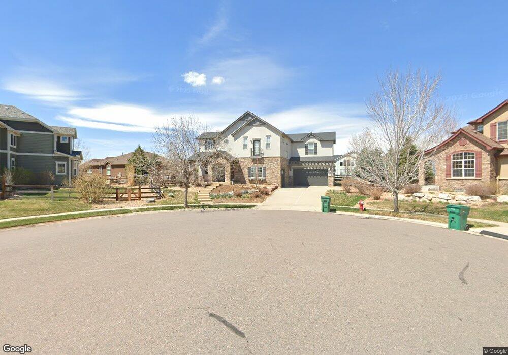
This home is located at 906 Reese Ct, Erie, CO 80516 and is currently estimated at $1,348,845, approximately $267 per square foot. 906 Reese Ct is a home located in Boulder County with nearby schools including Red Hawk Elementary School, Erie Middle School, and Erie High School.
Ownership History
Date
Name
Owned For
Owner Type
Purchase Details
Closed on
Apr 30, 2015
Sold by
Nehls John W
Bought by
Lasnik Kendra
Current Estimated Value
Home Financials for this Owner
Home Financials are based on the most recent Mortgage that was taken out on this home.
Original Mortgage
$565,000
Outstanding Balance
$437,768
Interest Rate
3.84%
Mortgage Type
New Conventional
Estimated Equity
$911,077
Purchase Details
Closed on
Oct 23, 2008
Sold by
Nehls Heather E
Bought by
Nehls John W
Purchase Details
Closed on
Aug 17, 2006
Sold by
Cottonwood Vista By Remington Homes Inc
Bought by
Nehls John W and Nehls Heather E
Home Financials for this Owner
Home Financials are based on the most recent Mortgage that was taken out on this home.
Original Mortgage
$417,000
Interest Rate
6.79%
Mortgage Type
Purchase Money Mortgage
Create a Home Valuation Report for This Property
The Home Valuation Report is an in-depth analysis detailing your home's value as well as a comparison with similar homes in the area
Home Values in the Area
Average Home Value in this Area
Purchase History
| Date | Buyer | Sale Price | Title Company |
|---|---|---|---|
| Lasnik Kendra | $785,000 | Land Title Guarantee Company | |
| Nehls John W | -- | None Available | |
| Nehls John W | $730,895 | Security Title |
Source: Public Records
Mortgage History
| Date | Status | Borrower | Loan Amount |
|---|---|---|---|
| Open | Lasnik Kendra | $565,000 | |
| Previous Owner | Nehls John W | $417,000 |
Source: Public Records
Tax History Compared to Growth
Tax History
| Year | Tax Paid | Tax Assessment Tax Assessment Total Assessment is a certain percentage of the fair market value that is determined by local assessors to be the total taxable value of land and additions on the property. | Land | Improvement |
|---|---|---|---|---|
| 2025 | $10,477 | $82,238 | $19,469 | $62,769 |
| 2024 | $10,477 | $82,238 | $19,469 | $62,769 |
| 2023 | $10,359 | $91,475 | $26,418 | $68,742 |
| 2022 | $7,441 | $62,863 | $17,924 | $44,939 |
| 2021 | $7,572 | $64,672 | $18,440 | $46,232 |
| 2020 | $6,851 | $58,645 | $12,799 | $45,846 |
| 2019 | $6,833 | $58,645 | $12,799 | $45,846 |
| 2018 | $5,991 | $51,322 | $15,768 | $35,554 |
| 2017 | $5,718 | $56,738 | $17,432 | $39,306 |
| 2016 | $5,527 | $48,428 | $17,432 | $30,996 |
| 2015 | $5,305 | $42,411 | $12,895 | $29,516 |
| 2014 | -- | $42,411 | $12,895 | $29,516 |
Source: Public Records
Map
Nearby Homes
- 936 Weston Cir
- 873 Mcclure Way
- 1600 Brimble Dr
- 648 Brennan Cir
- 717 Mcclure Ct
- 671 Brennan Cir
- 859 Brimble Ct
- 688 Brennan Cir
- 1205 Red Iron Ct
- 1182 Red Iron Ct
- 1673 Bain Dr
- 1665 Bain Dr
- 549 Brennan Cir
- 700 S Beshear Ct
- 644 N Beshear Ct
- 1600 Bain Dr
- 602 Mathews Way
- 1386 Avgare Way
- 2268 Front Range Rd
- 634 Apex St