906 Roosevelt Blvd Ephrata, WA 98823
Estimated Value: $440,000 - $536,000
3
Beds
2
Baths
3,182
Sq Ft
$150/Sq Ft
Est. Value
About This Home
This home is located at 906 Roosevelt Blvd, Ephrata, WA 98823 and is currently estimated at $477,729, approximately $150 per square foot. 906 Roosevelt Blvd is a home located in Grant County with nearby schools including Ephrata High School, New Life Christian School, and St. Rose of Lima Catholic School.
Ownership History
Date
Name
Owned For
Owner Type
Purchase Details
Closed on
Nov 11, 2011
Sold by
Federal Home Loan Mortgage Corporation
Bought by
Bunney Anthony and Bunney Jennifer
Current Estimated Value
Home Financials for this Owner
Home Financials are based on the most recent Mortgage that was taken out on this home.
Original Mortgage
$151,265
Outstanding Balance
$105,022
Interest Rate
4.4%
Mortgage Type
FHA
Estimated Equity
$372,707
Purchase Details
Closed on
Jan 11, 2011
Sold by
Lane Richard S
Bought by
Federal Home Loan Mortgage Corp
Purchase Details
Closed on
Jan 24, 2008
Sold by
Ping Nyda M
Bought by
Lane Richard S
Home Financials for this Owner
Home Financials are based on the most recent Mortgage that was taken out on this home.
Original Mortgage
$202,000
Interest Rate
6.09%
Mortgage Type
Purchase Money Mortgage
Create a Home Valuation Report for This Property
The Home Valuation Report is an in-depth analysis detailing your home's value as well as a comparison with similar homes in the area
Home Values in the Area
Average Home Value in this Area
Purchase History
| Date | Buyer | Sale Price | Title Company |
|---|---|---|---|
| Bunney Anthony | -- | Frontier Title | |
| Federal Home Loan Mortgage Corp | $210,944 | Frontier Title & Escrow | |
| Lane Richard S | $275,000 | Security Title Guaranty |
Source: Public Records
Mortgage History
| Date | Status | Borrower | Loan Amount |
|---|---|---|---|
| Open | Bunney Anthony | $151,265 | |
| Previous Owner | Lane Richard S | $202,000 |
Source: Public Records
Tax History Compared to Growth
Tax History
| Year | Tax Paid | Tax Assessment Tax Assessment Total Assessment is a certain percentage of the fair market value that is determined by local assessors to be the total taxable value of land and additions on the property. | Land | Improvement |
|---|---|---|---|---|
| 2024 | $3,702 | $328,817 | $31,000 | $297,817 |
| 2023 | $3,843 | $244,255 | $31,000 | $213,255 |
| 2022 | $3,040 | $244,255 | $31,000 | $213,255 |
| 2021 | $3,160 | $244,255 | $31,000 | $213,255 |
| 2020 | $2,858 | $241,955 | $31,000 | $210,955 |
| 2019 | $1,810 | $170,505 | $31,000 | $139,505 |
| 2018 | $2,554 | $176,465 | $23,000 | $153,465 |
| 2017 | $2,676 | $197,395 | $23,000 | $174,395 |
| 2016 | $2,665 | $182,275 | $23,000 | $159,275 |
| 2013 | -- | $159,205 | $23,000 | $136,205 |
Source: Public Records
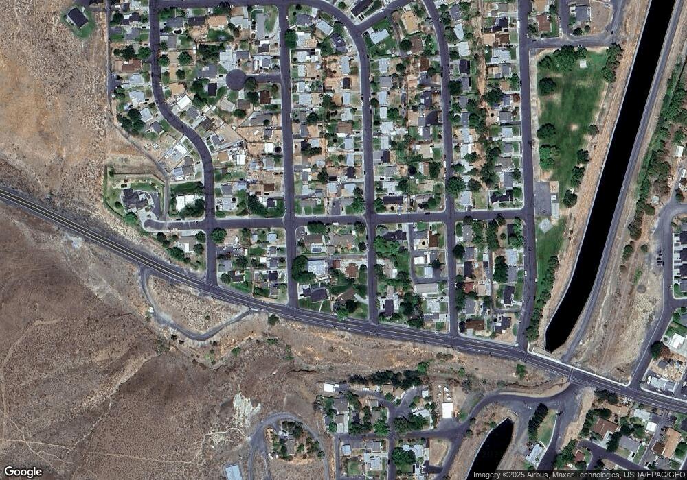
Map
Nearby Homes
- 121 Mocliff Rd
- 914 Roosevelt Blvd
- 905 Roosevelt Blvd
- 814 Roosevelt Blvd
- 921 1st Ave NW
- 921 Roosevelt Blvd
- 209 Mocliff Rd
- 118 Mocliff Rd
- 107 Mocliff Rd
- 210 Columbia Rd
- 821 Roosevelt Blvd
- 215 Mocliff Rd
- 112 Mocliff Rd
- 216 Columbia Rd
- 804 Roosevelt Blvd
- 133 Columbia Rd
- 137 Columbia Rd
- 221 Mocliff Rd
- 129 Columbia Rd
- 216 Mocliff Rd