906 Rowland Rd Leonard, MI 48367
Estimated Value: $550,000 - $925,000
3
Beds
3
Baths
2,446
Sq Ft
$283/Sq Ft
Est. Value
About This Home
This home is located at 906 Rowland Rd, Leonard, MI 48367 and is currently estimated at $693,181, approximately $283 per square foot. 906 Rowland Rd is a home located in Oakland County with nearby schools including Leonard Elementary School, Oxford Middle School, and Oxford High School.
Ownership History
Date
Name
Owned For
Owner Type
Purchase Details
Closed on
Sep 23, 2009
Sold by
Arthur Ii George and Arthur Crystal Lynn
Bought by
Arthur Crystal Lynn and Arthur Ii George
Current Estimated Value
Purchase Details
Closed on
Apr 14, 2000
Sold by
Rust Claude
Bought by
Arthur Ii George
Home Financials for this Owner
Home Financials are based on the most recent Mortgage that was taken out on this home.
Original Mortgage
$16,500
Outstanding Balance
$5,388
Interest Rate
8.21%
Estimated Equity
$687,793
Create a Home Valuation Report for This Property
The Home Valuation Report is an in-depth analysis detailing your home's value as well as a comparison with similar homes in the area
Home Values in the Area
Average Home Value in this Area
Purchase History
| Date | Buyer | Sale Price | Title Company |
|---|---|---|---|
| Arthur Crystal Lynn | -- | Safe Title Inc | |
| Arthur Ii George | $165,000 | -- |
Source: Public Records
Mortgage History
| Date | Status | Borrower | Loan Amount |
|---|---|---|---|
| Open | Arthur Ii George | $16,500 |
Source: Public Records
Tax History Compared to Growth
Tax History
| Year | Tax Paid | Tax Assessment Tax Assessment Total Assessment is a certain percentage of the fair market value that is determined by local assessors to be the total taxable value of land and additions on the property. | Land | Improvement |
|---|---|---|---|---|
| 2025 | $6,042 | $366,180 | $0 | $0 |
| 2024 | $3,979 | $348,040 | $0 | $0 |
| 2023 | $3,795 | $311,830 | $0 | $0 |
| 2022 | $5,557 | $294,030 | $0 | $0 |
| 2021 | $5,049 | $274,390 | $0 | $0 |
| 2020 | $3,585 | $267,240 | $0 | $0 |
| 2019 | $4,912 | $254,820 | $0 | $0 |
| 2018 | $4,795 | $225,240 | $0 | $0 |
| 2017 | $4,592 | $225,240 | $0 | $0 |
| 2016 | $4,561 | $201,920 | $0 | $0 |
| 2015 | -- | $201,630 | $0 | $0 |
| 2014 | -- | $184,740 | $0 | $0 |
| 2011 | -- | $138,230 | $0 | $0 |
Source: Public Records
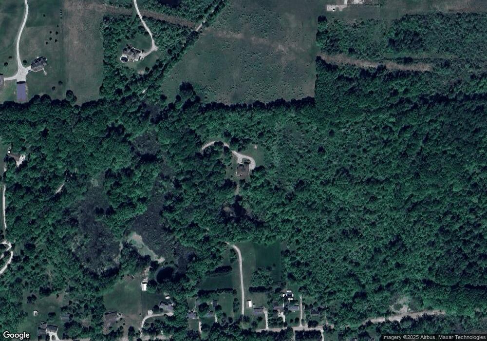
Map
Nearby Homes
- 904 Rowland Rd
- 0 Pond Unit 20251014765
- 3120 Pond Rd
- 0000 Curtis Rd Curtis Rd
- 565 W Leonard Rd
- 00 West St
- 433 Rochester Rd
- 4195 Forest St
- 2716 Lake George Rd
- 4664 Rosy Dr
- 88 E Elmwood
- 4742 Rosy Dr
- 820 Quatro Ln
- 2425 Texter Rd
- 2390 Noble Rd
- 2168 Lake George Rd
- 2051 E Oakwood Rd
- 9 Annandale
- 00TBD Hagerman Rd
- 0TBD Hagerman Rd
- 908 Rowland Rd
- 902 Rowland Rd
- 910 Rowland Rd
- 912 Rowland Rd
- 898 Rowland Rd
- 0000 Haven
- 940 Rowland Rd
- 905 Rowland Rd
- 980 Rowland Rd
- 785 Rowland Rd
- 1150 Rowland Rd
- 1091 Rowland Rd
- 3325 Pond Rd
- 1188 Rowland Rd
- 1157 Rowland Rd
- 3220 Pond Rd
- 1244 Rowland Rd
- 3140 Walnut Hills
- 1075 Noble Rd
- 3120 Walnut Hills Unit 6