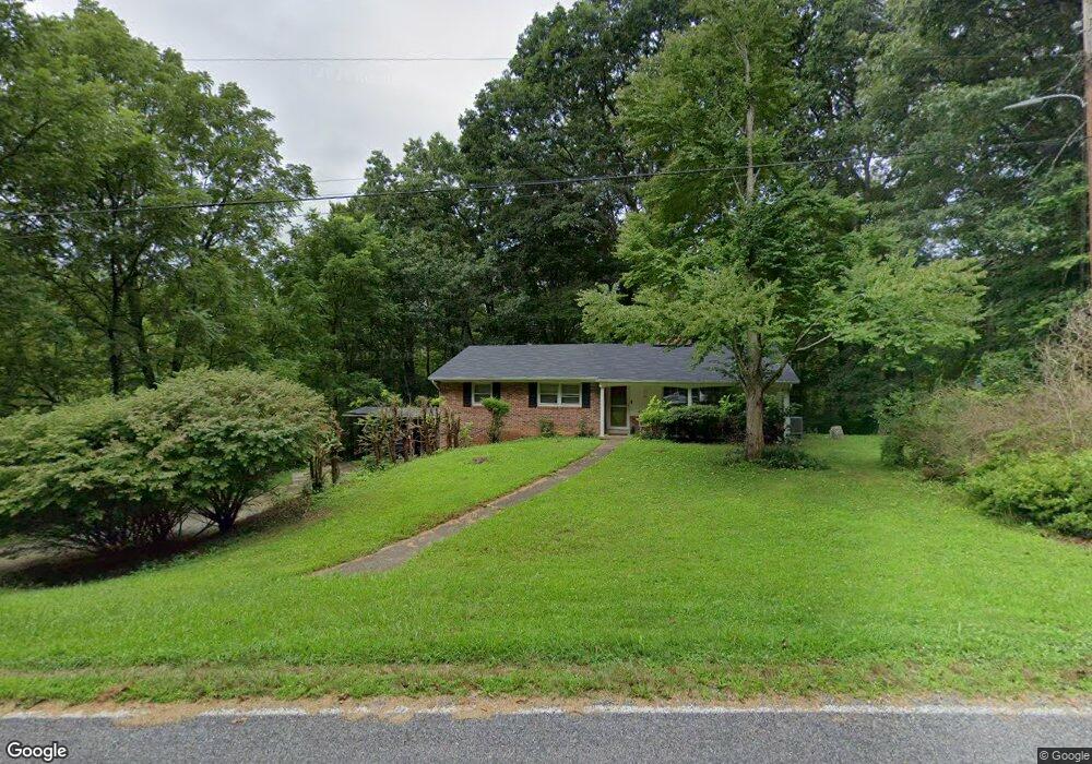
906 Scruggs Cir Canton, NC 28716
Estimated Value: $333,000 - $407,000
3
Beds
2
Baths
1,296
Sq Ft
$290/Sq Ft
Est. Value
About This Home
This home is located at 906 Scruggs Cir, Canton, NC 28716 and is currently estimated at $375,393, approximately $289 per square foot. 906 Scruggs Cir is a home located in Haywood County with nearby schools including North Canton Elementary School, Canton Middle, and Pisgah High School.
Ownership History
Date
Name
Owned For
Owner Type
Purchase Details
Closed on
Feb 13, 2019
Sold by
Angel Judith
Bought by
Hall Susan and Hall William
Current Estimated Value
Home Financials for this Owner
Home Financials are based on the most recent Mortgage that was taken out on this home.
Original Mortgage
$193,333
Outstanding Balance
$169,628
Interest Rate
4.4%
Mortgage Type
New Conventional
Estimated Equity
$205,765
Purchase Details
Closed on
Sep 27, 2001
Bought by
Angel Mary Ann and Angel Le
Create a Home Valuation Report for This Property
The Home Valuation Report is an in-depth analysis detailing your home's value as well as a comparison with similar homes in the area
Home Values in the Area
Average Home Value in this Area
Purchase History
| Date | Buyer | Sale Price | Title Company |
|---|---|---|---|
| Hall Susan | $190,000 | None Available | |
| Angel Mary Ann | -- | -- |
Source: Public Records
Mortgage History
| Date | Status | Borrower | Loan Amount |
|---|---|---|---|
| Open | Hall Susan | $193,333 |
Source: Public Records
Tax History
| Year | Tax Paid | Tax Assessment Tax Assessment Total Assessment is a certain percentage of the fair market value that is determined by local assessors to be the total taxable value of land and additions on the property. | Land | Improvement |
|---|---|---|---|---|
| 2025 | -- | $188,500 | $35,200 | $153,300 |
| 2024 | $13 | $188,500 | $35,200 | $153,300 |
| 2023 | $1,328 | $188,500 | $35,200 | $153,300 |
| 2022 | $1,299 | $188,500 | $35,200 | $153,300 |
| 2021 | $1,299 | $188,500 | $35,200 | $153,300 |
| 2020 | $1,081 | $140,800 | $23,500 | $117,300 |
| 2019 | $1,033 | $132,600 | $23,500 | $109,100 |
| 2018 | $1,033 | $132,600 | $23,500 | $109,100 |
| 2017 | $1,033 | $132,600 | $0 | $0 |
| 2016 | $1,062 | $141,100 | $0 | $0 |
| 2015 | $1,047 | $141,100 | $0 | $0 |
| 2014 | $940 | $141,100 | $0 | $0 |
Source: Public Records
Map
Nearby Homes
- 492 Scruggs Cir
- 672 Porters Ridge
- 303 Johnson Farm Rd
- 145 Keener Rd
- 331 Silent Forest Dr
- 204 Mountain Spring Ln
- 00 Beaverdam Rd
- 00 Carver Cove Rd
- 1389 Newfound Rd
- 22 Mountain Spring Ln
- 13 Eastwood Dr
- 112 Hy Vu Dr
- 00 Hunters Ridge Rd Unit 62, 63, 64
- 9999 Hunters Ridge Rd
- 761 N Main St
- 1672 Worley Cove Rd
- 00 Wilson Cove Rd
- 622 N Main St
- 1261 Asheville Hwy
- 412 Trammell Ave
- 893 Scruggs Cir
- 14 Woodcrest Dr
- Scruggs Cir
- 846 Scruggs Cir
- 7701 Woodcrest Dr
- 996 Scruggs Cir
- 89 Woodcrest Dr
- 684 Scruggs Cir
- 847 Scruggs Cir
- 641 Scruggs Cir
- 1004 Scruggs Cir
- 759 Scruggs Cir
- 1022 Scruggs Cir
- 1019 Scruggs Cir
- 555 Scruggs Cir
- 1054 Scruggs Cir
- 1047 Scruggs Cir
- 215 Rolling Hills Rd
- 775 Scruggs Cir
- 535 Scruggs Cir
Your Personal Tour Guide
Ask me questions while you tour the home.