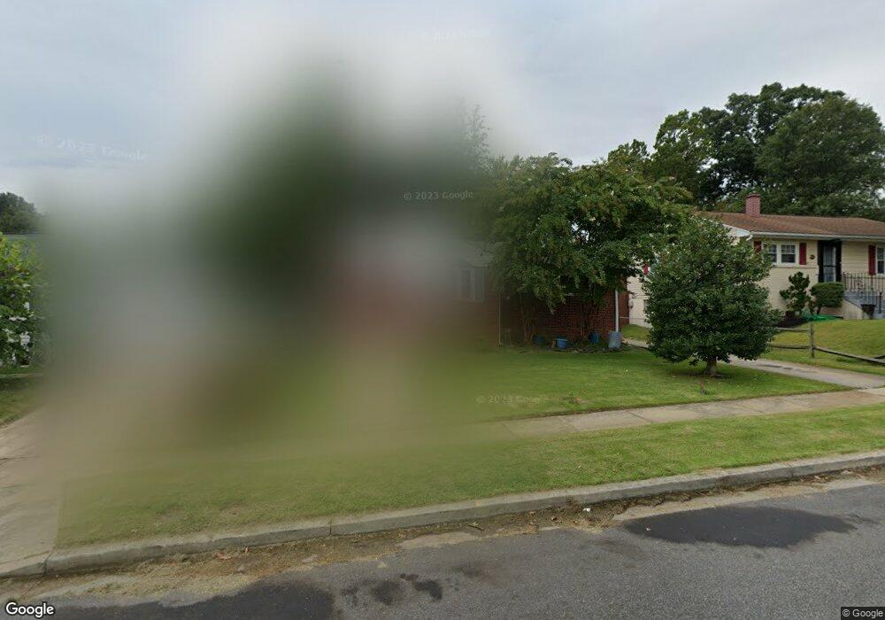
906 White Way Laurel, MD 20707
Estimated Value: $389,000 - $406,439
Studio
2
Baths
1,016
Sq Ft
$388/Sq Ft
Est. Value
About This Home
This home is located at 906 White Way, Laurel, MD 20707 and is currently estimated at $394,610, approximately $388 per square foot. 906 White Way is a home located in Prince George's County with nearby schools including Scotchtown Hills Elementary School, Dwight D. Eisenhower Middle School, and Laurel High School.
Ownership History
Date
Name
Owned For
Owner Type
Purchase Details
Closed on
Oct 8, 2004
Sold by
Deavers Raymond M
Bought by
Carroll Jacques E and Etal Jessica R
Current Estimated Value
Purchase Details
Closed on
Oct 1, 2004
Sold by
Deavers Raymond M
Bought by
Carroll Jacques E
Purchase Details
Closed on
Aug 26, 2004
Sold by
Deavers Raymond M
Bought by
Carroll Jacques E and Etal Jessica R
Purchase Details
Closed on
Nov 12, 1993
Sold by
Green
Bought by
Deavers Raymond M
Home Financials for this Owner
Home Financials are based on the most recent Mortgage that was taken out on this home.
Original Mortgage
$122,827
Interest Rate
6.79%
Create a Home Valuation Report for This Property
The Home Valuation Report is an in-depth analysis detailing your home's value as well as a comparison with similar homes in the area
Home Values in the Area
Average Home Value in this Area
Purchase History
We collect this data history from publicly available records. To have your information removed, we recommend requesting removal directly through your county’s website.
| Date | Buyer | Sale Price | Title Company |
|---|---|---|---|
| Carroll Jacques E | $270,000 | -- | |
| Carroll Jacques E | $270,000 | -- | |
| Carroll Jacques E | $270,000 | -- | |
| Deavers Raymond M | $122,000 | -- |
Source: Public Records
Mortgage History
We collect this data history from publicly available records. To have your information removed, we recommend requesting removal directly through your county’s website.
| Date | Status | Borrower | Loan Amount |
|---|---|---|---|
| Previous Owner | Deavers Raymond M | $122,827 |
Source: Public Records
Tax History
| Year | Tax Paid | Tax Assessment Tax Assessment Total Assessment is a certain percentage of the fair market value that is determined by local assessors to be the total taxable value of land and additions on the property. | Land | Improvement |
|---|---|---|---|---|
| 2025 | $5,328 | $349,300 | $101,000 | $248,300 |
| 2024 | $5,328 | $320,633 | -- | -- |
| 2023 | $4,955 | $291,967 | $0 | $0 |
| 2022 | $4,559 | $263,300 | $76,000 | $187,300 |
| 2021 | $4,434 | $262,433 | $0 | $0 |
| 2020 | $4,406 | $261,567 | $0 | $0 |
| 2019 | $4,369 | $260,700 | $75,500 | $185,200 |
| 2018 | $4,206 | $248,833 | $0 | $0 |
| 2017 | $4,067 | $236,967 | $0 | $0 |
| 2016 | -- | $225,100 | $0 | $0 |
| 2015 | $3,481 | $221,767 | $0 | $0 |
| 2014 | $3,481 | $218,433 | $0 | $0 |
Source: Public Records
Map
Nearby Homes
- 1031 Marton St
- 1019 Marton St
- 8239 Londonderry Ct
- 8209 Londonderry Ct
- 14939 Ashford Ct
- 809 Montrose Ave
- 15307 Arbory Way
- 15028 Wheatland Place
- 14806 Ashford Ct
- 14835 Belle Ami Dr
- 7644 S Arbory Ln
- 15619 Birch Run Terrace
- 15628 Mews Ct
- 7650 S Arbory Ln
- 15011 Laureland Place
- 916 Philip Powers Dr
- 7675 S Arbory Ln
- 7630 S Arbory Ln
- 620 8th St
- 8030 Ashford Blvd
Your Personal Tour Guide
Ask me questions while you tour the home.