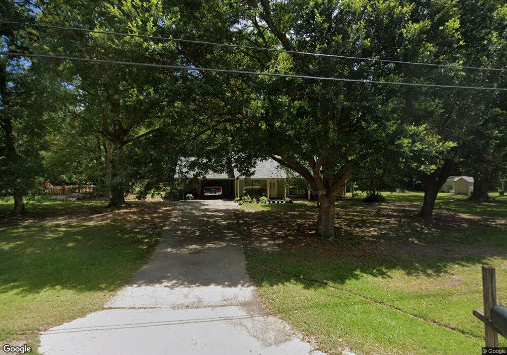
9061 Mot St Denham Springs, LA 70706
Estimated Value: $187,000 - $199,000
3
Beds
2
Baths
1,540
Sq Ft
$125/Sq Ft
Est. Value
About This Home
This home is located at 9061 Mot St, Denham Springs, LA 70706 and is currently estimated at $192,835, approximately $125 per square foot. 9061 Mot St is a home located in Livingston Parish with nearby schools including Live Oak Elementary School, Live Oak Middle School, and Live Oak High School.
Ownership History
Date
Name
Owned For
Owner Type
Purchase Details
Closed on
Apr 9, 2025
Sold by
Smith Stephanie V and Murry Stephanie V
Bought by
Hebert Debra
Current Estimated Value
Purchase Details
Closed on
Aug 21, 2015
Sold by
Gallegos Murphy Carmen and Murphy Kelly Tyton
Bought by
Smith Stephanie V
Home Financials for this Owner
Home Financials are based on the most recent Mortgage that was taken out on this home.
Original Mortgage
$154,081
Interest Rate
4.08%
Mortgage Type
New Conventional
Create a Home Valuation Report for This Property
The Home Valuation Report is an in-depth analysis detailing your home's value as well as a comparison with similar homes in the area
Home Values in the Area
Average Home Value in this Area
Purchase History
| Date | Buyer | Sale Price | Title Company |
|---|---|---|---|
| Hebert Debra | $185,000 | Old Republic National Title | |
| Smith Stephanie V | $51,000 | Milestone Title Inc |
Source: Public Records
Mortgage History
| Date | Status | Borrower | Loan Amount |
|---|---|---|---|
| Previous Owner | Ranburger William | $57,600 | |
| Previous Owner | Smith Stephanie V | $154,081 | |
| Previous Owner | Murphy Kelly | $99,434 |
Source: Public Records
Tax History Compared to Growth
Tax History
| Year | Tax Paid | Tax Assessment Tax Assessment Total Assessment is a certain percentage of the fair market value that is determined by local assessors to be the total taxable value of land and additions on the property. | Land | Improvement |
|---|---|---|---|---|
| 2024 | $1,843 | $16,211 | $3,660 | $12,551 |
| 2023 | $1,426 | $10,880 | $2,820 | $8,060 |
| 2022 | $1,435 | $10,880 | $2,820 | $8,060 |
| 2021 | $1,276 | $10,880 | $2,820 | $8,060 |
| 2020 | $1,270 | $10,880 | $2,820 | $8,060 |
| 2019 | $1,415 | $11,780 | $2,140 | $9,640 |
| 2018 | $1,433 | $11,780 | $2,140 | $9,640 |
| 2017 | $1,462 | $11,780 | $2,140 | $9,640 |
| 2015 | $570 | $11,880 | $1,930 | $9,950 |
| 2014 | $585 | $11,940 | $1,930 | $10,010 |
Source: Public Records
Map
Nearby Homes
- 34675 Oak Place Dr
- 8812 Tatler St
- 34868 Gravesbriar Dr
- 34403 Woodland Trail
- 34320 Woodland Trail
- 34948 Quail Creek Dr
- 34094 Kingfisher St
- 9001 Springfield Rd
- 35024 Madisonville Dr
- 35096 Madisonville Dr
- 35874 Cane Market Rd
- 35980 Cane Market Rd
- Tract B Springfield Rd
- 35096 Stonecastle Dr
- 8614 Sandpiper St
- 9475 Deer Path Dr
- 33716 Browning Rd
- 8403 Jo Lee Dr
- 10462 Highcrest Dr
- 0 Old Winchester Rd