9062 Cedar Rd Chesterland, OH 44026
Estimated Value: $293,000 - $352,000
4
Beds
2
Baths
1,872
Sq Ft
$170/Sq Ft
Est. Value
About This Home
This home is located at 9062 Cedar Rd, Chesterland, OH 44026 and is currently estimated at $317,406, approximately $169 per square foot. 9062 Cedar Rd is a home located in Geauga County with nearby schools including West Geauga High School and St Anselm School.
Ownership History
Date
Name
Owned For
Owner Type
Purchase Details
Closed on
Dec 19, 2024
Sold by
Tropf Mary Elizabeth
Bought by
Gillen Logan J and Gillen Jenny
Current Estimated Value
Home Financials for this Owner
Home Financials are based on the most recent Mortgage that was taken out on this home.
Original Mortgage
$232,000
Outstanding Balance
$230,175
Interest Rate
6.79%
Mortgage Type
New Conventional
Estimated Equity
$87,231
Purchase Details
Closed on
Jan 1, 1990
Bought by
Tropf John Louis
Create a Home Valuation Report for This Property
The Home Valuation Report is an in-depth analysis detailing your home's value as well as a comparison with similar homes in the area
Home Values in the Area
Average Home Value in this Area
Purchase History
| Date | Buyer | Sale Price | Title Company |
|---|---|---|---|
| Gillen Logan J | $290,000 | None Listed On Document | |
| Gillen Logan J | $290,000 | None Listed On Document | |
| Tropf John Louis | -- | -- |
Source: Public Records
Mortgage History
| Date | Status | Borrower | Loan Amount |
|---|---|---|---|
| Open | Gillen Logan J | $232,000 | |
| Closed | Gillen Logan J | $232,000 |
Source: Public Records
Tax History Compared to Growth
Tax History
| Year | Tax Paid | Tax Assessment Tax Assessment Total Assessment is a certain percentage of the fair market value that is determined by local assessors to be the total taxable value of land and additions on the property. | Land | Improvement |
|---|---|---|---|---|
| 2024 | $3,681 | $94,990 | $21,210 | $73,780 |
| 2023 | $3,681 | $94,990 | $21,210 | $73,780 |
| 2022 | $3,046 | $69,200 | $17,680 | $51,520 |
| 2021 | $3,037 | $69,200 | $17,680 | $51,520 |
| 2020 | $3,157 | $69,200 | $17,680 | $51,520 |
| 2019 | $290 | $62,480 | $17,680 | $44,800 |
| 2018 | $2,881 | $62,480 | $17,680 | $44,800 |
| 2017 | $2,905 | $62,480 | $17,680 | $44,800 |
| 2016 | $2,615 | $54,460 | $17,150 | $37,310 |
| 2015 | $2,422 | $54,460 | $17,150 | $37,310 |
| 2014 | $2,422 | $54,460 | $17,150 | $37,310 |
| 2013 | $2,928 | $54,460 | $17,150 | $37,310 |
Source: Public Records
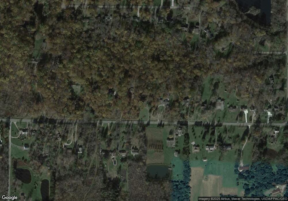
Map
Nearby Homes
- 8949 Ranch Dr
- 8735 Cedar Rd
- 9502 Winchester Valley
- 8547 Camelot Dr
- 0 Cedar Rd
- 8701 Mayfield Rd Unit 194
- 8986 Fairmount Rd
- 9475 Mayfield Rd
- 13610 Sperry Rd
- 9448 Mayfield Rd
- 13655 Sperry Rd
- 12790 Heath Rd
- 13031 Dorothy Dr
- 13339 Hickory St
- 0 Hickory St
- 13170 Caves Rd
- 10263 Wye Rd
- 7775 Woodlands Trail
- 7730 Cedar Rd
- 14545 Shire Ct