90650 Sunderman Rd Springfield, OR 97478
Estimated Value: $772,000 - $887,000
5
Beds
2
Baths
2,304
Sq Ft
$354/Sq Ft
Est. Value
About This Home
This home is located at 90650 Sunderman Rd, Springfield, OR 97478 and is currently estimated at $815,582, approximately $353 per square foot. 90650 Sunderman Rd is a home located in Lane County with nearby schools including Yolanda Elementary School, Briggs Middle School, and Thurston High School.
Ownership History
Date
Name
Owned For
Owner Type
Purchase Details
Closed on
Jul 26, 2010
Sold by
Brixius Michael L
Bought by
Desmond Laura L
Current Estimated Value
Purchase Details
Closed on
May 15, 2007
Sold by
Cooper Helen C and Desmond Helen C
Bought by
Desmond Laura and Brixius Michael L
Purchase Details
Closed on
Sep 5, 2003
Sold by
Cooper Helen C and Desmond Helen C
Bought by
Desmond Laura and Brixius Michael L
Home Financials for this Owner
Home Financials are based on the most recent Mortgage that was taken out on this home.
Original Mortgage
$206,000
Interest Rate
5.87%
Mortgage Type
Purchase Money Mortgage
Purchase Details
Closed on
Jun 25, 1998
Sold by
Cooper Helen C and Cooper Helen C
Bought by
Cooper Helen C
Home Financials for this Owner
Home Financials are based on the most recent Mortgage that was taken out on this home.
Original Mortgage
$131,400
Interest Rate
8.8%
Create a Home Valuation Report for This Property
The Home Valuation Report is an in-depth analysis detailing your home's value as well as a comparison with similar homes in the area
Home Values in the Area
Average Home Value in this Area
Purchase History
| Date | Buyer | Sale Price | Title Company |
|---|---|---|---|
| Desmond Laura L | $35,000 | None Available | |
| Desmond Laura | -- | Evergreen Land Title Co | |
| Desmond Laura | $257,500 | Evergreen Land Title Co | |
| Cooper Helen C | -- | Evergreen Land Title Co |
Source: Public Records
Mortgage History
| Date | Status | Borrower | Loan Amount |
|---|---|---|---|
| Previous Owner | Desmond Laura | $206,000 | |
| Previous Owner | Cooper Helen C | $131,400 | |
| Closed | Desmond Laura | $51,500 |
Source: Public Records
Tax History Compared to Growth
Tax History
| Year | Tax Paid | Tax Assessment Tax Assessment Total Assessment is a certain percentage of the fair market value that is determined by local assessors to be the total taxable value of land and additions on the property. | Land | Improvement |
|---|---|---|---|---|
| 2024 | $4,256 | $378,961 | -- | -- |
| 2023 | $4,256 | $367,924 | $0 | $0 |
| 2022 | $3,973 | $357,208 | $0 | $0 |
| 2021 | $3,880 | $346,804 | $0 | $0 |
| 2020 | $3,075 | $275,122 | $0 | $0 |
| 2019 | $2,961 | $267,109 | $0 | $0 |
| 2018 | $2,840 | $251,777 | $0 | $0 |
| 2017 | $2,532 | $251,777 | $0 | $0 |
| 2016 | $2,337 | $231,665 | $0 | $0 |
| 2015 | $2,260 | $223,319 | $0 | $0 |
| 2014 | $2,174 | $215,365 | $0 | $0 |
Source: Public Records
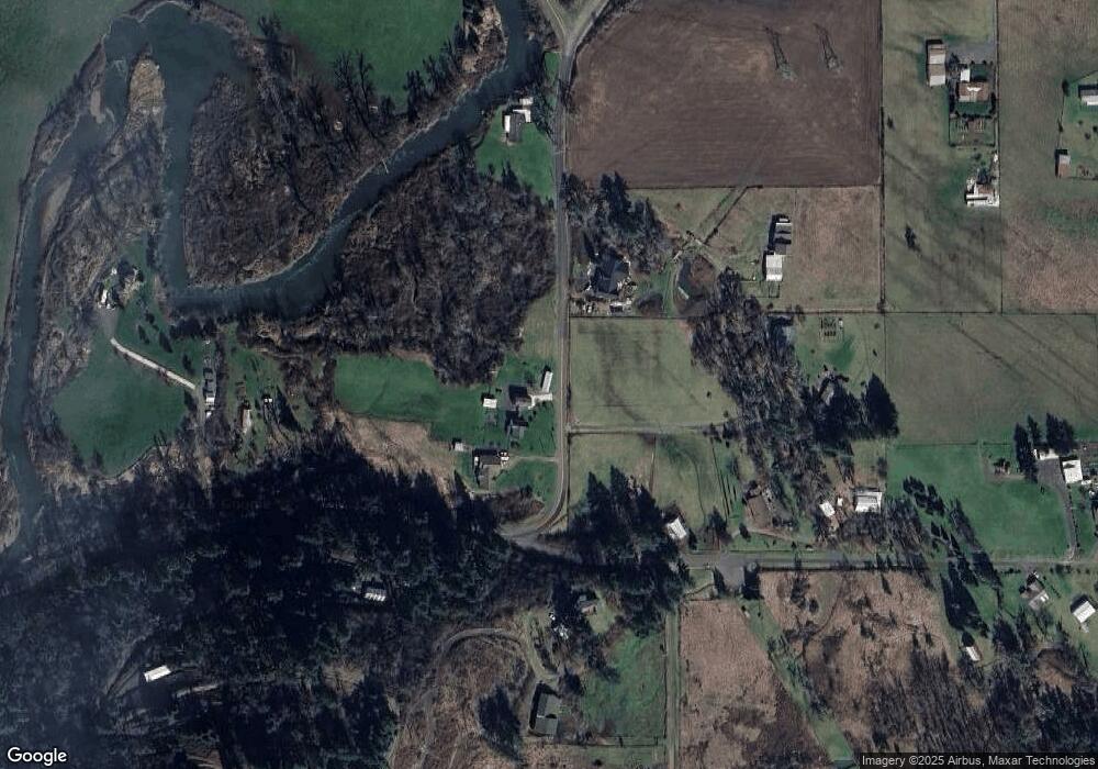
Map
Nearby Homes
- 37186 Tree Farm Rd
- 36910 Edgehill Rd
- 90948 Sunderman Rd
- 90498 Sunderman Rd
- 0 Alder Branch Rd Unit 610990611
- 90402 Marcola Rd
- 37082 Goats Rd
- 91375 Marcola Rd
- 36589 Alder Branch Rd
- 0 Hill Rd
- 0 McGowan Creek Rd Unit 23316316
- 92020 Maple Ln
- 0 Cascade Woods Dr Unit 24194354
- 89387 Old Mohawk Rd
- 37495 Parsons Creek Rd
- 89112 Sky High Dr
- 0 Upper Camp Creek Rd Unit 734099093
- 0 Upper Camp Creek Rd Unit 473471921
- 38058 Railroad Ln
- 37691 Upper Camp Creek Rd
- 90646 Sunderman Rd
- 90691 Sunderman Rd
- 36890 Edgehill Rd
- 90639 Sunderman Rd
- 36949 Edgehill Rd
- 90744 Sunderman Rd
- 90658 Sunderman Rd
- 90632 Sunderman Rd
- 90633 Sunderman Rd
- 36900 Edgehill Rd
- 36935 Tree Farm Rd
- 90797 Sunderman Rd
- 90802 Sunderman Rd
- 37010 Tree Farm Rd
- 37035 Edgehill Rd
- 90832 Sunderman Rd
- 90623 Sunderman Rd
- 90815 Sunderman Rd Unit VRM
- 90815 Sunderman Rd
- 37046 Tree Farm Rd