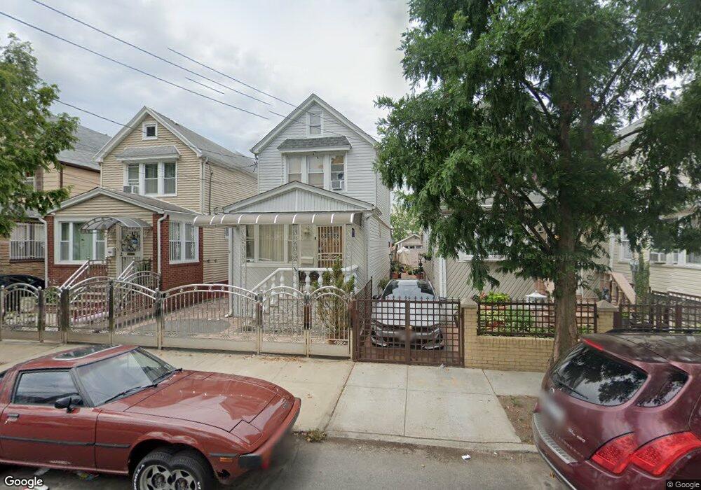
9066 199th St Hollis, NY 11423
Hollis NeighborhoodEstimated Value: $654,076 - $818,000
--
Bed
--
Bath
1,280
Sq Ft
$593/Sq Ft
Est. Value
About This Home
This home is located at 9066 199th St, Hollis, NY 11423 and is currently estimated at $759,019, approximately $592 per square foot. 9066 199th St is a home located in Queens County with nearby schools including P.S. 35 Nathaniel Woodhull, I.S. 238 Susan B Anthony Academy, and Incarnation Catholic Academy.
Ownership History
Date
Name
Owned For
Owner Type
Purchase Details
Closed on
Jan 18, 2002
Sold by
Balrup Usha D and Samaroo Chaitram
Bought by
Balrup Usha D and Samaroo Chaitram
Current Estimated Value
Home Financials for this Owner
Home Financials are based on the most recent Mortgage that was taken out on this home.
Original Mortgage
$153,000
Outstanding Balance
$62,701
Interest Rate
7.08%
Estimated Equity
$696,318
Purchase Details
Closed on
Sep 1, 1995
Sold by
Dindayal Paltain and Dindayal Jaiantie
Bought by
Balrup Usha D and Samaroo Chaitram
Home Financials for this Owner
Home Financials are based on the most recent Mortgage that was taken out on this home.
Original Mortgage
$155,420
Interest Rate
7.81%
Mortgage Type
FHA
Create a Home Valuation Report for This Property
The Home Valuation Report is an in-depth analysis detailing your home's value as well as a comparison with similar homes in the area
Home Values in the Area
Average Home Value in this Area
Purchase History
| Date | Buyer | Sale Price | Title Company |
|---|---|---|---|
| Balrup Usha D | -- | -- | |
| Balrup Usha D | $158,000 | -- |
Source: Public Records
Mortgage History
| Date | Status | Borrower | Loan Amount |
|---|---|---|---|
| Open | Balrup Usha D | $153,000 | |
| Previous Owner | Balrup Usha D | $155,420 |
Source: Public Records
Tax History Compared to Growth
Tax History
| Year | Tax Paid | Tax Assessment Tax Assessment Total Assessment is a certain percentage of the fair market value that is determined by local assessors to be the total taxable value of land and additions on the property. | Land | Improvement |
|---|---|---|---|---|
| 2025 | $5,677 | $31,420 | $8,654 | $22,766 |
| 2024 | $5,689 | $29,665 | $9,380 | $20,285 |
| 2023 | $5,418 | $28,373 | $8,323 | $20,050 |
| 2022 | $5,120 | $35,340 | $12,180 | $23,160 |
| 2021 | $5,404 | $34,140 | $12,180 | $21,960 |
| 2020 | $5,246 | $29,340 | $12,180 | $17,160 |
| 2019 | $4,879 | $31,500 | $12,180 | $19,320 |
| 2018 | $4,522 | $23,644 | $9,937 | $13,707 |
| 2017 | $4,302 | $22,572 | $9,606 | $12,966 |
| 2016 | $4,203 | $22,572 | $9,606 | $12,966 |
| 2015 | $2,349 | $21,819 | $11,007 | $10,812 |
| 2014 | $2,349 | $20,601 | $12,482 | $8,119 |
Source: Public Records
Map
Nearby Homes
- 93-17 201st St
- 9051 201st St
- 9302 202nd St
- 9048 204th St
- 90-62 204th St
- 93-45 202nd St
- 94-72 199th St
- 19624 90th Ave
- 89-25 201st St
- 89-42 202nd St
- 9317 197th St
- 197-31 Carpenter Ave
- 197-21 Carpenter Ave Unit 1G
- 90-36 Francis Lewis Blvd
- 99-11 200th St
- 89-48 196th St
- 90-13 Francis Lewis Blvd
- 88-49 202nd St
- 90-32 207th St
- 88-38 201st St