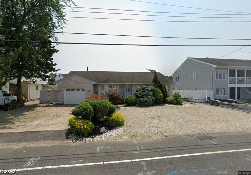
907 Capstan Dr Forked River, NJ 08731
Estimated Value: $723,661 - $801,000
3
Beds
3
Baths
1,762
Sq Ft
$438/Sq Ft
Est. Value
About This Home
This home is located at 907 Capstan Dr, Forked River, NJ 08731 and is currently estimated at $772,415, approximately $438 per square foot. 907 Capstan Dr is a home located in Ocean County with nearby schools including Lacey Township High School.
Ownership History
Date
Name
Owned For
Owner Type
Purchase Details
Closed on
Sep 9, 2005
Sold by
Dalton Frank A and Dalton Joanne C
Bought by
Asciolla Thomas and Asciolla Laura
Current Estimated Value
Home Financials for this Owner
Home Financials are based on the most recent Mortgage that was taken out on this home.
Original Mortgage
$50,000
Outstanding Balance
$26,847
Interest Rate
5.81%
Mortgage Type
Stand Alone Second
Estimated Equity
$745,568
Purchase Details
Closed on
Feb 12, 2000
Sold by
Agliata Paul
Bought by
Dalton Frank and Dalton Joanne
Home Financials for this Owner
Home Financials are based on the most recent Mortgage that was taken out on this home.
Original Mortgage
$155,000
Interest Rate
8.15%
Create a Home Valuation Report for This Property
The Home Valuation Report is an in-depth analysis detailing your home's value as well as a comparison with similar homes in the area
Home Values in the Area
Average Home Value in this Area
Purchase History
| Date | Buyer | Sale Price | Title Company |
|---|---|---|---|
| Asciolla Thomas | $500,000 | Couch-Braunsdorf Title Agenc | |
| Dalton Frank | $195,000 | -- |
Source: Public Records
Mortgage History
| Date | Status | Borrower | Loan Amount |
|---|---|---|---|
| Open | Asciolla Thomas | $50,000 | |
| Open | Asciolla Thomas | $400,000 | |
| Previous Owner | Dalton Frank | $155,000 |
Source: Public Records
Tax History
| Year | Tax Paid | Tax Assessment Tax Assessment Total Assessment is a certain percentage of the fair market value that is determined by local assessors to be the total taxable value of land and additions on the property. | Land | Improvement |
|---|---|---|---|---|
| 2025 | $9,457 | $373,200 | $217,500 | $155,700 |
| 2024 | $8,841 | $373,200 | $217,500 | $155,700 |
Source: Public Records
Map
Nearby Homes
- 915 Shenandoah Dr
- 715 Richmond Dr
- 709 Richmond Dr
- 0 Windward Dr Unit NJOC2039288
- 0 Windward Dr Unit 22601526
- 986 Capstan Dr
- 510 Conifer Dr
- 814 Ensign Dr
- 1025 Capstan Dr
- 330 Riviera Dr
- 207 Sunset Dr
- 201 Nautilus Blvd
- 502 Teakwood Dr
- 0 Union Ct Unit 22605987
- 1407 Hilo Bay Dr
- 118 Hemlock Dr
- 416 Chestnut Dr
- 301 Chestnut Dr
- 606 Bowsprit Point
- 109 Laurel Blvd
Your Personal Tour Guide
Ask me questions while you tour the home.