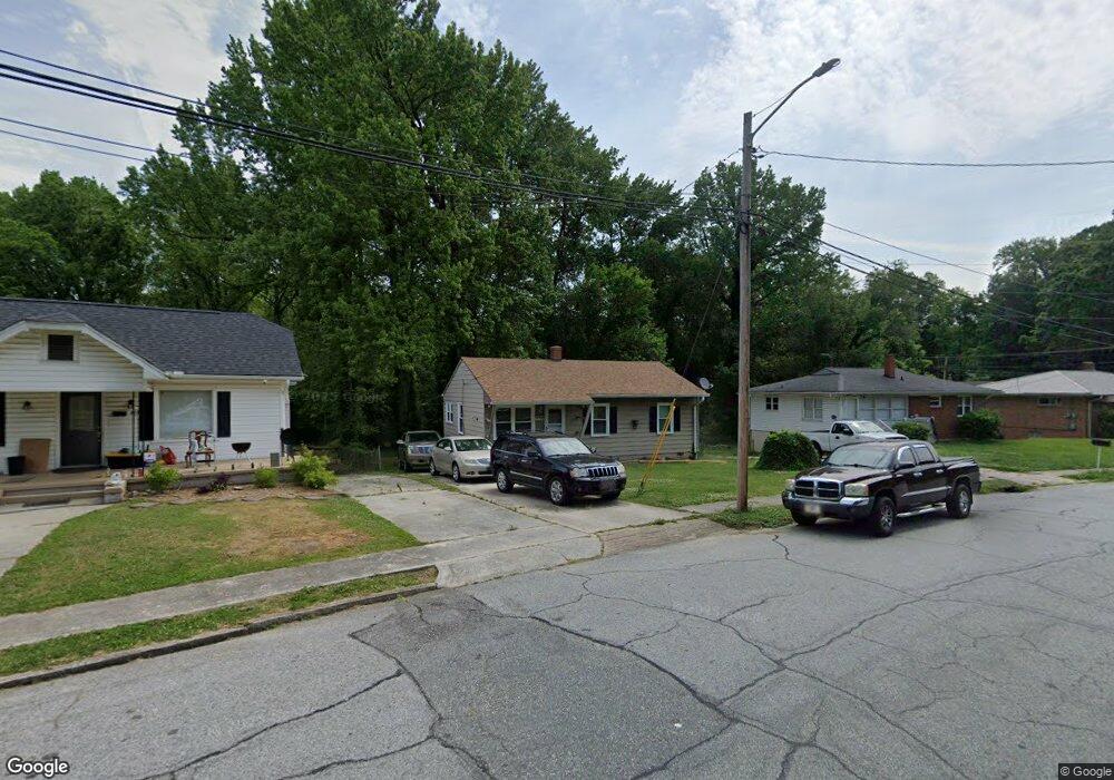
907 Circle Dr High Point, NC 27262
Greater High Point NeighborhoodEstimated Value: $99,000 - $133,199
3
Beds
1
Bath
840
Sq Ft
$134/Sq Ft
Est. Value
About This Home
This home is located at 907 Circle Dr, High Point, NC 27262 and is currently estimated at $112,300, approximately $133 per square foot. 907 Circle Dr is a home located in Guilford County with nearby schools including Kirkman Park Elementary School, Penn-Griffin School for the Arts, and T.W. Andrews High School.
Ownership History
Date
Name
Owned For
Owner Type
Purchase Details
Closed on
Jan 27, 2017
Sold by
Cash Printist H and Cash Barbara J
Bought by
Cash Printist H and Scott Vivian C
Current Estimated Value
Purchase Details
Closed on
Dec 30, 2014
Sold by
Scott Kevin S and Scott Vivian C
Bought by
Cash Printist H
Purchase Details
Closed on
Dec 23, 2014
Sold by
Cash Printist H and Cash Barbara J
Bought by
Scott Vivian C
Purchase Details
Closed on
Dec 22, 1994
Bought by
Cash Printist H
Create a Home Valuation Report for This Property
The Home Valuation Report is an in-depth analysis detailing your home's value as well as a comparison with similar homes in the area
Home Values in the Area
Average Home Value in this Area
Purchase History
| Date | Buyer | Sale Price | Title Company |
|---|---|---|---|
| Cash Printist H | -- | Chicago Title Insurance Comp | |
| Cash Printist H | -- | Chicago Title Insurance Co | |
| Scott Vivian C | -- | Chicago Title Insurance Co | |
| Cash Printist H | $32,000 | -- |
Source: Public Records
Tax History
| Year | Tax Paid | Tax Assessment Tax Assessment Total Assessment is a certain percentage of the fair market value that is determined by local assessors to be the total taxable value of land and additions on the property. | Land | Improvement |
|---|---|---|---|---|
| 2025 | $806 | $58,500 | $22,000 | $36,500 |
| 2024 | $806 | $58,500 | $22,000 | $36,500 |
| 2023 | $806 | $58,500 | $22,000 | $36,500 |
| 2022 | $789 | $58,500 | $22,000 | $36,500 |
| 2021 | $537 | $39,000 | $10,000 | $29,000 |
| 2020 | $537 | $39,000 | $10,000 | $29,000 |
| 2019 | $537 | $39,000 | $0 | $0 |
| 2018 | $535 | $39,000 | $0 | $0 |
| 2017 | $535 | $39,000 | $0 | $0 |
| 2016 | $548 | $39,100 | $0 | $0 |
| 2015 | $551 | $39,100 | $0 | $0 |
| 2014 | $561 | $39,100 | $0 | $0 |
Source: Public Records
Map
Nearby Homes
- 828 Circle Dr
- 1012 Meadowbrook Blvd
- 1120 Carolina St
- 1519 Mcguinn Dr
- 1445 Bailey Cir
- 1508 Boundary Ave
- 1308 Boundary Ave
- 1602 Boundary Ave
- 1604 Boundary Ave
- 1604 E Lexington Ave
- 1606 Boundary Ave
- 2209 Gable Way
- 1509 & 1511 Wiltshire St
- 1402 Darden St
- 837 Willow Place
- 844 Willow Place
- 2507 Suffolk Ave
- 1702 Brockett Ave
- 1707 Brockett Ave
- 205 Beach St
- 905 Circle Dr
- 909 Circle Dr
- 903 Circle Dr
- 903 Circle Dr
- 1043 Montlieu Ave
- 911 Circle Dr
- 1029 Montlieu Ave
- 1006 Terrell Dr
- 906 Circle Dr
- 836 Circle Dr
- 1027 Montlieu Ave
- 834 Circle Dr
- 1040 Montlieu Ave
- 1008 Terrell Dr
- 1118 Meadowbrook Blvd
- 833 Circle Dr
- 1025 Montlieu Ave
- 1042 Montlieu Ave
- 1116 Meadowbrook Blvd
- 1023 Montlieu Ave
Your Personal Tour Guide
Ask me questions while you tour the home.