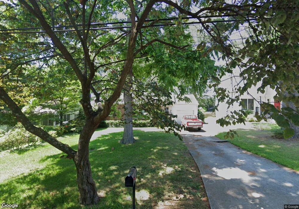
907 Derrydown Way Decatur, GA 30030
Winnona Park Historic District NeighborhoodEstimated Value: $410,000 - $610,000
2
Beds
1
Bath
1,157
Sq Ft
$420/Sq Ft
Est. Value
About This Home
This home is located at 907 Derrydown Way, Decatur, GA 30030 and is currently estimated at $485,784, approximately $419 per square foot. 907 Derrydown Way is a home located in DeKalb County with nearby schools including Winnona Park Elementary School, Talley Street Elementary School, and Beacon Hill Middle School.
Ownership History
Date
Name
Owned For
Owner Type
Purchase Details
Closed on
Dec 22, 2021
Sold by
Kendall David C
Bought by
Derrydown Real Estate Holdings Llc
Current Estimated Value
Purchase Details
Closed on
Jan 20, 2015
Sold by
Smith Frances Stinson
Bought by
Kendall David C and Kendall Katherine V
Home Financials for this Owner
Home Financials are based on the most recent Mortgage that was taken out on this home.
Original Mortgage
$158,000
Interest Rate
3.9%
Mortgage Type
New Conventional
Create a Home Valuation Report for This Property
The Home Valuation Report is an in-depth analysis detailing your home's value as well as a comparison with similar homes in the area
Home Values in the Area
Average Home Value in this Area
Purchase History
| Date | Buyer | Sale Price | Title Company |
|---|---|---|---|
| Derrydown Real Estate Holdings Llc | -- | -- | |
| Kendall David C | $197,500 | -- |
Source: Public Records
Mortgage History
| Date | Status | Borrower | Loan Amount |
|---|---|---|---|
| Previous Owner | Kendall David C | $158,000 |
Source: Public Records
Tax History Compared to Growth
Tax History
| Year | Tax Paid | Tax Assessment Tax Assessment Total Assessment is a certain percentage of the fair market value that is determined by local assessors to be the total taxable value of land and additions on the property. | Land | Improvement |
|---|---|---|---|---|
| 2024 | $1,878 | $178,760 | $106,000 | $72,760 |
| 2023 | $1,878 | $147,880 | $62,800 | $85,080 |
| 2022 | $7,634 | $122,720 | $62,800 | $59,920 |
| 2021 | $11,954 | $127,600 | $42,520 | $85,080 |
| 2020 | $6,674 | $134,360 | $42,520 | $91,840 |
| 2019 | $6,233 | $134,880 | $42,520 | $92,360 |
| 2018 | $3,553 | $124,160 | $37,160 | $87,000 |
| 2017 | $3,989 | $79,000 | $34,080 | $44,920 |
| 2016 | $2,324 | $79,000 | $34,080 | $44,920 |
| 2014 | $1,545 | $51,320 | $19,520 | $31,800 |
Source: Public Records
Map
Nearby Homes
- 451 S Columbia Dr
- 2600 Talley St
- Olmstead Plan at New Talley Station - Stacks
- Dalton Plan at New Talley Station - Stacks
- McKoy Plan at New Talley Station - Stacks
- 827 Derrydown Way
- 230 New St Unit 2201-47
- 230 New St Unit 2201-4
- 2630 Talley St Unit 326
- 2630 Talley St Unit 106
- 201 New St Unit 2304-105
- 201 New St Unit 2304-1
- 201 New St Unit 2203-1
- 201 New St Unit 2203-101
- 201 New St Unit 2305-108
- 201 New St Unit 2305-1
- 201 New St Unit 2301
- 201 New St Unit 2201-9
- 201 New St Unit 2201-95
- 135 Shadowmoor Dr
- 913 Derrydown Way
- 903 Derrydown Way
- 895 Derrydown Way
- 891 Derrydown Way
- 906 Derrydown Way
- 912 Derrydown Way
- 902 Derrydown Way
- 902 Derrydown Way Unit 7
- 927 Derrydown Way
- 885 Derrydown Way
- 916 Derrydown Way
- 894 Derrydown Way
- 922 Derrydown Way
- 336 S Columbia Dr
- 881 Derrydown Way
- 933 Derrydown Way
- 890 Derrydown Way
- 0 Derrydown Way Unit 8655046
- 0 Derrydown Way Unit 8580621
- 0 Derrydown Way Unit 8184275