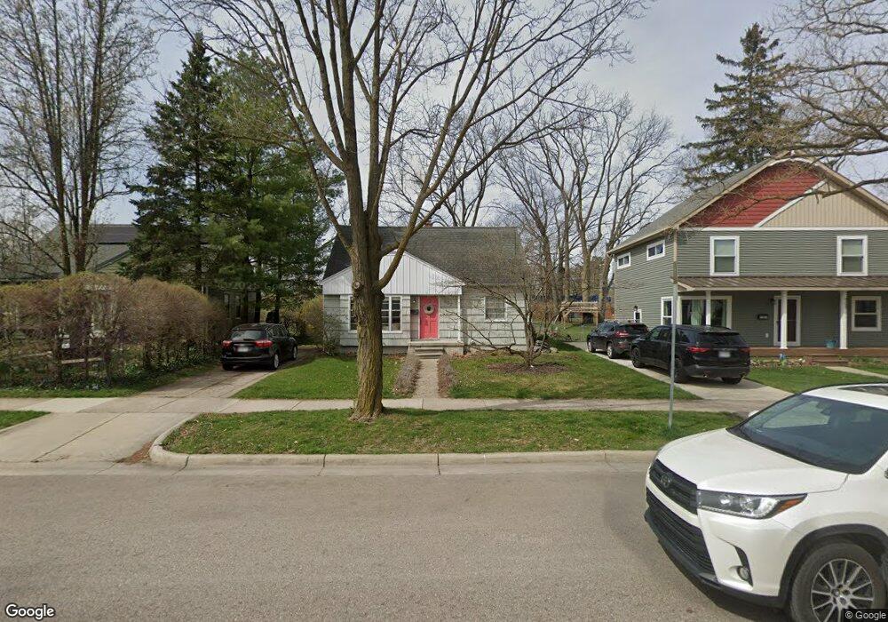
907 Duncan St Ann Arbor, MI 48103
Arborview NeighborhoodEstimated Value: $417,515 - $493,000
3
Beds
1
Bath
1,341
Sq Ft
$338/Sq Ft
Est. Value
About This Home
This home is located at 907 Duncan St, Ann Arbor, MI 48103 and is currently estimated at $453,129, approximately $337 per square foot. 907 Duncan St is a home located in Washtenaw County with nearby schools including Haisley Elementary School, Slauson Middle School, and Skyline High School.
Ownership History
Date
Name
Owned For
Owner Type
Purchase Details
Closed on
Feb 11, 2025
Sold by
Hyatt David A and Hyatt Heather
Bought by
Hyatt David A
Current Estimated Value
Purchase Details
Closed on
Apr 30, 2001
Sold by
Cauley Celeste M
Bought by
Hyatt David A
Create a Home Valuation Report for This Property
The Home Valuation Report is an in-depth analysis detailing your home's value as well as a comparison with similar homes in the area
Home Values in the Area
Average Home Value in this Area
Purchase History
| Date | Buyer | Sale Price | Title Company |
|---|---|---|---|
| Hyatt David A | -- | None Listed On Document | |
| Hyatt David A | $190,500 | -- |
Source: Public Records
Tax History
| Year | Tax Paid | Tax Assessment Tax Assessment Total Assessment is a certain percentage of the fair market value that is determined by local assessors to be the total taxable value of land and additions on the property. | Land | Improvement |
|---|---|---|---|---|
| 2025 | $5,251 | $189,000 | $0 | $0 |
| 2024 | $5,122 | $184,400 | $0 | $0 |
| 2023 | $4,723 | $182,200 | $0 | $0 |
| 2022 | $5,146 | $161,500 | $0 | $0 |
| 2021 | $5,025 | $155,700 | $0 | $0 |
| 2020 | $4,873 | $156,500 | $0 | $0 |
| 2019 | $4,638 | $139,200 | $139,200 | $0 |
| 2018 | $4,573 | $127,600 | $0 | $0 |
| 2017 | $4,448 | $125,100 | $0 | $0 |
| 2016 | $3,789 | $88,949 | $0 | $0 |
| 2015 | $4,087 | $88,683 | $0 | $0 |
| 2014 | $4,087 | $85,913 | $0 | $0 |
| 2013 | -- | $85,913 | $0 | $0 |
Source: Public Records
Map
Nearby Homes
- 1019 Hasper Dr
- 2344 S Circle Dr
- 1212 Wines Dr
- 1043 Pine Tree Dr
- 1610 Argyle Crescent
- 665 Vine Ct
- 916 Patricia Ave
- 2219 Dexter Ave
- 645 Allison Dr
- 520 Center Dr
- 1334 Miller Ave
- 1390 Patricia Ave Unit 17
- 1322 Miller Ave
- 115 Longman Ln
- 913 Pomona Rd
- 2107 Jackson Ave
- 1506 Dexter Ave
- 1106 Paul St
- 2374 Newport Rd
- 2071 Winewood Ave
Your Personal Tour Guide
Ask me questions while you tour the home.