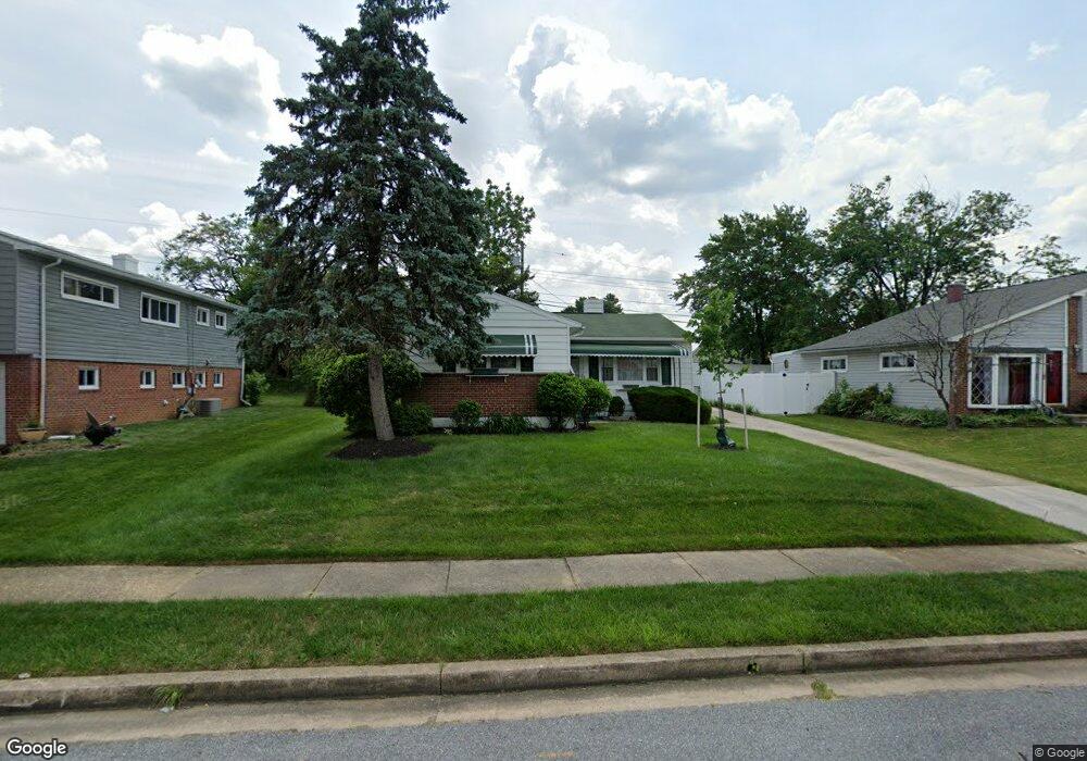
907 Marksworth Rd Catonsville, MD 21228
Estimated Value: $212,000 - $362,000
--
Bed
1
Bath
1,384
Sq Ft
$215/Sq Ft
Est. Value
About This Home
This home is located at 907 Marksworth Rd, Catonsville, MD 21228 and is currently estimated at $297,667, approximately $215 per square foot. 907 Marksworth Rd is a home located in Baltimore County with nearby schools including Johnnycake Elementary School, Southwest Academy, and Woodlawn High School.
Ownership History
Date
Name
Owned For
Owner Type
Purchase Details
Closed on
Jan 8, 2014
Sold by
Mcdonald Virginia
Bought by
Mcdonald Virginia and Mcdonald Rodney K
Current Estimated Value
Purchase Details
Closed on
Jan 26, 2002
Sold by
Lewis William Eric
Bought by
Mcdonald Clifton A and Mcdonald Virginia
Purchase Details
Closed on
Apr 10, 1991
Sold by
Liebno Harlean B
Bought by
Lewis William Eric
Create a Home Valuation Report for This Property
The Home Valuation Report is an in-depth analysis detailing your home's value as well as a comparison with similar homes in the area
Home Values in the Area
Average Home Value in this Area
Purchase History
| Date | Buyer | Sale Price | Title Company |
|---|---|---|---|
| Mcdonald Virginia | -- | Greenwood Title Inc | |
| Mcdonald Clifton A | $95,000 | -- | |
| Lewis William Eric | $85,000 | -- |
Source: Public Records
Tax History Compared to Growth
Tax History
| Year | Tax Paid | Tax Assessment Tax Assessment Total Assessment is a certain percentage of the fair market value that is determined by local assessors to be the total taxable value of land and additions on the property. | Land | Improvement |
|---|---|---|---|---|
| 2025 | $2,861 | $226,633 | -- | -- |
| 2024 | $2,861 | $213,200 | $76,600 | $136,600 |
| 2023 | $1,428 | $205,067 | $0 | $0 |
| 2022 | $2,646 | $196,933 | $0 | $0 |
| 2021 | $2,370 | $188,800 | $76,600 | $112,200 |
| 2020 | $2,370 | $177,367 | $0 | $0 |
| 2019 | $2,312 | $165,933 | $0 | $0 |
| 2018 | $2,260 | $154,500 | $63,100 | $91,400 |
| 2017 | $2,074 | $146,033 | $0 | $0 |
| 2016 | $1,774 | $137,567 | $0 | $0 |
| 2015 | $1,774 | $129,100 | $0 | $0 |
| 2014 | $1,774 | $129,100 | $0 | $0 |
Source: Public Records
Map
Nearby Homes
- 6028 Moorehead Rd
- 1007 Marksworth Rd
- 930 Sedgley Rd
- 1007 Kent Ave
- 908 Vanderwood Rd
- 920 Vanderwood Rd
- 3 Mcgrady Square
- 67 Walden Mill Way
- 1009 Rowe Ln
- 6001 Johnnycake Rd
- 6031 Burnt Oak Rd
- 6011 Johnnycake Rd
- 800 Crosby Rd
- 1068 Craftswood Rd
- 1109 Marksworth Rd
- 1113 Kent Ave
- 6200 Gilston Park Rd
- 1124 Brigadoon Trail
- 1124 Dorchester Ave
- 5911 Carroll St
- 909 Marksworth Rd
- 905 Marksworth Rd
- 906 Kent Ave
- 908 Kent Ave
- 903 Marksworth Rd
- 911 Marksworth Rd
- 904 Kent Ave
- 910 Kent Ave
- 900 Marksworth Rd
- 902 Marksworth Rd
- 902 Kent Ave
- 904 Marksworth Rd
- 901 Marksworth Rd
- 913 Marksworth Rd
- 6033 Moorehead Rd
- 912 Kent Ave
- 900 Kent Ave
- 6035 Moorehead Rd
- 909 Kent Ave
- 6000 Sherrill Rd