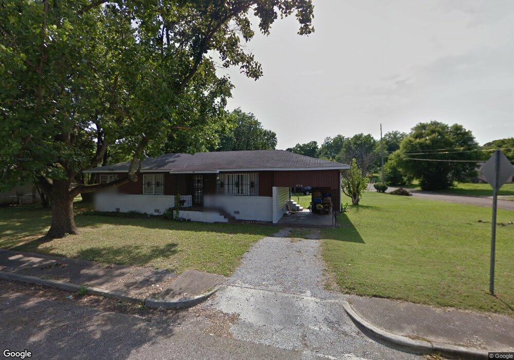
907 Mitchell Dr NW Huntsville, AL 35816
Research Park NeighborhoodEstimated Value: $84,000 - $130,000
--
Bed
--
Bath
1,110
Sq Ft
$99/Sq Ft
Est. Value
About This Home
This home is located at 907 Mitchell Dr NW, Huntsville, AL 35816 and is currently estimated at $110,129, approximately $99 per square foot. 907 Mitchell Dr NW is a home with nearby schools including Sonnie Hereford Elementary School, Huntsville Junior High School, and Huntsville High School.
Ownership History
Date
Name
Owned For
Owner Type
Purchase Details
Closed on
Sep 29, 2021
Sold by
Chew Felix
Bought by
Randle Eugene
Current Estimated Value
Home Financials for this Owner
Home Financials are based on the most recent Mortgage that was taken out on this home.
Original Mortgage
$65,000
Outstanding Balance
$59,274
Interest Rate
2.8%
Mortgage Type
New Conventional
Estimated Equity
$50,855
Purchase Details
Closed on
Jun 17, 2013
Sold by
Witt Thomas C
Bought by
Chew Felix
Create a Home Valuation Report for This Property
The Home Valuation Report is an in-depth analysis detailing your home's value as well as a comparison with similar homes in the area
Home Values in the Area
Average Home Value in this Area
Purchase History
| Date | Buyer | Sale Price | Title Company |
|---|---|---|---|
| Randle Eugene | $65,000 | None Available | |
| Chew Felix | $41,000 | None Available |
Source: Public Records
Mortgage History
| Date | Status | Borrower | Loan Amount |
|---|---|---|---|
| Open | Randle Eugene | $65,000 |
Source: Public Records
Tax History Compared to Growth
Tax History
| Year | Tax Paid | Tax Assessment Tax Assessment Total Assessment is a certain percentage of the fair market value that is determined by local assessors to be the total taxable value of land and additions on the property. | Land | Improvement |
|---|---|---|---|---|
| 2024 | $461 | $8,380 | $540 | $7,840 |
| 2023 | $438 | $7,820 | $540 | $7,280 |
| 2022 | $345 | $6,780 | $540 | $6,240 |
| 2021 | $655 | $11,300 | $1,080 | $10,220 |
| 2020 | $614 | $10,400 | $1,080 | $9,320 |
| 2019 | $572 | $9,860 | $1,080 | $8,780 |
| 2018 | $496 | $8,560 | $0 | $0 |
| 2017 | $496 | $8,560 | $0 | $0 |
| 2016 | $496 | $8,560 | $0 | $0 |
| 2015 | $496 | $8,560 | $0 | $0 |
| 2014 | $474 | $8,180 | $0 | $0 |
Source: Public Records
Map
Nearby Homes
- 2305 Stanley Dr NW
- 2304 Bell Ave NW
- 2306 Bell Ave NW
- 911 Lee Dr NW
- 816 Peachtree St NW
- 2509 Holmes Ave NW
- 2604 Holmes Ave NW
- 2712 Barbara Dr NW
- 1307 Pulaski Pike NW
- 2708 Wilson Dr NW
- 2810 Union Dr NW
- 2904 Wilson Dr NW
- 2915 Battle Dr NW
- 2218 Hall Ave NW
- 910 Parklane St NW
- 304 Lowry St NW
- 231 Bailes St NW
- 414 Stone St NW
- 701 10th St NW
- 256 Washington St NE Unit Plan A
- 1005 Magnolia Dr NW
- 2300 Stanley Dr NW
- 1007 Magnolia Dr NW
- 2302 Stanley Dr NW
- 2215 Bell Ave NW
- 2217 Bell Ave NW
- 2213 Bell Ave NW
- 2035 Stanley Dr NW
- 2219 Bell Ave NW
- 1009 Magnolia Dr NW
- 2306 Stanley Dr NW
- 2221 Bell Ave NW
- 2209 Bell Ave NW
- 2223 Bell Ave NW
- 2305 Stanley Ave NW
- 1011 Magnolia Dr NW
- 2308 Stanley Dr NW
- 2225 Bell Ave NW
- 2216 Bell Ave NW
- 914 Magnolia Dr NW