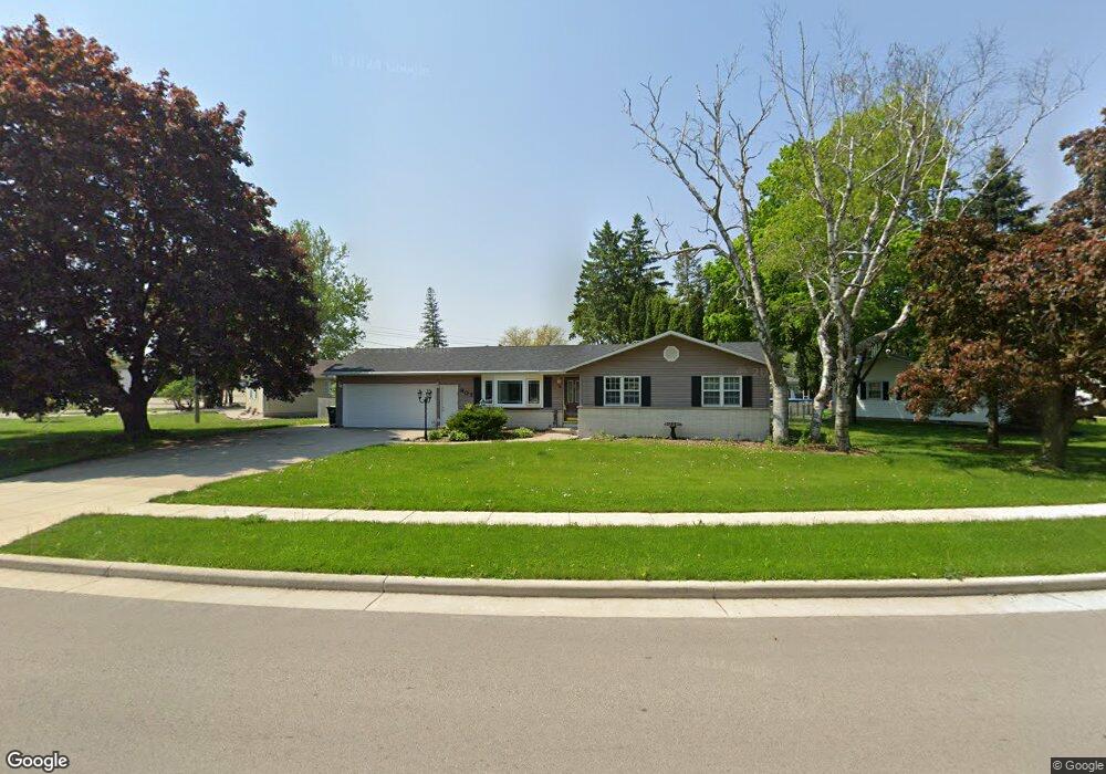
907 Newton Ave Waupun, WI 53963
Estimated Value: $224,029 - $275,000
--
Bed
--
Bath
--
Sq Ft
0.32
Acres
About This Home
This home is located at 907 Newton Ave, Waupun, WI 53963 and is currently estimated at $248,507. 907 Newton Ave is a home located in Fond du Lac County with nearby schools including Meadow View Primary School, Rock River Intermediate School, and Waupun Area Junior High School.
Ownership History
Date
Name
Owned For
Owner Type
Purchase Details
Closed on
May 2, 2019
Sold by
Fletcher James and Fletcher Mary
Bought by
Zepeda Jesse and Fletcher Stephanie
Current Estimated Value
Purchase Details
Closed on
May 22, 2017
Sold by
Larson John R and Larson Dorothy J
Bought by
Fletcher James and Fletcher Mary
Home Financials for this Owner
Home Financials are based on the most recent Mortgage that was taken out on this home.
Original Mortgage
$124,000
Interest Rate
4%
Mortgage Type
Adjustable Rate Mortgage/ARM
Create a Home Valuation Report for This Property
The Home Valuation Report is an in-depth analysis detailing your home's value as well as a comparison with similar homes in the area
Home Values in the Area
Average Home Value in this Area
Purchase History
| Date | Buyer | Sale Price | Title Company |
|---|---|---|---|
| Zepeda Jesse | $71,900 | None Available | |
| Fletcher James | $15,500 | Guaranty Title Services Inc |
Source: Public Records
Mortgage History
| Date | Status | Borrower | Loan Amount |
|---|---|---|---|
| Previous Owner | Fletcher James | $124,000 |
Source: Public Records
Tax History Compared to Growth
Tax History
| Year | Tax Paid | Tax Assessment Tax Assessment Total Assessment is a certain percentage of the fair market value that is determined by local assessors to be the total taxable value of land and additions on the property. | Land | Improvement |
|---|---|---|---|---|
| 2024 | $3,310 | $190,500 | $29,500 | $161,000 |
| 2023 | $3,135 | $190,500 | $29,500 | $161,000 |
| 2022 | $3,098 | $190,500 | $29,500 | $161,000 |
| 2021 | $2,993 | $144,600 | $27,000 | $117,600 |
| 2020 | $3,053 | $144,600 | $27,000 | $117,600 |
| 2019 | $3,155 | $144,600 | $27,000 | $117,600 |
| 2018 | $2,873 | $144,600 | $27,000 | $117,600 |
| 2017 | $2,365 | $111,600 | $25,300 | $86,300 |
| 2016 | $2,217 | $111,600 | $25,300 | $86,300 |
| 2015 | $2,383 | $111,600 | $25,300 | $86,300 |
| 2014 | $2,275 | $111,600 | $25,300 | $86,300 |
| 2013 | $2,351 | $111,600 | $25,300 | $86,300 |
Source: Public Records
Map
Nearby Homes
- 736 Fern St
- 181 Harmsen Ave
- 709 W Jefferson St
- 524 W Jefferson St
- 307 Elm Ave
- 231 Hillyer St
- 17.92 Ac Pattee Dr
- 25 Taylor St
- 227 S State St
- 10 S Forest St
- 258 S Drummond St
- 429 S Drummond St
- 315 E Main St
- 231 Woodland Dr
- 201 S Madison St
- 434 Jackson St
- 306 Rounsville St
- 595 Carrington St
- 516 E Lincoln St
- 618 Carrington St
- 904 Newton Ave
- 900 Newton Ave
- 908 Rock Ave
- 908 Newton Ave
- 911 Newton Ave
- 915 Newton Ave
- 901 Rock Ave
- 916 Newton Ave
- 812 Pioneer Ave
- 919 Newton Ave
- 806 Rock River Ave
- 916 Rock Ave
- 807 Rock River Ave
- 808 Pioneer Ave
- 920 Newton Ave
- 805 Sunset Ct
- 915 Rock Ave
- 803 Rock River Ave
- 920 Rock Ave
- 923 Newton Ave