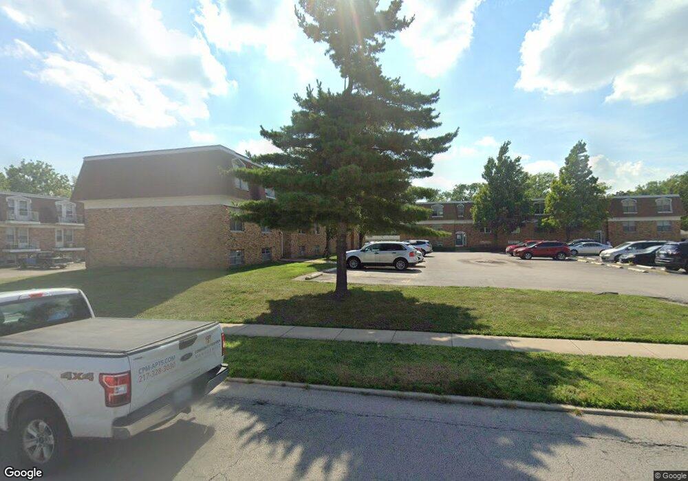
907 S Mattis Ave Champaign, IL 61821
Estimated Value: $278,000
Studio
--
Bath
--
Sq Ft
0.99
Acres
About This Home
This home is located at 907 S Mattis Ave, Champaign, IL 61821 and is currently priced at $278,000. 907 S Mattis Ave is a home located in Champaign County with nearby schools including Centennial High School, St John Lutheran School, and Swann Special Care Center-Elem/Secondary School.
Ownership History
Date
Name
Owned For
Owner Type
Purchase Details
Closed on
Sep 14, 2024
Sold by
Mattis Il Llc and Sol Mattis Ii Llc
Bought by
Maple Pine Llc
Current Estimated Value
Home Financials for this Owner
Home Financials are based on the most recent Mortgage that was taken out on this home.
Original Mortgage
$1,500,000
Outstanding Balance
$1,478,830
Interest Rate
6.49%
Purchase Details
Closed on
Apr 11, 2019
Sold by
Royse Holdings Llc
Bought by
Mattis Il Llc and Sol Mattis Ii Llc
Home Financials for this Owner
Home Financials are based on the most recent Mortgage that was taken out on this home.
Original Mortgage
$4,740,000
Interest Rate
4.4%
Mortgage Type
Commercial
Purchase Details
Closed on
Sep 1, 2005
Sold by
Royse Myers Llc
Bought by
Royse Properties Llc
Create a Home Valuation Report for This Property
The Home Valuation Report is an in-depth analysis detailing your home's value as well as a comparison with similar homes in the area
Purchase History
| Date | Buyer | Sale Price | Title Company |
|---|---|---|---|
| Maple Pine Llc | $6,500,000 | None Listed On Document | |
| Mattis Il Llc | $6,298,000 | Allied Capital Title | |
| Royse Properties Llc | -- | Allied Title Services |
Source: Public Records
Mortgage History
| Date | Status | Borrower | Loan Amount |
|---|---|---|---|
| Open | Maple Pine Llc | $1,500,000 | |
| Closed | Maple Pine Llc | $5,000,000 | |
| Previous Owner | Mattis Il Llc | $4,740,000 |
Source: Public Records
Tax History
| Year | Tax Paid | Tax Assessment Tax Assessment Total Assessment is a certain percentage of the fair market value that is determined by local assessors to be the total taxable value of land and additions on the property. | Land | Improvement |
|---|---|---|---|---|
| 2024 | $41,991 | $511,280 | $97,890 | $413,390 |
| 2023 | $41,991 | $465,640 | $89,150 | $376,490 |
| 2022 | $39,501 | $429,560 | $82,240 | $347,320 |
| 2021 | $36,372 | $397,310 | $76,070 | $321,240 |
| 2020 | $36,427 | $397,310 | $76,070 | $321,240 |
| 2019 | $35,257 | $389,140 | $74,510 | $314,630 |
| 2018 | $34,466 | $383,020 | $73,340 | $309,680 |
| 2017 | $34,610 | $383,020 | $73,340 | $309,680 |
| 2016 | $31,030 | $375,140 | $71,830 | $303,310 |
| 2015 | $31,268 | $368,510 | $70,560 | $297,950 |
| 2014 | $31,001 | $368,510 | $70,560 | $297,950 |
| 2013 | $30,722 | $368,510 | $70,560 | $297,950 |
Source: Public Records
Map
Nearby Homes
- 1709 W William St
- 1607 W William St
- 1104 Cambridge Dr
- 1203 Mayfair Rd
- 2016 Greendale Dr
- 1607 Chevy Chase Dr
- 1410 S Mattis Ave
- 11 Normandy Place
- 1902 Meadow Dr
- 1301 Belmeade Dr
- 1420 S Western Ave
- 1208 W William St
- 605 S James St
- 2203 W Kirby Ave
- 1212 W Healey St
- 1211 W Springfield Ave
- 1601 Carolyn Dr
- 505 S James St
- 1608 Carolyn Dr
- 1710 Crescent Dr
- 906 Holiday Dr
- 904 Holiday Dr
- 908 Holiday Dr
- 901 S Mattis Ave
- 902 Holiday Dr
- 910 Holiday Dr
- 1806 W William St
- 814 Holiday Dr
- 903 Holiday Dr
- 907 Holiday Dr
- 916 Holiday Dr
- 901 Holiday Dr
- 812 Holiday Dr
- 909 Holiday Dr
- 807 Holiday Dr
- 1805 W William St
- 900 S Mattis Ave Unit D
- 900 S Mattis Ave Unit 1
- 900 S Mattis Ave
- 911 Holiday Dr
Your Personal Tour Guide
Ask me questions while you tour the home.