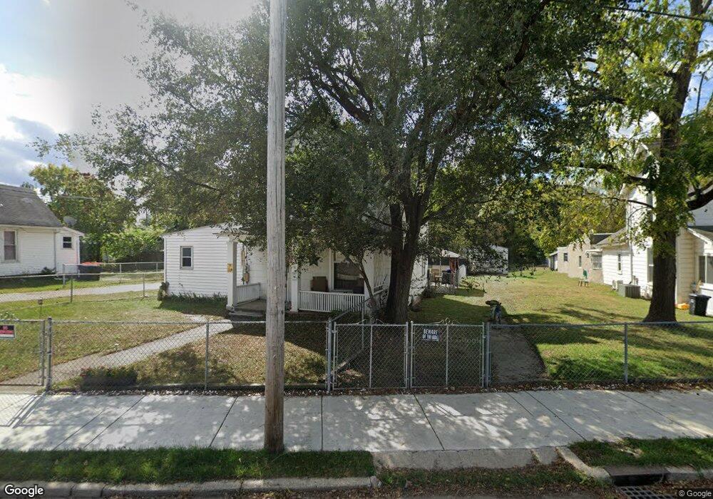
907 Sherman Ave Springfield, OH 45503
Estimated Value: $48,000 - $90,000
3
Beds
1
Bath
1,396
Sq Ft
$48/Sq Ft
Est. Value
About This Home
This home is located at 907 Sherman Ave, Springfield, OH 45503 and is currently estimated at $66,814, approximately $47 per square foot. 907 Sherman Ave is a home located in Clark County with nearby schools including Lagonda Elementary School, Schaefer Middle School, and Springfield High School.
Ownership History
Date
Name
Owned For
Owner Type
Purchase Details
Closed on
Jun 24, 2006
Sold by
Gross Linda
Bought by
Walden Lolita and Spencer Steven
Current Estimated Value
Purchase Details
Closed on
Sep 21, 2000
Sold by
J & B Auto Wrecking Inc
Bought by
Benkert Karen S
Purchase Details
Closed on
Dec 30, 1994
Sold by
Stephens Mary E
Bought by
J & B Autu Wrecking Inc
Home Financials for this Owner
Home Financials are based on the most recent Mortgage that was taken out on this home.
Original Mortgage
$28,269
Interest Rate
9.24%
Mortgage Type
Purchase Money Mortgage
Create a Home Valuation Report for This Property
The Home Valuation Report is an in-depth analysis detailing your home's value as well as a comparison with similar homes in the area
Home Values in the Area
Average Home Value in this Area
Purchase History
| Date | Buyer | Sale Price | Title Company |
|---|---|---|---|
| Walden Lolita | $1,000 | None Available | |
| Benkert Karen S | -- | -- | |
| J & B Autu Wrecking Inc | $27,000 | -- |
Source: Public Records
Mortgage History
| Date | Status | Borrower | Loan Amount |
|---|---|---|---|
| Previous Owner | J & B Autu Wrecking Inc | $28,269 |
Source: Public Records
Tax History
| Year | Tax Paid | Tax Assessment Tax Assessment Total Assessment is a certain percentage of the fair market value that is determined by local assessors to be the total taxable value of land and additions on the property. | Land | Improvement |
|---|---|---|---|---|
| 2025 | $89 | $15,070 | $3,720 | $11,350 |
| 2024 | $79 | $11,610 | $3,330 | $8,280 |
| 2023 | $79 | $11,610 | $3,330 | $8,280 |
| 2022 | $93 | $11,610 | $3,330 | $8,280 |
| 2021 | $22 | $9,400 | $2,660 | $6,740 |
| 2020 | $23 | $9,400 | $2,660 | $6,740 |
| 2019 | $162 | $11,950 | $2,660 | $9,290 |
| 2018 | $69 | $9,980 | $2,660 | $7,320 |
| 2017 | $69 | $9,975 | $2,660 | $7,315 |
| 2016 | $69 | $9,975 | $2,660 | $7,315 |
| 2015 | $111 | $10,696 | $2,660 | $8,036 |
| 2014 | $111 | $10,696 | $2,660 | $8,036 |
| 2013 | $110 | $10,696 | $2,660 | $8,036 |
Source: Public Records
Map
Nearby Homes
- 1037 Middle St
- 1105 Farlow St
- 1223 Lagonda Ave
- 802 Warder St
- 726 E Madison Ave
- 836-838 Rodgers Dr
- 803 Laurel St
- 0 Mitchell Blvd
- 1015 Rodgers Dr
- 1654 Catawba Ave
- 1143 Cedarview Dr Unit 1145
- 913 Mitchell Blvd Unit 915
- 1621 Morgan St
- 412 E Madison Ave
- 876 E McCreight Ave Unit 2
- 876 E McCreight Ave Unit 878
- 464 E Cassilly St
- 469 E Cecil St Unit 471
- 469-471 E Cecil St
- 1682 Edwards Ave
- 915 Sherman Ave
- 905 Sherman Ave
- 921 Sherman Ave
- 901 Sherman Ave
- 906 Sherman Ave
- 875 Sherman Ave
- 910 Sherman Ave
- 867 Sherman Ave
- 929 Sherman Ave Unit 931
- 920 Sherman Ave Unit 922
- 865 Sherman Ave
- 926 Sherman Ave
- 935 Sherman Ave
- 863 Sherman Ave
- 1126 Lagonda Ave
- 930 Sherman Ave
- 1132 Lagonda Ave
- 861 Sherman Ave
- 1134 Lagonda Ave
- 1138 Lagonda Ave
Your Personal Tour Guide
Ask me questions while you tour the home.