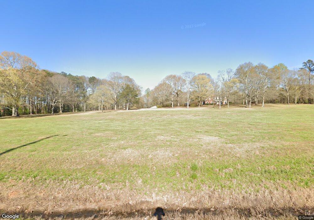
9070 Highway 82 Spur Maysville, GA 30558
Estimated Value: $782,000 - $893,000
--
Bed
1
Bath
3,729
Sq Ft
$227/Sq Ft
Est. Value
About This Home
This home is located at 9070 Highway 82 Spur, Maysville, GA 30558 and is currently estimated at $847,041, approximately $227 per square foot. 9070 Highway 82 Spur is a home with nearby schools including Maysville Elementary School, East Jackson Middle School, and East Jackson Comprehensive High School.
Ownership History
Date
Name
Owned For
Owner Type
Purchase Details
Closed on
Nov 19, 2024
Sold by
Meadows Sophia Deanne Short
Bought by
Short Jean H
Current Estimated Value
Purchase Details
Closed on
Jun 25, 2015
Sold by
Hayes Jeremy D
Bought by
Short James
Home Financials for this Owner
Home Financials are based on the most recent Mortgage that was taken out on this home.
Original Mortgage
$325,774
Interest Rate
3.93%
Mortgage Type
New Conventional
Purchase Details
Closed on
Dec 7, 1999
Sold by
Short James
Bought by
Hayes Jeremy D
Create a Home Valuation Report for This Property
The Home Valuation Report is an in-depth analysis detailing your home's value as well as a comparison with similar homes in the area
Home Values in the Area
Average Home Value in this Area
Purchase History
| Date | Buyer | Sale Price | Title Company |
|---|---|---|---|
| Short Jean H | -- | -- | |
| Short James | $327,470 | -- | |
| Hayes Jeremy D | -- | -- |
Source: Public Records
Mortgage History
| Date | Status | Borrower | Loan Amount |
|---|---|---|---|
| Previous Owner | Short James | $325,774 |
Source: Public Records
Tax History Compared to Growth
Tax History
| Year | Tax Paid | Tax Assessment Tax Assessment Total Assessment is a certain percentage of the fair market value that is determined by local assessors to be the total taxable value of land and additions on the property. | Land | Improvement |
|---|---|---|---|---|
| 2024 | $5,200 | $270,280 | $68,600 | $201,680 |
| 2023 | $5,200 | $245,840 | $68,600 | $177,240 |
| 2022 | $5,784 | $197,560 | $33,600 | $163,960 |
| 2021 | $5,744 | $197,560 | $33,600 | $163,960 |
| 2020 | $5,405 | $169,760 | $33,600 | $136,160 |
| 2019 | $5,487 | $169,760 | $33,600 | $136,160 |
| 2018 | $5,566 | $169,840 | $33,600 | $136,240 |
| 2017 | $5,490 | $166,139 | $33,606 | $132,533 |
| 2016 | $4,353 | $166,139 | $33,606 | $132,533 |
| 2015 | $5,485 | $166,139 | $33,606 | $132,533 |
| 2014 | $4,761 | $143,378 | $33,606 | $109,772 |
| 2013 | -- | $139,899 | $32,597 | $107,302 |
Source: Public Records
Map
Nearby Homes
- 37 Meeks Rd
- 241 Sims St
- 362 Sims St
- 129 Crane St
- 16 Cora Way
- 127 Brevard St
- 382 Freeman Dr
- 82 Maywood Ct
- 108 Lillie Ln
- 942 Eagle Heights Dr
- 941 Eagle Heights Dr
- 111 Park St
- 936 Eagle Heights Dr
- 939 Eagle Heights Dr
- 500 W Freeman St
- 393 W Freeman St
- 0 Hunters Glen Unit 7657277
- 0 Hunters Glen Unit 10614427
- 9081 Highway 82 Spur
- 8373 Maysville Rd
- 0 Highway 82 Spur
- 9270 Highway 82 Spur
- 8293 Maysville Rd
- 389 Chandler Cemetery Rd
- 8325 Maysville Rd
- 8482 Maysville Rd
- 8287 Maysville Rd
- 99 Chandler Cemetery Rd
- 168 Chandler Cemetery Rd
- 140 Chandler Cemetery Rd
- 8308 Maysville Rd
- 8595 Maysville Rd
- 8430 Maysville Rd
- 15 Sims St
- 8847 Maysville Rd
- 8633 Maysville Rd
- 47 Sims St
- 50 Sims St
