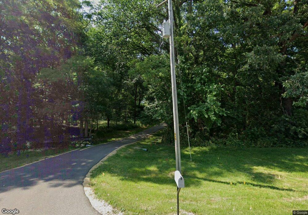
9071 Burns Rd Fenton, IL 61251
Estimated Value: $345,000 - $383,862
2
Beds
4
Baths
1,400
Sq Ft
$262/Sq Ft
Est. Value
About This Home
This home is located at 9071 Burns Rd, Fenton, IL 61251 and is currently estimated at $367,287, approximately $262 per square foot. 9071 Burns Rd is a home located in Whiteside County with nearby schools including Erie Elementary School, Erie Middle School, and Erie High School.
Ownership History
Date
Name
Owned For
Owner Type
Purchase Details
Closed on
Mar 24, 2020
Sold by
Saad Melvin T and Saad Marlene J
Bought by
Franks David T and Franks Carol A
Current Estimated Value
Purchase Details
Closed on
May 7, 2009
Sold by
Watson William H and Watson Elizabeth C
Bought by
Franks David T and Franks Carol A
Home Financials for this Owner
Home Financials are based on the most recent Mortgage that was taken out on this home.
Original Mortgage
$220,000
Interest Rate
5%
Mortgage Type
Unknown
Create a Home Valuation Report for This Property
The Home Valuation Report is an in-depth analysis detailing your home's value as well as a comparison with similar homes in the area
Home Values in the Area
Average Home Value in this Area
Purchase History
| Date | Buyer | Sale Price | Title Company |
|---|---|---|---|
| Franks David T | $28,000 | None Available | |
| Franks David T | $220,000 | None Available |
Source: Public Records
Mortgage History
| Date | Status | Borrower | Loan Amount |
|---|---|---|---|
| Previous Owner | Franks David T | $220,000 |
Source: Public Records
Tax History Compared to Growth
Tax History
| Year | Tax Paid | Tax Assessment Tax Assessment Total Assessment is a certain percentage of the fair market value that is determined by local assessors to be the total taxable value of land and additions on the property. | Land | Improvement |
|---|---|---|---|---|
| 2024 | $4,664 | $84,107 | $18,714 | $65,393 |
| 2023 | $4,447 | $79,896 | $17,777 | $62,119 |
| 2022 | $4,253 | $75,673 | $16,837 | $58,836 |
| 2021 | $4,150 | $72,987 | $16,239 | $56,748 |
| 2020 | $4,201 | $68,137 | $13,692 | $54,445 |
| 2019 | $4,118 | $66,709 | $13,405 | $53,304 |
| 2018 | $4,118 | $65,440 | $13,150 | $52,290 |
| 2017 | $4,023 | $64,245 | $12,910 | $51,335 |
| 2016 | $3,968 | $62,574 | $12,574 | $50,000 |
| 2015 | $412 | $66,083 | $13,069 | $53,014 |
| 2014 | $4,040 | $63,743 | $12,606 | $51,137 |
| 2013 | $412 | $66,083 | $13,069 | $53,014 |
Source: Public Records
Map
Nearby Homes
- 9304 Ellis Rd
- 8450 Star Rd
- 6753 Ellis Rd
- 1005 8th St
- 828 Main St
- 904 5th St
- 12465 Frog Pond Rd
- 000 Banks Rd
- 5515 Bunker Hill Rd
- 13240 Vandamme Rd
- 0 Illinois 78
- 5460 Moline Rd
- 5630 Moline Rd
- Lot 126 Chippewa Trail
- Lot 127 Chippewa Trail
- 111 Birch St
- 0 10th Ave S Unit MRD12453347
- 705 W Commercial St
- 507 Emery St
- 8039 Hazel Rd
- 9087 Burns Rd
- 9046 Burns Rd
- 8889 Burns Rd
- 9177 Burns Rd
- 9177 Burns Rd
- 8780 Burns Rd
- 8698 Burns Rd
- 9308 Burns Rd
- 9015 Ellis Rd
- Lot 21 Burns Rd
- 8684 Burns Rd
- 0 Burns Rd Unit 4165894
- 0 Burns Rd Unit 8896520
- 0 Burns Rd Unit 8896554
- 0 Burns Rd Unit 9208788
- 0 Burns Rd Unit MRD12200065
- 9171 Ellis Rd
- 8540 Quail Hollow Ct
- 9668 Burns Rd
- Lot 24 Quail Hollow Ct
