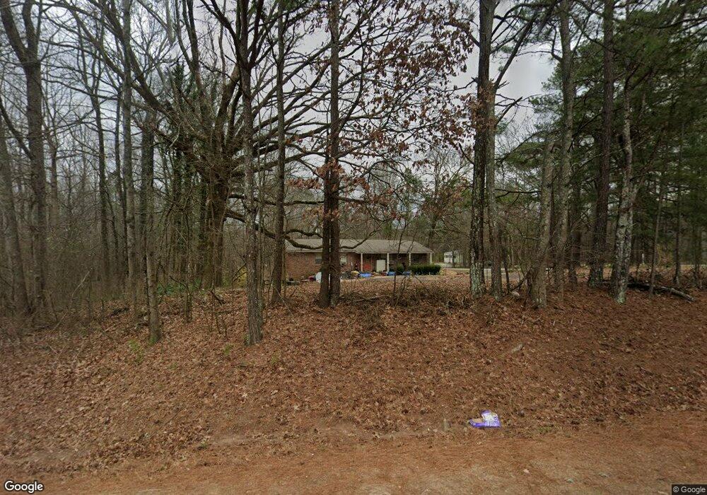
9071 U S Highway 78 Bremen, GA 30110
Estimated Value: $207,468 - $297,000
3
Beds
2
Baths
1,044
Sq Ft
$236/Sq Ft
Est. Value
About This Home
This home is located at 9071 U S Highway 78, Bremen, GA 30110 and is currently estimated at $246,617, approximately $236 per square foot. 9071 U S Highway 78 is a home located in Haralson County with nearby schools including Haralson County High School.
Ownership History
Date
Name
Owned For
Owner Type
Purchase Details
Closed on
May 6, 2025
Sold by
Rasheed Amin
Bought by
Dobbs Tamir Rasheed and Rasheed Wakeelah
Current Estimated Value
Purchase Details
Closed on
Oct 24, 1996
Sold by
Jackson Kathryn
Bought by
Rasheed Amin
Purchase Details
Closed on
Apr 16, 1993
Bought by
Jackson Kathryn
Create a Home Valuation Report for This Property
The Home Valuation Report is an in-depth analysis detailing your home's value as well as a comparison with similar homes in the area
Home Values in the Area
Average Home Value in this Area
Purchase History
| Date | Buyer | Sale Price | Title Company |
|---|---|---|---|
| Dobbs Tamir Rasheed | -- | -- | |
| Rasheed Amin | -- | -- | |
| Jackson Kathryn | -- | -- |
Source: Public Records
Tax History Compared to Growth
Tax History
| Year | Tax Paid | Tax Assessment Tax Assessment Total Assessment is a certain percentage of the fair market value that is determined by local assessors to be the total taxable value of land and additions on the property. | Land | Improvement |
|---|---|---|---|---|
| 2024 | $1,024 | $39,497 | $5,231 | $34,266 |
| 2023 | $1,111 | $41,427 | $4,348 | $37,079 |
| 2022 | $899 | $33,533 | $4,348 | $29,185 |
| 2021 | $940 | $33,655 | $4,166 | $29,489 |
| 2020 | $862 | $30,718 | $4,166 | $26,552 |
| 2019 | $867 | $29,754 | $4,166 | $25,588 |
| 2018 | $627 | $21,205 | $3,796 | $17,409 |
| 2017 | $592 | $18,204 | $3,796 | $14,408 |
| 2016 | $512 | $16,696 | $4,592 | $12,104 |
| 2015 | $502 | $16,378 | $4,592 | $11,786 |
| 2014 | -- | $16,528 | $4,592 | $11,936 |
Source: Public Records
Map
Nearby Homes
- 256 Mangham Rd
- 162 Centerpoint Rd
- 43 Old Field Rd
- 9385 U S 78
- 71 Old Field Rd
- 0 Helton Rd Unit 10648273
- 0 Helton Rd Unit 7685463
- 89 Autumn Dr
- 90 Defnall Rd
- 331 Mountain View Cir
- 16 Liberty Station Dr
- 92 Liberty Station Dr
- 64 Liberty Station Dr
- 1109 Liberty Church Rd
- 128 Pollard Rd
- 26 Liberty Station Dr
- 38 Liberty Station Dr
- 9071 U S Highway 78
- 9071 U S Highway 78
- 38 Centerpoint Rd
- 9043 U S Highway 78
- 37 Centerpoint Rd
- 39 Centerpoint Rd
- 9153 U S 78
- 9110 Us Highway 78
- 9110 U S 78
- 9110 U S Highway 78
- 9110 U S Highway 78
- 61 Centerpoint Rd
- 85 Center Point Rd
- 24 Simpson Rd
- 10 Simpson Rd
- 106 Center Point Rd
- 106 Centerpoint Rd
- 9041 Us Highway 78
- 155 Centerpoint Rd
- 9191 Us Highway 78