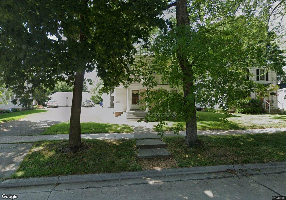
908 4th St de Pere, WI 54115
Estimated Value: $285,000 - $339,000
4
Beds
1
Bath
576
Sq Ft
$548/Sq Ft
Est. Value
About This Home
This home is located at 908 4th St, de Pere, WI 54115 and is currently estimated at $315,521, approximately $547 per square foot. 908 4th St is a home located in Brown County with nearby schools including Westwood Elementary School, West De Pere Middle School, and West De Pere High School.
Ownership History
Date
Name
Owned For
Owner Type
Purchase Details
Closed on
Jul 9, 2025
Sold by
Stoychoff Tod W and Schmidt Marlene K
Bought by
Stoychoff Tod and Schmidt Marlene
Current Estimated Value
Purchase Details
Closed on
Jan 3, 2008
Sold by
Schmidt Marlene K and Reimer Marlene K
Bought by
Schmidt Marlene K
Home Financials for this Owner
Home Financials are based on the most recent Mortgage that was taken out on this home.
Original Mortgage
$144,306
Interest Rate
5.95%
Mortgage Type
New Conventional
Create a Home Valuation Report for This Property
The Home Valuation Report is an in-depth analysis detailing your home's value as well as a comparison with similar homes in the area
Home Values in the Area
Average Home Value in this Area
Purchase History
| Date | Buyer | Sale Price | Title Company |
|---|---|---|---|
| Stoychoff Tod | -- | Liberty Title & Abstract Inc | |
| Stoychoff Tod W | -- | Liberty Title & Abstract Inc | |
| Schmidt Marlene K | -- | Chicago Title |
Source: Public Records
Mortgage History
| Date | Status | Borrower | Loan Amount |
|---|---|---|---|
| Previous Owner | Schmidt Marlene K | $144,306 |
Source: Public Records
Tax History
| Year | Tax Paid | Tax Assessment Tax Assessment Total Assessment is a certain percentage of the fair market value that is determined by local assessors to be the total taxable value of land and additions on the property. | Land | Improvement |
|---|---|---|---|---|
| 2024 | $3,904 | $273,900 | $20,300 | $253,600 |
| 2023 | $3,377 | $231,600 | $20,300 | $211,300 |
| 2022 | $3,401 | $208,500 | $20,300 | $188,200 |
| 2021 | $3,360 | $189,500 | $17,000 | $172,500 |
| 2020 | $3,482 | $180,900 | $17,000 | $163,900 |
| 2019 | $3,060 | $161,700 | $17,000 | $144,700 |
Source: Public Records
Map
Nearby Homes
- 1109 S 6th St
- 555 Main Ave Unit 111
- 555 Main Ave Unit 206
- 555 Main Ave Unit 113
- 978 Saint Anthony Dr Unit 2
- 1006 Westwood Dr
- 1410 S 7th St
- 1509 S 7th St
- 632 Suburban Dr
- 826 Virginia Dr
- 801 S Erie St
- 363 Battery Ave
- 389 Willie Mays Cir
- 399 Battery Ave
- 400 Battery Ave
- 412 Fort Howard Ave
- 1004 Gulfstream Ct
- 2080 Greenleaf Rd
- 119 S Ontario St
- 318 S Webster Ave
Your Personal Tour Guide
Ask me questions while you tour the home.