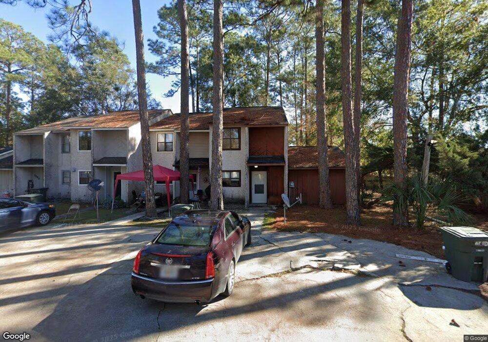
908 Brett Dr Unit D Hinesville, GA 31313
Estimated Value: $98,000 - $137,000
3
Beds
2
Baths
1,373
Sq Ft
$86/Sq Ft
Est. Value
About This Home
This home is located at 908 Brett Dr Unit D, Hinesville, GA 31313 and is currently estimated at $118,101, approximately $86 per square foot. 908 Brett Dr Unit D is a home located in Liberty County with nearby schools including Frank Long Elementary School, Snelson-Golden Middle School, and Bradwell Institute.
Ownership History
Date
Name
Owned For
Owner Type
Purchase Details
Closed on
Aug 21, 2015
Sold by
Blue Rosetta
Bought by
Hallman John
Current Estimated Value
Purchase Details
Closed on
Feb 14, 1992
Bought by
Blue Robert and Blue Rosett
Purchase Details
Closed on
Jun 4, 1991
Bought by
Secretary Of V A
Purchase Details
Closed on
Feb 22, 1985
Bought by
Fleet Real Estate Mortgage Corp
Create a Home Valuation Report for This Property
The Home Valuation Report is an in-depth analysis detailing your home's value as well as a comparison with similar homes in the area
Home Values in the Area
Average Home Value in this Area
Purchase History
| Date | Buyer | Sale Price | Title Company |
|---|---|---|---|
| Hallman John | $88,500 | -- | |
| Blue Robert | $44,300 | -- | |
| Secretary Of V A | -- | -- | |
| Fleet Funding | $42,400 | -- | |
| Fleet Real Estate Mortgage Corp | -- | -- |
Source: Public Records
Tax History Compared to Growth
Tax History
| Year | Tax Paid | Tax Assessment Tax Assessment Total Assessment is a certain percentage of the fair market value that is determined by local assessors to be the total taxable value of land and additions on the property. | Land | Improvement |
|---|---|---|---|---|
| 2024 | $1,931 | $39,086 | $2,000 | $37,086 |
| 2023 | $1,931 | $23,623 | $2,000 | $21,623 |
| 2022 | $930 | $19,648 | $2,000 | $17,648 |
| 2021 | $868 | $17,989 | $2,000 | $15,989 |
| 2020 | $887 | $18,224 | $2,000 | $16,224 |
| 2019 | $892 | $18,459 | $2,000 | $16,459 |
| 2018 | $793 | $16,468 | $2,000 | $14,468 |
| 2017 | $508 | $15,431 | $2,000 | $13,431 |
| 2016 | $530 | $21,007 | $1,820 | $19,187 |
| 2015 | $1,017 | $21,007 | $1,820 | $19,187 |
| 2014 | $1,017 | $22,057 | $1,820 | $20,237 |
| 2013 | -- | $22,938 | $1,820 | $21,118 |
Source: Public Records
Map
Nearby Homes
- 910 Brett Dr
- 1021 Bacon Rd
- 130 Pointe Dr S
- 920 Greenbriar Rd
- 927 Charles C Frasier Blvd
- 1015 White Cir
- 940 Fox Haven Ct
- 648 Honey Ridge Ln
- 649 Honey Ridge Ln
- 985 Pineland Ave
- 700 Kadi Ln
- 234 Deerwood Dr
- 936 Pineland Ave
- 992 Pineland Ave
- 929 Pineland Ave
- 679 Mcdowell Rd
- 661 Mahoney Rd
- 214 Whitetail Cir
- 14.27+/- Oglethorpe Hwy
- 0 U S 84
- 908 Brett Dr
- 908 Brett Dr Unit A
- 908 Brett Dr Unit B
- 908 Brett Dr
- 904 Brett Dr Unit D
- 904 Brett Dr Unit A
- 904 Brett Dr Unit B
- 904 Brett Dr
- 904 Brett Dr Unit 3B
- 904 Brett Dr Unit C
- 904 Brett Dr
- 904 Brett Dr
- 907 Brett Dr Unit C
- 907 Brett Dr Unit A
- 907 Brett Dr Unit E
- 907 Brett Dr Unit 907 B
- 907 Brett Dr Unit A
- 907 Brett Dr Unit B
- 907 Brett Dr
- 907 Brett Dr Unit C