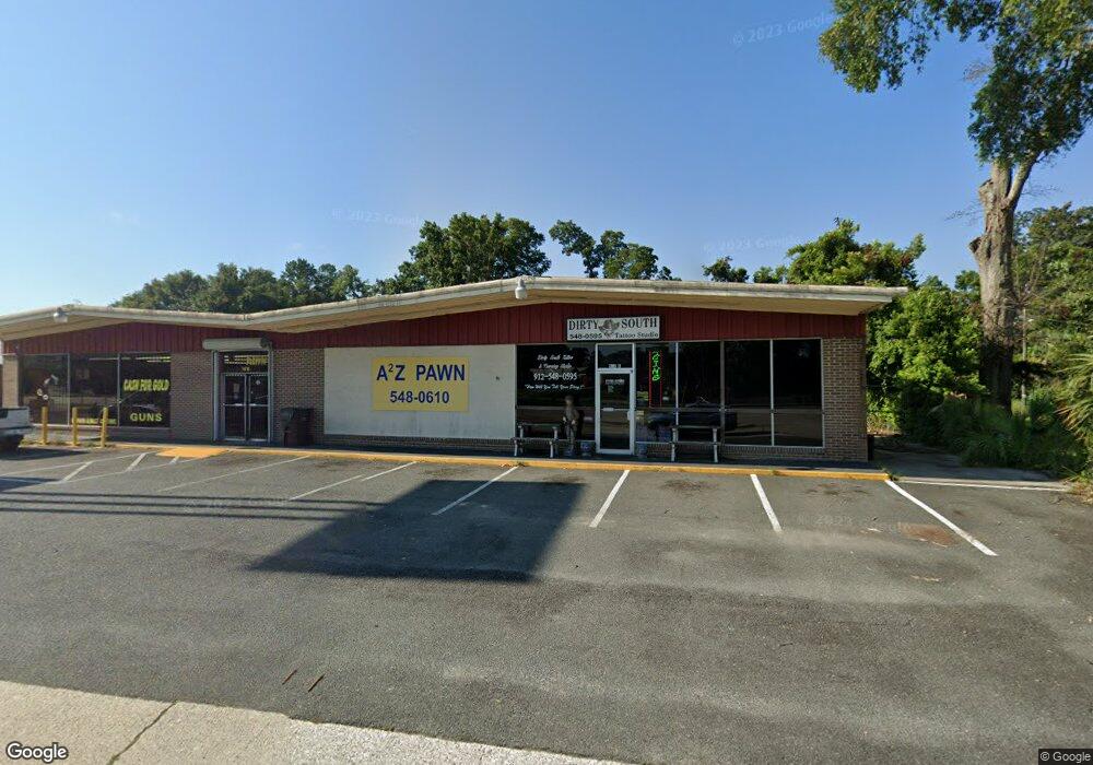
908 Memorial Dr Waycross, GA 31501
Estimated Value: $656,009
--
Bed
--
Bath
6,570
Sq Ft
$100/Sq Ft
Est. Value
About This Home
This home is located at 908 Memorial Dr, Waycross, GA 31501 and is currently estimated at $656,009, approximately $99 per square foot. 908 Memorial Dr is a home located in Ware County with nearby schools including Williams Heights Elementary School, Waycross Middle School, and Ware County High School.
Ownership History
Date
Name
Owned For
Owner Type
Purchase Details
Closed on
Apr 23, 2010
Sold by
Blount Toni M
Bought by
One Common Drive Llc
Current Estimated Value
Home Financials for this Owner
Home Financials are based on the most recent Mortgage that was taken out on this home.
Original Mortgage
$166,350
Interest Rate
4.99%
Mortgage Type
Future Advance Clause Open End Mortgage
Purchase Details
Closed on
Jul 26, 2001
Sold by
Tibor William F
Bought by
Blount Toni M
Purchase Details
Closed on
Apr 4, 1984
Create a Home Valuation Report for This Property
The Home Valuation Report is an in-depth analysis detailing your home's value as well as a comparison with similar homes in the area
Home Values in the Area
Average Home Value in this Area
Purchase History
| Date | Buyer | Sale Price | Title Company |
|---|---|---|---|
| One Common Drive Llc | $205,000 | -- | |
| Blount Toni M | $90,000 | -- | |
| -- | $140,000 | -- |
Source: Public Records
Mortgage History
| Date | Status | Borrower | Loan Amount |
|---|---|---|---|
| Closed | One Common Drive Llc | $166,350 |
Source: Public Records
Tax History Compared to Growth
Tax History
| Year | Tax Paid | Tax Assessment Tax Assessment Total Assessment is a certain percentage of the fair market value that is determined by local assessors to be the total taxable value of land and additions on the property. | Land | Improvement |
|---|---|---|---|---|
| 2024 | $4,332 | $108,564 | $10,978 | $97,586 |
| 2023 | $3,202 | $80,358 | $10,978 | $69,380 |
| 2022 | $3,202 | $80,358 | $10,978 | $69,380 |
| 2021 | $3,406 | $78,758 | $10,978 | $67,780 |
| 2020 | $3,433 | $78,758 | $10,978 | $67,780 |
| 2019 | $3,344 | $75,638 | $10,978 | $64,660 |
| 2018 | $3,376 | $75,638 | $10,978 | $64,660 |
| 2017 | $3,298 | $75,638 | $10,978 | $64,660 |
Source: Public Records
Map
Nearby Homes
- 502 Dewey St
- 415 Dewey St
- 612 Saint Marys Dr
- 612 St Mary's Dr
- 418 Reed St
- 306 Lee Ave
- 808 Satilla Blvd
- 1004 Hill St
- 807 College St
- 101 Forrest Ave
- 1101 Cherokee Dr
- 0 Marion St
- 615 Morton Ave
- 713 Magnolia Dr
- 801 Kennedy L Sanders Way
- 708 Homer St
- 310 Butler St
- 1405 Grove Ave
- 301 Riverside Dr
- 805 Brunel St
- 910 Memorial Dr
- 902 Highsmith St
- 900 Highsmith St
- 904 Highsmith St
- 914 Memorial Dr
- 900 Memorial Dr
- 915 Highsmith St
- 906 Highsmith St
- 1009 Reed St
- 203 Samuel St
- 1011 Reed St
- 1013 Reed St
- 816 Memorial Dr
- 205 Samuel St
- 202 Samuel St
- 1015 Reed St
- Par 102A Reed St
- Par 103 Reed St
- 922 Highsmith St
- 201 Laurel St