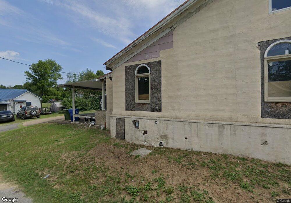
908 Pearl St Darlington, SC 29532
Estimated Value: $11,785
2
Beds
1
Bath
1,140
Sq Ft
$10/Sq Ft
Est. Value
About This Home
This home is located at 908 Pearl St, Darlington, SC 29532 and is currently estimated at $11,785, approximately $10 per square foot. 908 Pearl St is a home located in Darlington County with nearby schools including St. Johns Elementary School, Darlington Middle School, and Darlington High School.
Ownership History
Date
Name
Owned For
Owner Type
Purchase Details
Closed on
Aug 3, 2021
Sold by
Adams Jennifer M
Bought by
Morrison James William and Morrison Janice Cecile
Current Estimated Value
Purchase Details
Closed on
Sep 6, 2018
Sold by
Bulloch Michael Hunter
Bought by
Williams James
Purchase Details
Closed on
Apr 5, 2018
Sold by
Gates Benjamin I
Bought by
Bulloch Michael Hunter
Purchase Details
Closed on
Jan 3, 2011
Sold by
Smith Jack
Bought by
First Reliance Bank
Purchase Details
Closed on
Sep 21, 2010
Sold by
First Reliance Bank
Bought by
Gates Benjamin I
Purchase Details
Closed on
Apr 27, 2010
Sold by
Mitchell Alice Lanette
Bought by
First Reliance Bank
Create a Home Valuation Report for This Property
The Home Valuation Report is an in-depth analysis detailing your home's value as well as a comparison with similar homes in the area
Home Values in the Area
Average Home Value in this Area
Purchase History
| Date | Buyer | Sale Price | Title Company |
|---|---|---|---|
| Morrison James William | -- | None Listed On Document | |
| Williams James | $7,000 | None Available | |
| Bulloch Michael Hunter | $1,100 | None Available | |
| First Reliance Bank | $4,500 | -- | |
| Gates Benjamin I | $4,000 | -- | |
| First Reliance Bank | $2,500 | -- |
Source: Public Records
Tax History Compared to Growth
Tax History
| Year | Tax Paid | Tax Assessment Tax Assessment Total Assessment is a certain percentage of the fair market value that is determined by local assessors to be the total taxable value of land and additions on the property. | Land | Improvement |
|---|---|---|---|---|
| 2024 | $262 | $640 | $0 | $0 |
| 2023 | $103 | $620 | $0 | $0 |
| 2022 | $103 | $620 | $0 | $0 |
| 2021 | $103 | $620 | $0 | $0 |
| 2020 | $230 | $620 | $0 | $0 |
| 2019 | $232 | $620 | $0 | $0 |
| 2018 | $431 | $600 | $0 | $0 |
| 2017 | $491 | $1,200 | $360 | $840 |
| 2016 | $459 | $1,200 | $360 | $840 |
| 2014 | $531 | $1,200 | $360 | $840 |
| 2013 | $449 | $1,200 | $360 | $840 |
Source: Public Records
Map
Nearby Homes
- 1011 Pearl St
- 0 Harry Byrd Hwy
- 113 Cleveland St
- 116 Cleveland St
- 265 Syracuse St
- 500 Alexander St
- TBD Lamar Hwy
- 2213 Highway 52
- 2225 Highway 52
- 1977 E Paces Trail
- 1983 E Paces Trail
- 1970 E Paces Trail
- 5183 Shallowford Rd
- 5189 Shallowford Rd
- 5177 Shallowford Rd
- 527 Stanley Cir
- 0 Stanley Cir
- Lot 14 Wildshall Rd
- 208 Grove St
- S Governor Williams Hwy