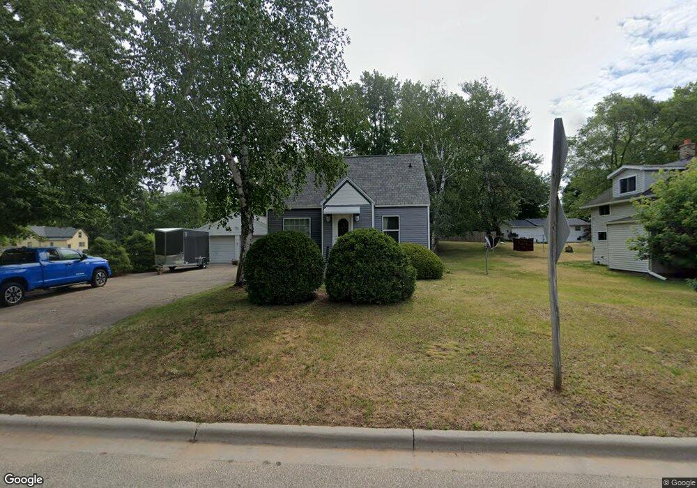
908 S Weed St Shawano, WI 54166
Estimated Value: $143,998 - $167,000
2
Beds
1
Bath
379
Sq Ft
$403/Sq Ft
Est. Value
About This Home
This home is located at 908 S Weed St, Shawano, WI 54166 and is currently estimated at $152,750, approximately $403 per square foot. 908 S Weed St is a home located in Shawano County with nearby schools including Hillcrest Primary School, Brener Elementary School, and Shawano Community Middle School.
Ownership History
Date
Name
Owned For
Owner Type
Purchase Details
Closed on
Sep 1, 2021
Sold by
Rr & Km Properties Llc
Bought by
Richards Rhonda S
Current Estimated Value
Purchase Details
Closed on
Nov 1, 2011
Sold by
Richards Rhonda S and Adkins Rhonda S
Bought by
Rr & Km Properties Llc
Home Financials for this Owner
Home Financials are based on the most recent Mortgage that was taken out on this home.
Original Mortgage
$49,900
Interest Rate
4.08%
Create a Home Valuation Report for This Property
The Home Valuation Report is an in-depth analysis detailing your home's value as well as a comparison with similar homes in the area
Home Values in the Area
Average Home Value in this Area
Purchase History
| Date | Buyer | Sale Price | Title Company |
|---|---|---|---|
| Richards Rhonda S | $61,300 | Rhonda Richards | |
| Rr & Km Properties Llc | -- | Nicolet Title Llc |
Source: Public Records
Mortgage History
| Date | Status | Borrower | Loan Amount |
|---|---|---|---|
| Previous Owner | Rr & Km Properties Llc | $49,900 |
Source: Public Records
Tax History Compared to Growth
Tax History
| Year | Tax Paid | Tax Assessment Tax Assessment Total Assessment is a certain percentage of the fair market value that is determined by local assessors to be the total taxable value of land and additions on the property. | Land | Improvement |
|---|---|---|---|---|
| 2024 | $1,630 | $88,400 | $10,500 | $77,900 |
| 2023 | $1,535 | $88,400 | $10,500 | $77,900 |
| 2022 | $1,384 | $62,500 | $10,000 | $52,500 |
| 2021 | $1,569 | $62,500 | $10,000 | $52,500 |
| 2020 | $1,551 | $62,500 | $10,000 | $52,500 |
| 2019 | $1,531 | $62,500 | $10,000 | $52,500 |
| 2018 | $1,616 | $62,100 | $9,500 | $52,600 |
| 2017 | $1,545 | $62,100 | $9,500 | $52,600 |
| 2016 | $1,559 | $62,100 | $9,500 | $52,600 |
| 2015 | $1,411 | $62,100 | $9,500 | $52,600 |
| 2014 | $140,349 | $62,100 | $9,500 | $52,600 |
| 2013 | $1,563 | $62,100 | $9,500 | $52,600 |
Source: Public Records
Map
Nearby Homes
- 932 S River St
- 932 S Lafayette St
- Lt8 S Lafayette St
- Lt1 S Lafayette St
- 609 S Weed St
- 606 W Stevens Ave
- 601 W Eagle St
- 202 W Lieg Ave
- 0 Lafayette Unit 50314606
- 0 Lafayette Unit 50314603
- 315 S Main St
- W7618 Poplar Rd
- 1036 S Main St
- 0 S Andrews St
- 313 E Center St
- 421 E Zingler Ave
- 925 E Maurer St
- 311 S Union St
- N4860 Rose Brook Rd
- 206 S Lincoln St
- 904 S Weed St
- 912 S Weed St
- 0 S Weed St
- 907 S Bartlett St
- 915 S Bartlett St
- 822 S Weed St
- 909 S Weed St
- 922 S Weed St
- 913 S Weed St
- 923 S Bartlett St
- 814 S Weed St
- 921 S Weed St
- 926 S Weed St
- 815 S Bartlett St
- 817 S Weed St
- 929 S Bartlett St
- 908 S River St
- 912 S River St
- 912 S Bartlett St
- 918 S River St