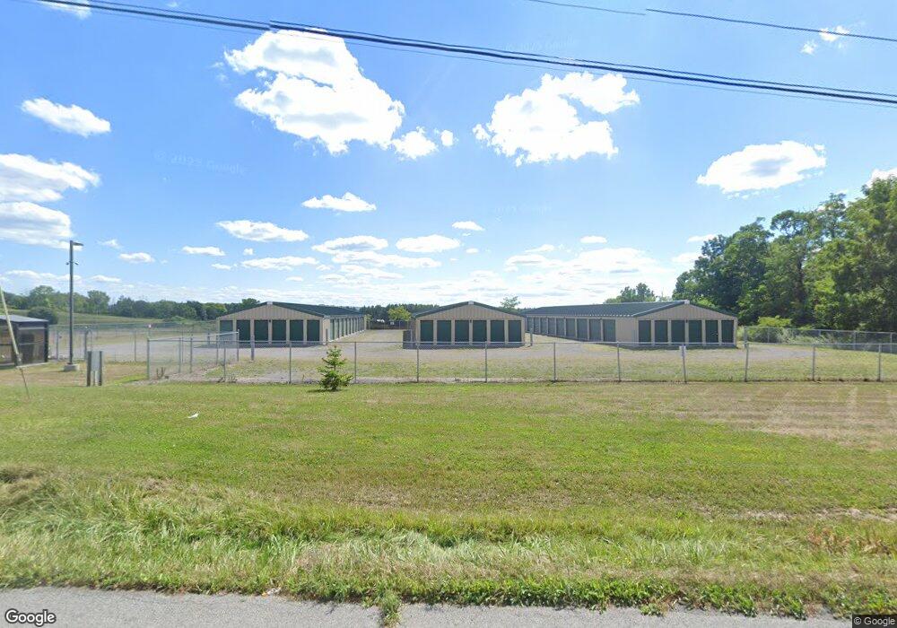
9080 State Route 5 and 20 Bloomfield, NY 14469
Estimated Value: $325,000 - $414,697
4
Beds
3
Baths
3,774
Sq Ft
$98/Sq Ft
Est. Value
About This Home
This home is located at 9080 State Route 5 and 20, Bloomfield, NY 14469 and is currently estimated at $369,674, approximately $97 per square foot. 9080 State Route 5 and 20 is a home located in Ontario County with nearby schools including Bloomfield Elementary School, Bloomfield Middle School, and Bloomfield High School.
Ownership History
Date
Name
Owned For
Owner Type
Purchase Details
Closed on
May 14, 2021
Sold by
Holdsworth Deborah A
Bought by
Holdsworth Steven D
Current Estimated Value
Create a Home Valuation Report for This Property
The Home Valuation Report is an in-depth analysis detailing your home's value as well as a comparison with similar homes in the area
Home Values in the Area
Average Home Value in this Area
Purchase History
| Date | Buyer | Sale Price | Title Company |
|---|---|---|---|
| Holdsworth Steven D | -- | None Available |
Source: Public Records
Tax History Compared to Growth
Tax History
| Year | Tax Paid | Tax Assessment Tax Assessment Total Assessment is a certain percentage of the fair market value that is determined by local assessors to be the total taxable value of land and additions on the property. | Land | Improvement |
|---|---|---|---|---|
| 2024 | $5,287 | $266,400 | $27,200 | $239,200 |
| 2023 | $7,669 | $266,400 | $27,200 | $239,200 |
| 2022 | $1,971 | $266,400 | $27,200 | $239,200 |
| 2021 | $5,866 | $179,000 | $25,300 | $153,700 |
| 2020 | $1,822 | $179,000 | $25,300 | $153,700 |
| 2019 | -- | $179,000 | $25,300 | $153,700 |
| 2018 | $0 | $179,000 | $25,300 | $153,700 |
| 2017 | $0 | $152,800 | $28,000 | $124,800 |
| 2016 | $4,678 | $152,800 | $28,000 | $124,800 |
| 2015 | -- | $152,800 | $28,000 | $124,800 |
| 2014 | -- | $152,800 | $28,000 | $124,800 |
Source: Public Records
Map
Nearby Homes
- 58 Bloomdale Mobile Home Park Unit 58
- 21 Picture Book Park
- 48 Picture Book Park
- 2275 Olmstead Rd
- 8632 State Route 5 and 20
- 0 County Road 35
- 1621 Bragg St
- 2890 Conn Rd
- 8812 County Road 14
- VL County Road 14
- 3055 Sand Rd
- 1939 New York 65
- 1892 Quaker Meeting House Rd
- 1925 Factors Walk
- 0 Wesley Rd
- 1775 Elm St
- 7367 Evergreen St
- 1726 Parkside Place
- 7626 Bromley Rd
- 2711 Clay St
- 9070 State Route 5 and 20
- 9070 State Route 5 & 20
- 9088 State Route 5 and 20
- 9081 State Route 5 and 20
- 9073 State Route 5 and 20
- 9094 State Route 5 and 20
- 9067 State Route 5 and 20
- 9061 State Route 5 and 20
- 9098 5 and 20
- 2490 State Route 65
- 9095 State Route 5 and 20
- 9054 State Route 5 and 20
- 2484 State Route 65
- 9099 State Route 5 and 20
- 9053 State Route 5 and 20
- 9053 State Route 5 & 20
- 9104 State Route 5 and 20
- 2482 State Route 65
- 9099 5 and 20
- 9053 Route 5 and 20
