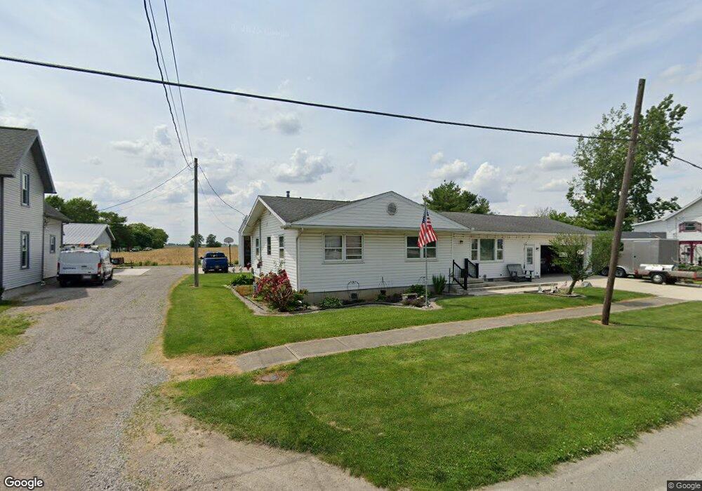
9081 Custar Rd Custar, OH 43511
Estimated Value: $203,625 - $277,000
4
Beds
2
Baths
2,002
Sq Ft
$113/Sq Ft
Est. Value
About This Home
This home is located at 9081 Custar Rd, Custar, OH 43511 and is currently estimated at $226,906, approximately $113 per square foot. 9081 Custar Rd is a home located in Wood County with nearby schools including Bowling Green High School.
Ownership History
Date
Name
Owned For
Owner Type
Purchase Details
Closed on
Jul 27, 2012
Sold by
Peterson David E and Peterson Jean E
Bought by
Peterson David E and Peterson Jean E
Current Estimated Value
Home Financials for this Owner
Home Financials are based on the most recent Mortgage that was taken out on this home.
Original Mortgage
$70,000
Outstanding Balance
$8,843
Interest Rate
3.65%
Mortgage Type
Credit Line Revolving
Estimated Equity
$218,063
Purchase Details
Closed on
Mar 14, 1986
Bought by
Peterson David
Create a Home Valuation Report for This Property
The Home Valuation Report is an in-depth analysis detailing your home's value as well as a comparison with similar homes in the area
Purchase History
| Date | Buyer | Sale Price | Title Company |
|---|---|---|---|
| Peterson David E | -- | Attorney | |
| Peterson David | $31,500 | -- |
Source: Public Records
Mortgage History
| Date | Status | Borrower | Loan Amount |
|---|---|---|---|
| Open | Peterson David E | $70,000 |
Source: Public Records
Tax History
| Year | Tax Paid | Tax Assessment Tax Assessment Total Assessment is a certain percentage of the fair market value that is determined by local assessors to be the total taxable value of land and additions on the property. | Land | Improvement |
|---|---|---|---|---|
| 2025 | $2,760 | $60,550 | $2,835 | $57,715 |
| 2024 | $2,744 | $60,550 | $2,835 | $57,715 |
| 2023 | $2,744 | $60,560 | $2,840 | $57,720 |
| 2021 | $2,139 | $45,120 | $1,890 | $43,230 |
| 2020 | $2,092 | $45,120 | $1,890 | $43,230 |
| 2019 | $2,060 | $43,050 | $1,890 | $41,160 |
| 2018 | $2,048 | $43,050 | $1,890 | $41,160 |
| 2017 | $2,024 | $43,050 | $1,890 | $41,160 |
| 2016 | $1,921 | $40,710 | $1,890 | $38,820 |
| 2015 | $1,988 | $40,710 | $1,890 | $38,820 |
| 2014 | $2,013 | $40,710 | $1,890 | $38,820 |
| 2013 | $2,228 | $40,710 | $1,890 | $38,820 |
Source: Public Records
Map
Nearby Homes
- 23117 Defiance Pike
- 22759 Defiance Pike
- 24642 Hammansburg Rd
- 20210 Oak St
- 117 Meadow Ln
- 115 Meadow Ln
- 113 N Meadow Ln
- 116 Meadow Ln
- 119 N Harvest St
- 112 N Harvest Dr
- 121 N Harvest St
- 118 N Harvest Dr
- 120 N Harvest Dr
- 102 N Harvest Dr
- 107 N Harvest St
- 125 N Harvest Dr
- 117 N Harvest St
- 123 N Harvest St
- 104 N Harvest Dr
- 100 N Harvest Dr
- 9073 Custar Rd
- 9127 Custar Rd
- 9051 Custar Rd
- 9060 Custar Rd
- 9043 Custar Rd
- 9042 Custar Rd
- 9148 Custar Rd
- 9025 Custar Rd
- 9172 Custar Rd
- 9175 Custar Rd
- 9028 Custar Rd
- 22965 Perry St
- 23008 Defiance Pike
- 0 Defiance Pike
- 9066 N North High
- 22797 Defiance Pike
- 0 N High St
- 22990 Defiance Pike
- 9066 High St
- 22984 Main St
Your Personal Tour Guide
Ask me questions while you tour the home.