Estimated Value: $130,939 - $208,000
--
Bed
2
Baths
1,311
Sq Ft
$129/Sq Ft
Est. Value
About This Home
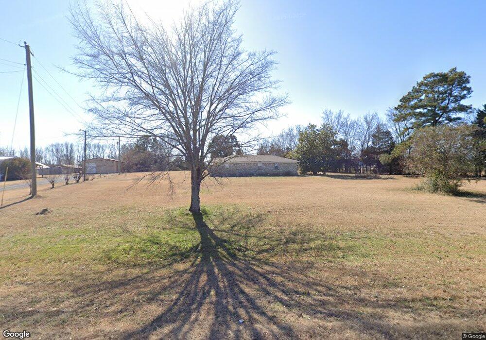
This home is located at 9081 Highway 38, Ward, AR 72176 and is currently estimated at $169,485, approximately $129 per square foot. 9081 Highway 38 is a home located in Lonoke County with nearby schools including Ward Central Elementary School, Cabot Middle School North, and Cabot Junior High North.
Ownership History
Date
Name
Owned For
Owner Type
Purchase Details
Closed on
Jul 28, 2006
Bought by
Ferren Mark
Current Estimated Value
Purchase Details
Closed on
Apr 26, 2006
Bought by
Ferren Mark
Purchase Details
Closed on
Jun 19, 1996
Bought by
Ferren and Ferren Wife
Purchase Details
Closed on
Apr 8, 1987
Bought by
Margot and Margot Wife
Purchase Details
Closed on
Oct 24, 1986
Bought by
Veterans Affairs
Purchase Details
Closed on
Sep 4, 1986
Bought by
National Mtg
Purchase Details
Closed on
Oct 14, 1983
Bought by
Allen and Allen Wife
Create a Home Valuation Report for This Property
The Home Valuation Report is an in-depth analysis detailing your home's value as well as a comparison with similar homes in the area
Home Values in the Area
Average Home Value in this Area
Purchase History
| Date | Buyer | Sale Price | Title Company |
|---|---|---|---|
| Ferren Mark | -- | -- | |
| Ferren Mark | -- | -- | |
| Ferren | $58,000 | -- | |
| Ferren | $58,000 | -- | |
| Margot | -- | -- | |
| Veterans Affairs | -- | -- | |
| National Mtg | -- | -- | |
| Allen | $45,000 | -- |
Source: Public Records
Tax History Compared to Growth
Tax History
| Year | Tax Paid | Tax Assessment Tax Assessment Total Assessment is a certain percentage of the fair market value that is determined by local assessors to be the total taxable value of land and additions on the property. | Land | Improvement |
|---|---|---|---|---|
| 2025 | $348 | $15,760 | $1,870 | $13,890 |
| 2024 | $348 | $15,760 | $1,870 | $13,890 |
| 2023 | $348 | $15,760 | $1,870 | $13,890 |
| 2022 | $395 | $15,760 | $1,870 | $13,890 |
| 2021 | $363 | $15,760 | $1,870 | $13,890 |
| 2020 | $330 | $14,270 | $1,870 | $12,400 |
| 2019 | $330 | $14,270 | $1,870 | $12,400 |
| 2018 | $355 | $14,270 | $1,870 | $12,400 |
| 2017 | $605 | $14,270 | $1,870 | $12,400 |
| 2016 | $355 | $14,270 | $1,870 | $12,400 |
| 2015 | $597 | $14,070 | $1,870 | $12,200 |
| 2014 | $296 | $14,070 | $1,870 | $12,200 |
Source: Public Records
Map
Nearby Homes
- 158 Coyote Cir
- 45 Willow Tree Rd
- 84 E Green Tree Rd
- 135 Red Bud Ln
- 0 Timber Creek Dr
- 170 Sandy Creek Dr
- 10 Patti Cove
- 15467 Highway 31 N
- TBD Hill Rd
- 1174 Pigeon Rd
- 1226 Pigeon Rd
- 20 Lilly Ann Cir
- 28 Remington Ln
- 27 Remington Ln
- 405 Allen Cove
- 305 Charlie Olds Rd
- 82 Lenderman Trl Trail
- 1524 Bland Chapel Rd
- 1652 Bland Chapel Rd
- 12 Dunnaway Dr
- 9125 Highway 38
- 9315 Highway 38
- 20 Ashtin Place
- 9029 Highway 38
- 35 Princeton Place
- 57 Ashtin Place
- 60 Ashtin Place
- 0 Ashtin Place Unit 15019464
- 0 Ashtin Place Unit 16029765
- 34 Princeton Place
- 0 Princeton Place Unit 17037324
- 77 Ashtin Place
- 67 Princeton Place
- 120 Ashtin Place
- 113 Ashtin Place
- 107 Princeton Place
- 104 Princeton Place
- 140 Ashtin Place
- 14014 Highway 31 N
- 135 Ashtin Place