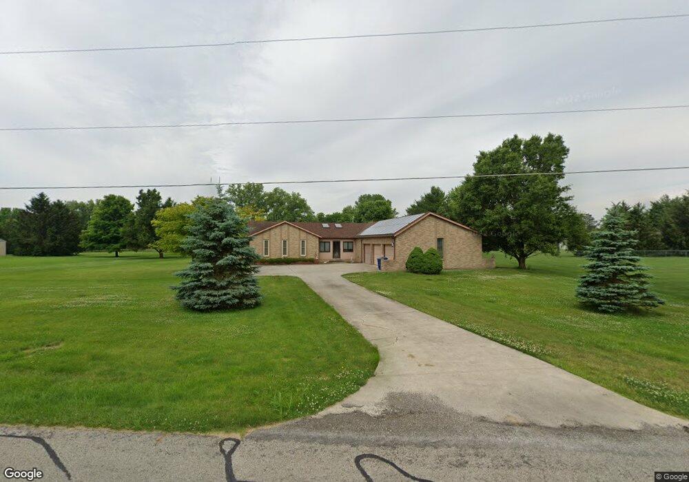
9085 Mccord Rd Orient, OH 43146
Estimated Value: $353,000 - $495,000
3
Beds
2
Baths
1,565
Sq Ft
$260/Sq Ft
Est. Value
About This Home
This home is located at 9085 Mccord Rd, Orient, OH 43146 and is currently estimated at $406,718, approximately $259 per square foot. 9085 Mccord Rd is a home located in Pickaway County.
Ownership History
Date
Name
Owned For
Owner Type
Purchase Details
Closed on
Jun 23, 1997
Sold by
Moon Gary L
Bought by
Holtz Mark P and Holtz Pamela G
Current Estimated Value
Home Financials for this Owner
Home Financials are based on the most recent Mortgage that was taken out on this home.
Original Mortgage
$155,300
Outstanding Balance
$22,281
Interest Rate
8.01%
Mortgage Type
New Conventional
Estimated Equity
$384,437
Create a Home Valuation Report for This Property
The Home Valuation Report is an in-depth analysis detailing your home's value as well as a comparison with similar homes in the area
Home Values in the Area
Average Home Value in this Area
Purchase History
| Date | Buyer | Sale Price | Title Company |
|---|---|---|---|
| Holtz Mark P | $163,500 | -- |
Source: Public Records
Mortgage History
| Date | Status | Borrower | Loan Amount |
|---|---|---|---|
| Open | Holtz Mark P | $155,300 |
Source: Public Records
Tax History
| Year | Tax Paid | Tax Assessment Tax Assessment Total Assessment is a certain percentage of the fair market value that is determined by local assessors to be the total taxable value of land and additions on the property. | Land | Improvement |
|---|---|---|---|---|
| 2024 | -- | $130,330 | $20,460 | $109,870 |
| 2023 | $4,557 | $130,330 | $20,460 | $109,870 |
| 2022 | $3,441 | $92,780 | $13,640 | $79,140 |
| 2021 | $3,451 | $92,780 | $13,640 | $79,140 |
| 2020 | $3,452 | $92,780 | $13,640 | $79,140 |
| 2019 | $2,709 | $75,270 | $12,960 | $62,310 |
| 2018 | $2,592 | $75,270 | $12,960 | $62,310 |
| 2017 | $2,660 | $75,270 | $12,960 | $62,310 |
| 2016 | $2,603 | $73,700 | $11,250 | $62,450 |
| 2015 | $2,605 | $73,700 | $11,250 | $62,450 |
| 2014 | $2,608 | $73,700 | $11,250 | $62,450 |
| 2013 | $2,712 | $73,700 | $11,250 | $62,450 |
Source: Public Records
Map
Nearby Homes
- 1520 Hiner Rd
- 5640 Freedom Run
- 1490 Hiner Rd
- 1470 Hiner Rd
- 9174 Constitution Ave
- 1800 Lynnbrook Ct
- 302 Shady Hollow Dr
- 297 Mahogany Ln
- 1700 Harvey Ln Unit Lot 5
- 6444 Autumn Blaze
- 1459 River Trail Dr
- 1717 London Groveport Rd
- 1352 River Trail Dr
- 336 Cherry Hills Rd
- 38 Waterman Ave
- 326 Merion Dr
- 352 Oakmont Dr
- 332 Merion Dr
- 6358 Shawnee St
- 6321 Windcliff Dr
- 9115 Mccord Rd
- 1635 Hiner Rd
- 1585 Hiner Rd
- 9096 Mccord Rd
- 9151 Mccord Rd
- 9040 Mccord Rd
- 1557 Hiner Rd
- 9136 Mccord Rd
- 1655 Hiner Rd
- 1643 Hiner Rd
- 1570 Hiner Rd
- 9155 Mccord Rd
- 1608 Hiner Rd
- 1665 Hiner Rd
- 1558 Hiner Rd
- 5790 Mattox Cir
- 5790 Mattox Cir Unit 330
- 5800 Mattox Cir
- 5780 Mattox Cir Unit 331
- 5810 Mattox Cir Unit 328
Your Personal Tour Guide
Ask me questions while you tour the home.