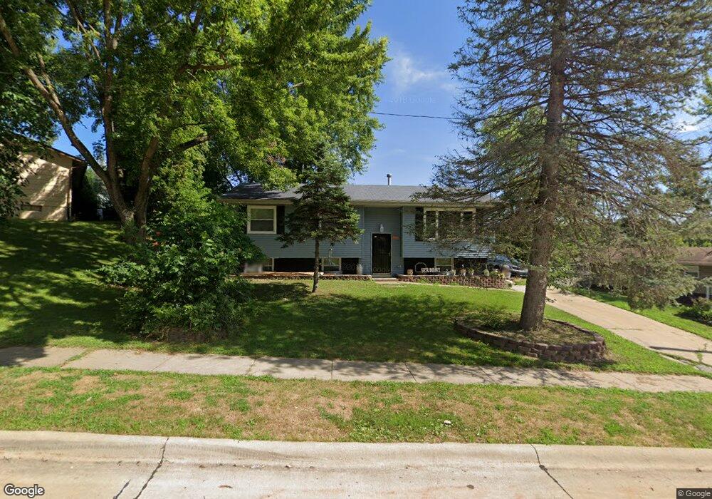
909 83rd Ave W Rock Island, IL 61201
Southwest Rock Island NeighborhoodEstimated Value: $151,000 - $218,000
4
Beds
2
Baths
1,236
Sq Ft
$145/Sq Ft
Est. Value
About This Home
This home is located at 909 83rd Ave W, Rock Island, IL 61201 and is currently estimated at $178,689, approximately $144 per square foot. 909 83rd Ave W is a home located in Rock Island County with nearby schools including Thomas Jefferson Elementary School, Edison Jr High School, and Rock Island High School.
Ownership History
Date
Name
Owned For
Owner Type
Purchase Details
Closed on
Feb 17, 2023
Sold by
Green Lucy N
Bought by
Green Lucy N and Green Mark
Current Estimated Value
Home Financials for this Owner
Home Financials are based on the most recent Mortgage that was taken out on this home.
Original Mortgage
$93,000
Outstanding Balance
$90,237
Interest Rate
6.63%
Mortgage Type
New Conventional
Estimated Equity
$88,452
Purchase Details
Closed on
Feb 1, 1972
Create a Home Valuation Report for This Property
The Home Valuation Report is an in-depth analysis detailing your home's value as well as a comparison with similar homes in the area
Home Values in the Area
Average Home Value in this Area
Purchase History
| Date | Buyer | Sale Price | Title Company |
|---|---|---|---|
| Green Lucy N | -- | Summit Settlement Services | |
| Green Mark | -- | Summit Settlement Services | |
| Green Lucy N | -- | Summit Settlement Services | |
| -- | $24,000 | -- |
Source: Public Records
Mortgage History
| Date | Status | Borrower | Loan Amount |
|---|---|---|---|
| Open | Green Mark | $93,000 | |
| Closed | Green Lucy N | $93,000 |
Source: Public Records
Tax History Compared to Growth
Tax History
| Year | Tax Paid | Tax Assessment Tax Assessment Total Assessment is a certain percentage of the fair market value that is determined by local assessors to be the total taxable value of land and additions on the property. | Land | Improvement |
|---|---|---|---|---|
| 2024 | $3,547 | $46,090 | $6,838 | $39,252 |
| 2023 | $3,547 | $43,075 | $6,391 | $36,684 |
| 2022 | $2,392 | $34,232 | $5,896 | $28,336 |
| 2021 | $1,992 | $32,416 | $5,583 | $26,833 |
| 2020 | $1,792 | $36,676 | $5,442 | $31,234 |
| 2019 | $1,770 | $31,232 | $5,388 | $25,844 |
| 2018 | $1,770 | $30,862 | $5,324 | $25,538 |
| 2017 | $1,809 | $30,287 | $5,225 | $25,062 |
| 2016 | $1,697 | $30,136 | $5,199 | $24,937 |
| 2015 | $1,709 | $29,978 | $5,172 | $24,806 |
| 2014 | $416 | $32,891 | $5,061 | $27,830 |
| 2013 | $416 | $32,891 | $5,061 | $27,830 |
Source: Public Records
Map
Nearby Homes
- 8101 8 1 2 St W
- 651 10th Ave W
- 831 12th St W
- 1903 4th St W
- 208 Blackhawk Ave
- 0 Parkside Ct
- 1237 Hilltop Dr
- 0 U S Highway 67
- 1417 - 1419 E 1st St
- 705 13th St W
- Lot 36 Ridgewood Rd
- 1441 98th Avenue Ct W
- 1437 98th Avenue Ct W
- 1433 98th Avenue Ct W
- 514 30th Ave W
- 1992 W 65th Ave
- 448 4th St E
- 432 5th St E
- 2809 79th Avenue Ct
- 1300 20th Ave E
- 8219 10th St W
- 8217 10th St W
- 8220 9th St W
- 908 83rd Ave W
- 8305 10th St W
- 1001 83rd Ave W
- 8214 9th St W
- 1002 83rd Ave W
- 8313 10th St W
- 8311 10th St W Unit 8313
- 8217 9th St W
- 8220 10th St W
- 8213 9th St W
- 8209 10th St W
- 8310 10th St W
- 8210 9th St W
- 1005 83rd Ave W
- 8216 10th St W
- 8209 9th St W
- 8317 10th St W