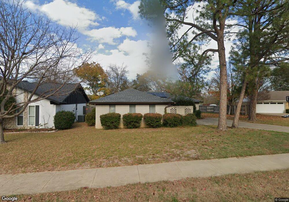
909 Brestol Ct E Bedford, TX 76021
Estimated Value: $326,000 - $428,000
3
Beds
2
Baths
1,832
Sq Ft
$199/Sq Ft
Est. Value
About This Home
This home is located at 909 Brestol Ct E, Bedford, TX 76021 and is currently estimated at $364,124, approximately $198 per square foot. 909 Brestol Ct E is a home located in Tarrant County with nearby schools including Bedford Heights Elementary School, Bedford Junior High School, and L.D. Bell High School.
Ownership History
Date
Name
Owned For
Owner Type
Purchase Details
Closed on
Oct 4, 2016
Sold by
Garrison Raul N and Garrison Anita Louise
Bought by
Garrison Raul N and Garrison Louise Anita
Current Estimated Value
Home Financials for this Owner
Home Financials are based on the most recent Mortgage that was taken out on this home.
Original Mortgage
$304,500
Outstanding Balance
$244,114
Interest Rate
3.46%
Mortgage Type
FHA
Estimated Equity
$120,010
Purchase Details
Closed on
Apr 7, 2004
Sold by
Willis Benjamin L
Bought by
Willis Benjamin L and Willis Sylvia A
Purchase Details
Closed on
Aug 14, 1996
Sold by
Reavis William Albert and Dereavis Sonia Dency Barrientos
Bought by
Garrison Raul N and Garrison Anita Louise
Home Financials for this Owner
Home Financials are based on the most recent Mortgage that was taken out on this home.
Original Mortgage
$92,843
Interest Rate
8.42%
Mortgage Type
FHA
Create a Home Valuation Report for This Property
The Home Valuation Report is an in-depth analysis detailing your home's value as well as a comparison with similar homes in the area
Home Values in the Area
Average Home Value in this Area
Purchase History
| Date | Buyer | Sale Price | Title Company |
|---|---|---|---|
| Garrison Raul N | -- | None Available | |
| Willis Benjamin L | -- | Netco Title Company | |
| Garrison Raul N | -- | First American Title Co |
Source: Public Records
Mortgage History
| Date | Status | Borrower | Loan Amount |
|---|---|---|---|
| Open | Garrison Raul N | $304,500 | |
| Closed | Garrison Raul N | $92,843 |
Source: Public Records
Tax History Compared to Growth
Tax History
| Year | Tax Paid | Tax Assessment Tax Assessment Total Assessment is a certain percentage of the fair market value that is determined by local assessors to be the total taxable value of land and additions on the property. | Land | Improvement |
|---|---|---|---|---|
| 2025 | $1,496 | $311,834 | $80,000 | $231,834 |
| 2024 | $1,496 | $311,834 | $80,000 | $231,834 |
| 2023 | $5,449 | $284,074 | $60,000 | $224,074 |
| 2022 | $5,841 | $267,416 | $60,000 | $207,416 |
| 2021 | $5,748 | $244,035 | $60,000 | $184,035 |
| 2020 | $6,145 | $263,788 | $60,000 | $203,788 |
| 2019 | $6,451 | $265,561 | $60,000 | $205,561 |
| 2018 | $5,664 | $233,154 | $60,000 | $173,154 |
| 2017 | $5,285 | $218,453 | $30,000 | $188,453 |
| 2016 | $4,271 | $195,225 | $30,000 | $165,225 |
| 2015 | $3,389 | $182,536 | $30,000 | $152,536 |
| 2014 | $3,389 | $145,900 | $20,000 | $125,900 |
Source: Public Records
Map
Nearby Homes
- 3624 Wayne Ct
- 1109 Simpson Terrace
- 909 Brestol Ct W
- 3609 Wayne Ct
- 1136 Wingate Dr
- 3605 Spring Valley Dr
- 628 Huntwich Dr
- 3907 Copperwood Ct
- 4002 Copperwood Ct
- 1209 Hillandale Ct
- 3301 Wendover Ct
- 913 Kensington Ct
- 4105 Inwood Ln
- 1303 Crest Dr
- 3213 Spring Valley Dr
- 1421 Plantation Dr N
- 3119 Spring Grove Dr
- 405 Woodbriar Ct
- 801 Shady Creek Ln
- 3827 Ashbury Ln
- 905 Brestol Ct E
- 913 Brestol Ct E
- 917 Brestol Ct E
- 901 Brestol Ct E
- 908 Brestol Ct E
- 904 Brestol Ct E
- 912 Brestol Ct E
- 916 Brestol Ct E
- 3708 Wayne Dr
- 900 Brestol Ct E
- 1001 Michael Sean Ct
- 1000 Michael Sean Ct
- 937 Harwood Terrace
- 1005 Michael Sean Ct
- 941 Harwood Terrace
- 933 Harwood Terrace
- 925 Brestol Ct W
- 945 Harwood Terrace
- 929 Harwood Terrace
- 3808 Wayne Dr