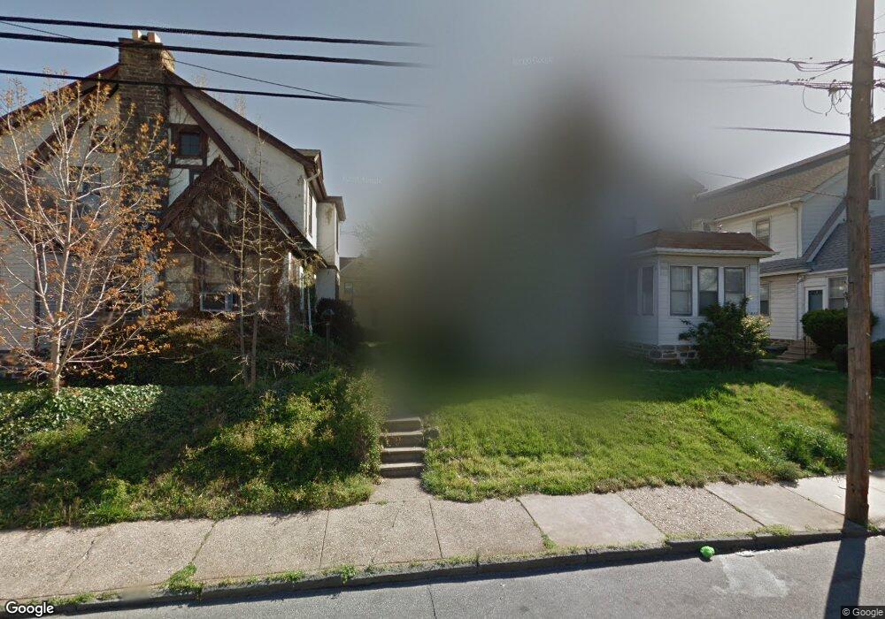
909 Bullock Ave Lansdowne, PA 19050
Estimated Value: $214,000 - $287,000
3
Beds
1
Bath
1,504
Sq Ft
$163/Sq Ft
Est. Value
About This Home
This home is located at 909 Bullock Ave, Lansdowne, PA 19050 and is currently estimated at $245,825, approximately $163 per square foot. 909 Bullock Ave is a home located in Delaware County with nearby schools including Evans Elementary School, Penn Wood Middle School, and Penn Wood High School - Cypress Street Campus.
Ownership History
Date
Name
Owned For
Owner Type
Purchase Details
Closed on
Aug 25, 1994
Sold by
Kearns Rita E
Bought by
Cuff Darrell G and Cuff Michelle W
Current Estimated Value
Home Financials for this Owner
Home Financials are based on the most recent Mortgage that was taken out on this home.
Original Mortgage
$65,000
Interest Rate
8.44%
Create a Home Valuation Report for This Property
The Home Valuation Report is an in-depth analysis detailing your home's value as well as a comparison with similar homes in the area
Home Values in the Area
Average Home Value in this Area
Purchase History
| Date | Buyer | Sale Price | Title Company |
|---|---|---|---|
| Cuff Darrell G | $70,000 | T A Title Insurance Company |
Source: Public Records
Mortgage History
| Date | Status | Borrower | Loan Amount |
|---|---|---|---|
| Closed | Cuff Darrell G | $65,000 |
Source: Public Records
Tax History Compared to Growth
Tax History
| Year | Tax Paid | Tax Assessment Tax Assessment Total Assessment is a certain percentage of the fair market value that is determined by local assessors to be the total taxable value of land and additions on the property. | Land | Improvement |
|---|---|---|---|---|
| 2025 | $4,963 | $116,220 | $32,470 | $83,750 |
| 2024 | $4,963 | $116,220 | $32,470 | $83,750 |
| 2023 | $4,507 | $116,220 | $32,470 | $83,750 |
| 2022 | $4,298 | $116,220 | $32,470 | $83,750 |
| 2021 | $6,499 | $116,220 | $32,470 | $83,750 |
| 2020 | $4,270 | $68,370 | $18,740 | $49,630 |
| 2019 | $4,195 | $68,370 | $18,740 | $49,630 |
| 2018 | $4,136 | $68,370 | $0 | $0 |
| 2017 | $4,050 | $68,370 | $0 | $0 |
| 2016 | $375 | $68,370 | $0 | $0 |
| 2015 | $383 | $68,370 | $0 | $0 |
| 2014 | $375 | $68,370 | $0 | $0 |
Source: Public Records
Map
Nearby Homes
- 908 Yeadon Ave
- 921 Serrill Ave
- 939 Serrill Ave
- 825 Laurel Rd
- 808 Serrill Ave
- 800 Bullock Ave
- 813 Arbor Rd
- 923 Bell Ave
- 740 Church Ln
- 1049 Yeadon Ave
- 722 Yeadon Ave
- 711 Yeadon Ave Unit 1
- 6718 Cobbs Creek Pkwy
- 6535 Windsor St
- 702 Cedar Ave
- 1781 S 65th St
- 6835 Chester Ave
- 6951 Chester Ave
- 6564 Belmar St
- 1016 Whitby Ave
- 907 Bullock Ave
- 911 Bullock Ave
- 905 Bullock Ave
- 913 Bullock Ave
- 903 Bullock Ave
- 915 Bullock Ave
- 901 Bullock Ave
- 906 Church Ln
- 900 Church Ln
- 912 Church Ln
- 900-902 Church Ln
- 919 Bullock Ave
- 921 Bullock Ave
- 908 Bullock Ave
- 906 Bullock Ave
- 904 Bullock Ave
- 912 Bullock Ave
- 902 Bullock Ave
- 851 Bullock Ave
- 914 Bullock Ave