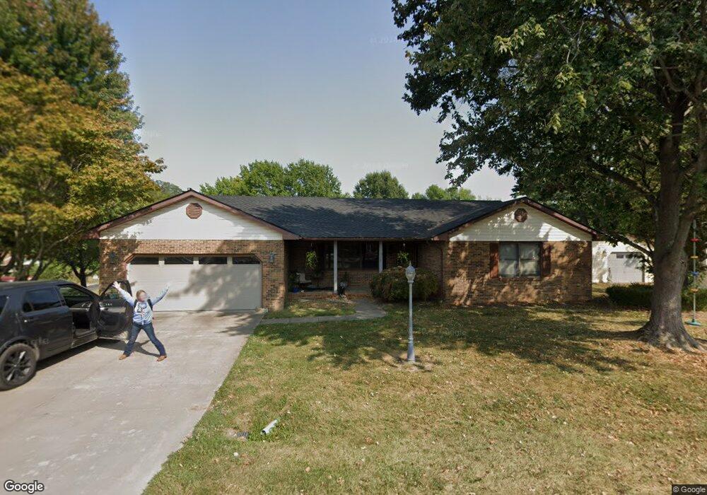
909 Chestnut St Jerseyville, IL 62052
Estimated Value: $238,000 - $286,000
3
Beds
3
Baths
1,953
Sq Ft
$133/Sq Ft
Est. Value
About This Home
This home is located at 909 Chestnut St, Jerseyville, IL 62052 and is currently estimated at $260,127, approximately $133 per square foot. 909 Chestnut St is a home located in Jersey County with nearby schools including Jersey Community High School, St Francis/Holy Ghost Catholic School, and Victory Baptist School.
Ownership History
Date
Name
Owned For
Owner Type
Purchase Details
Closed on
May 19, 2010
Sold by
Howard Leonard L and Howard Wilma J
Bought by
Capps Jerrod
Current Estimated Value
Home Financials for this Owner
Home Financials are based on the most recent Mortgage that was taken out on this home.
Original Mortgage
$166,800
Outstanding Balance
$112,291
Interest Rate
5.14%
Estimated Equity
$147,836
Create a Home Valuation Report for This Property
The Home Valuation Report is an in-depth analysis detailing your home's value as well as a comparison with similar homes in the area
Home Values in the Area
Average Home Value in this Area
Purchase History
| Date | Buyer | Sale Price | Title Company |
|---|---|---|---|
| Capps Jerrod | -- | -- |
Source: Public Records
Mortgage History
| Date | Status | Borrower | Loan Amount |
|---|---|---|---|
| Open | Capps Jerrod | $166,800 |
Source: Public Records
Tax History Compared to Growth
Tax History
| Year | Tax Paid | Tax Assessment Tax Assessment Total Assessment is a certain percentage of the fair market value that is determined by local assessors to be the total taxable value of land and additions on the property. | Land | Improvement |
|---|---|---|---|---|
| 2024 | $5,448 | $76,375 | $15,045 | $61,330 |
| 2023 | $5,194 | $71,380 | $14,060 | $57,320 |
| 2022 | $4,986 | $66,710 | $13,140 | $53,570 |
| 2021 | $4,782 | $63,230 | $12,455 | $50,775 |
| 2020 | $4,499 | $60,795 | $11,975 | $48,820 |
| 2019 | $4,499 | $59,315 | $11,685 | $47,630 |
| 2018 | $4,353 | $58,875 | $11,600 | $47,275 |
| 2017 | $4,421 | $58,440 | $11,515 | $46,925 |
| 2016 | $4,443 | $58,845 | $11,595 | $47,250 |
| 2015 | -- | $59,740 | $11,770 | $47,970 |
| 2014 | -- | $59,830 | $11,790 | $48,040 |
Source: Public Records
Map
Nearby Homes
- 404 Lott St
- 706 Harrison St
- 621 Cleveland St
- 820 N Liberty St
- 703 Harrison St
- 119 Dressel Dr
- 105 Hollow Ave
- 1141 Warren St
- 1137 Warren St
- 405 W Pine St
- 713 N State St
- 910 W Pine St
- 302 Harrison St
- 505 W Spruce St
- 125 Roberts St
- 1003 W Spruce St
- 604 W Spruce St
- 1007 W Spruce St
- 501 W Exchange St
- 911 W Exchange St
- 606 W Woodlawn Ave
- 613 Lott St
- 613 W Lott St
- 611 Lott St
- 999 Westlake Dr
- 613 W Woodlawn Ave
- 615 W Woodlawn Ave
- 604 W Woodlawn Ave
- 605 W Woodlawn Ave
- 1001 Westlake Dr
- 909 Westlake Dr
- 602 W Woodlawn Ave
- 4 Parr Place
- 1003 Westlake Dr
- 907 Westlake Dr
- 616 Lott St
- 1002 Walnut St
- 1000 Walnut St
- 614 Lott St
- 1004 Walnut St