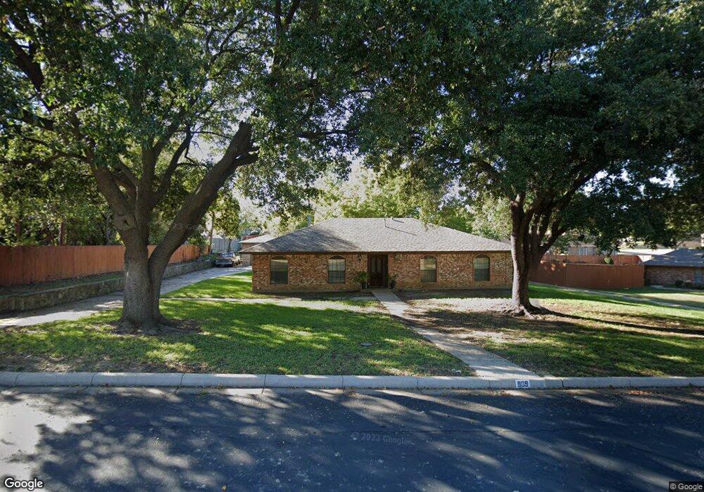
909 Cook Dr Grand Prairie, TX 75050
Estimated Value: $274,000 - $371,000
3
Beds
3
Baths
2,092
Sq Ft
$162/Sq Ft
Est. Value
About This Home
This home is located at 909 Cook Dr, Grand Prairie, TX 75050 and is currently estimated at $339,686, approximately $162 per square foot. 909 Cook Dr is a home located in Dallas County with nearby schools including Stephen F. Austin Elementary School, Crosswinds High School, and Digital Arts & Technology Academy at Adams Middle.
Ownership History
Date
Name
Owned For
Owner Type
Purchase Details
Closed on
Jul 30, 2007
Sold by
Bink Beverly Brillhart
Bought by
Knight James E
Current Estimated Value
Home Financials for this Owner
Home Financials are based on the most recent Mortgage that was taken out on this home.
Original Mortgage
$139,200
Outstanding Balance
$88,449
Interest Rate
6.73%
Mortgage Type
Purchase Money Mortgage
Estimated Equity
$251,237
Purchase Details
Closed on
Apr 8, 2004
Sold by
Bink Beverly Brillhart
Bought by
Bink Beverly Brillhart and The Bink Trust
Create a Home Valuation Report for This Property
The Home Valuation Report is an in-depth analysis detailing your home's value as well as a comparison with similar homes in the area
Home Values in the Area
Average Home Value in this Area
Purchase History
| Date | Buyer | Sale Price | Title Company |
|---|---|---|---|
| Knight James E | -- | None Available | |
| Bink Beverly Brillhart | -- | -- |
Source: Public Records
Mortgage History
| Date | Status | Borrower | Loan Amount |
|---|---|---|---|
| Open | Knight James E | $139,200 |
Source: Public Records
Tax History Compared to Growth
Tax History
| Year | Tax Paid | Tax Assessment Tax Assessment Total Assessment is a certain percentage of the fair market value that is determined by local assessors to be the total taxable value of land and additions on the property. | Land | Improvement |
|---|---|---|---|---|
| 2025 | $1,633 | $327,470 | $70,000 | $257,470 |
| 2024 | $1,633 | $332,460 | $70,000 | $262,460 |
| 2023 | $1,633 | $274,160 | $60,000 | $214,160 |
| 2022 | $7,133 | $281,190 | $60,000 | $221,190 |
| 2021 | $5,729 | $215,550 | $45,000 | $170,550 |
| 2020 | $4,962 | $175,980 | $45,000 | $130,980 |
| 2019 | $5,078 | $173,830 | $45,000 | $128,830 |
| 2018 | $4,850 | $166,000 | $45,000 | $121,000 |
| 2017 | $5,083 | $174,110 | $45,000 | $129,110 |
| 2016 | $4,038 | $138,300 | $45,000 | $93,300 |
| 2015 | $3,247 | $131,300 | $45,000 | $86,300 |
| 2014 | $3,247 | $131,300 | $45,000 | $86,300 |
Source: Public Records
Map
Nearby Homes
- 720 Burleson St
- 322 Hill St
- 805 NW 9th St
- 1002 Capetown Dr
- 1005 Capetown Dr
- 1218 W Church St
- 529 NE 4th St
- 1109 Capetown Dr
- 202 North St
- 320 Fairhavens Place
- 742 Austrian Rd
- 710 Greenland Way
- 645 NW 10th St
- 2434 Starlight St
- 3682 Zenith Rd
- 729 Finland St
- 1202 W Strong Pkwy
- 505 N Carrier Pkwy
- 226 SW 4th St
- 1213 W Tarrant Rd