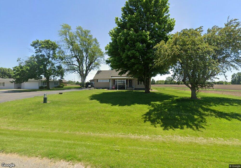
909 Dewitt Ave E Mattoon, IL 61938
Estimated Value: $153,000 - $249,000
3
Beds
2
Baths
1,340
Sq Ft
$147/Sq Ft
Est. Value
About This Home
This home is located at 909 Dewitt Ave E, Mattoon, IL 61938 and is currently estimated at $196,621, approximately $146 per square foot. 909 Dewitt Ave E is a home located in Coles County with nearby schools including Mattoon High School, St. John's Lutheran School, and St Mary School.
Ownership History
Date
Name
Owned For
Owner Type
Purchase Details
Closed on
Jan 12, 2021
Sold by
Brosam Jerry L and Brosam Michellel
Bought by
Coff Brandon
Current Estimated Value
Home Financials for this Owner
Home Financials are based on the most recent Mortgage that was taken out on this home.
Original Mortgage
$152,192
Outstanding Balance
$135,832
Interest Rate
2.71%
Mortgage Type
Purchase Money Mortgage
Estimated Equity
$60,789
Purchase Details
Closed on
Aug 1, 2018
Sold by
Washington Savings Bank
Bought by
Brosam Jerry L and Brosam Michelle L
Home Financials for this Owner
Home Financials are based on the most recent Mortgage that was taken out on this home.
Original Mortgage
$121,500
Interest Rate
4.5%
Mortgage Type
New Conventional
Purchase Details
Closed on
Sep 8, 2017
Sold by
Zuhone Richelle J and Kirk Brennyn
Bought by
Kirk Norma Jean and Kirk Richard B
Create a Home Valuation Report for This Property
The Home Valuation Report is an in-depth analysis detailing your home's value as well as a comparison with similar homes in the area
Home Values in the Area
Average Home Value in this Area
Purchase History
| Date | Buyer | Sale Price | Title Company |
|---|---|---|---|
| Coff Brandon | $77,500 | None Available | |
| Brosam Jerry L | $29,500 | None Available | |
| Kirk Norma Jean | -- | -- |
Source: Public Records
Mortgage History
| Date | Status | Borrower | Loan Amount |
|---|---|---|---|
| Open | Coff Brandon | $152,192 | |
| Previous Owner | Brosam Jerry L | $121,500 |
Source: Public Records
Tax History
| Year | Tax Paid | Tax Assessment Tax Assessment Total Assessment is a certain percentage of the fair market value that is determined by local assessors to be the total taxable value of land and additions on the property. | Land | Improvement |
|---|---|---|---|---|
| 2024 | $5,363 | $62,198 | $7,515 | $54,683 |
| 2023 | $4,993 | $56,034 | $6,770 | $49,264 |
| 2022 | $4,864 | $55,108 | $6,658 | $48,450 |
| 2021 | $4,777 | $49,647 | $5,998 | $43,649 |
| 2020 | $4,726 | $51,440 | $6,215 | $45,225 |
| 2019 | $2,219 | $23,691 | $5,998 | $17,693 |
| 2018 | $2,179 | $23,691 | $5,998 | $17,693 |
| 2017 | $1,166 | $23,691 | $5,998 | $17,693 |
| 2016 | $1,139 | $23,691 | $5,998 | $17,693 |
| 2015 | $1,178 | $23,226 | $5,880 | $17,346 |
| 2014 | $1,178 | $23,226 | $5,880 | $17,346 |
| 2013 | $1,178 | $23,226 | $5,880 | $17,346 |
Source: Public Records
Map
Nearby Homes
- 420 Crestview Dr
- 620 Odd Fellow Rd
- 304 Dewitt Ave
- 421 Dewitt Ave
- 20 Cambridge
- 21 Cambridge
- 812 N 8th St Unit 64
- 812 N 8th St Unit 36
- 23 Cambridge
- 22 Elm Ridge
- 916 Piatt Ave
- 1401 N 10th St
- 705 Marion Ave
- 0 Lot 8 Augusta Lakes
- 1001 Wabash Ave
- 0 Lot 9 Augusta Lakes
- Lot 10 Broadmoor
- 1205 Champaign Ave
- 1012 S 6th St
- 7 Mitchell Ave
- 917 Dewitt Ave E
- 921 Dewitt Ave E
- 1017 Dewitt Ave E
- 712 Piatt Ave E
- 708 Piatt Ave E
- 1200 Dewitt Ave E
- 516 Dewitt Ave E
- 1000 Broadway Ave E
- 513 Dewitt Ave E
- 750 Broadway Ave E
- 1121 Broadway Ave E
- 1300 Broadway Ave E
- 700 Broadway Ave E
- 700 Broadway Ave E Unit 18
- 317 Dewitt Ave E
- 120 Dettro Dr Unit B
- B03 L02 Swords Dr
- L08 Swords Dr
- N/A Swords Dr
- 0 Swords Dr
Your Personal Tour Guide
Ask me questions while you tour the home.