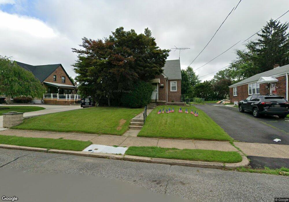
909 Lansing St Unit 11 Philadelphia, PA 19111
Fox Chase NeighborhoodEstimated Value: $318,788 - $368,000
--
Bed
--
Bath
1,248
Sq Ft
$276/Sq Ft
Est. Value
About This Home
This home is located at 909 Lansing St Unit 11, Philadelphia, PA 19111 and is currently estimated at $343,947, approximately $275 per square foot. 909 Lansing St Unit 11 is a home located in Philadelphia County with nearby schools including Fox Chase School, CCA Baldi Middle School, and George Washington High School.
Ownership History
Date
Name
Owned For
Owner Type
Purchase Details
Closed on
Feb 14, 2006
Sold by
Halasa Eva and Halasa Charles J
Bought by
Halasa Dennis J
Current Estimated Value
Home Financials for this Owner
Home Financials are based on the most recent Mortgage that was taken out on this home.
Original Mortgage
$108,000
Interest Rate
6.17%
Mortgage Type
Fannie Mae Freddie Mac
Create a Home Valuation Report for This Property
The Home Valuation Report is an in-depth analysis detailing your home's value as well as a comparison with similar homes in the area
Home Values in the Area
Average Home Value in this Area
Purchase History
| Date | Buyer | Sale Price | Title Company |
|---|---|---|---|
| Halasa Dennis J | $189,520 | First American Title Ins Co |
Source: Public Records
Mortgage History
| Date | Status | Borrower | Loan Amount |
|---|---|---|---|
| Closed | Halasa Dennis J | $108,000 |
Source: Public Records
Tax History Compared to Growth
Tax History
| Year | Tax Paid | Tax Assessment Tax Assessment Total Assessment is a certain percentage of the fair market value that is determined by local assessors to be the total taxable value of land and additions on the property. | Land | Improvement |
|---|---|---|---|---|
| 2025 | $3,765 | $327,100 | $65,420 | $261,680 |
| 2024 | $3,765 | $327,100 | $65,420 | $261,680 |
| 2023 | $3,765 | $269,000 | $53,800 | $215,200 |
| 2022 | $2,468 | $224,000 | $53,800 | $170,200 |
| 2021 | $3,098 | $0 | $0 | $0 |
| 2020 | $3,098 | $0 | $0 | $0 |
| 2019 | $3,000 | $0 | $0 | $0 |
| 2018 | $2,290 | $0 | $0 | $0 |
| 2017 | $2,710 | $0 | $0 | $0 |
| 2016 | $2,290 | $0 | $0 | $0 |
| 2015 | $2,192 | $0 | $0 | $0 |
| 2014 | -- | $193,600 | $95,760 | $97,840 |
| 2012 | -- | $25,600 | $6,396 | $19,204 |
Source: Public Records
Map
Nearby Homes
- 920 Napfle Ave
- 926 Afton St
- 7706 Watson St
- 7712-14 Watson St
- 1017 Lansing St
- 811 Borbeck Ave
- 1012 Borbeck Ave
- 7703 Rockwell Ave
- 806 Griffith St
- 1010 Griffith St
- 7516 Watson St
- 709 Chandler St
- 7520 Palmetto St
- 7426 Rockwell Ave
- 1007 Ripley St
- 7793 Hasbrook Ave
- 825 Rhawn St
- 8010 Ferndale St
- 8019 Ryers Ave
- 7333-35 Rising Sun Ave
- 913 Lansing St
- 901 Lansing St Unit 7
- 917 Lansing St
- 7727 Verree Rd
- 914 Hartel Ave
- 910 Hartel Ave
- 918 Hartel Ave
- 7729 Verree Rd
- 922 Hartel Ave
- 921 Lansing St
- 914 Lansing St
- 7715 Verree Rd
- 7731 Verree Rd
- 923 Lansing St
- 920 Lansing St
- 7711 Verree Rd
- 925 Lansing St Unit 27
- 922 Lansing St
- 926 Hartel Ave
- 925-27 Lansing St