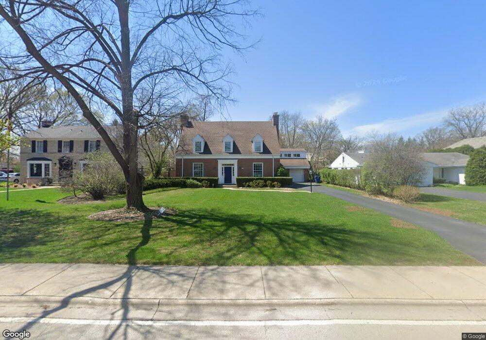
909 Locust Rd Wilmette, IL 60091
Estimated Value: $1,454,265 - $1,742,000
6
Beds
3
Baths
3,226
Sq Ft
$494/Sq Ft
Est. Value
About This Home
This home is located at 909 Locust Rd, Wilmette, IL 60091 and is currently estimated at $1,592,316, approximately $493 per square foot. 909 Locust Rd is a home located in Cook County with nearby schools including Harper Elementary School, Highcrest Middle School, and Wilmette Junior High School.
Ownership History
Date
Name
Owned For
Owner Type
Purchase Details
Closed on
Jul 8, 2005
Sold by
Williams H Randolph and Williams Nancy S
Bought by
Schmeissing David G and Schmeissing Katherine A
Current Estimated Value
Home Financials for this Owner
Home Financials are based on the most recent Mortgage that was taken out on this home.
Original Mortgage
$650,000
Outstanding Balance
$332,929
Interest Rate
5.37%
Mortgage Type
Unknown
Estimated Equity
$1,259,387
Create a Home Valuation Report for This Property
The Home Valuation Report is an in-depth analysis detailing your home's value as well as a comparison with similar homes in the area
Home Values in the Area
Average Home Value in this Area
Purchase History
| Date | Buyer | Sale Price | Title Company |
|---|---|---|---|
| Schmeissing David G | $979,000 | Cti |
Source: Public Records
Mortgage History
| Date | Status | Borrower | Loan Amount |
|---|---|---|---|
| Open | Schmeissing David G | $650,000 |
Source: Public Records
Tax History Compared to Growth
Tax History
| Year | Tax Paid | Tax Assessment Tax Assessment Total Assessment is a certain percentage of the fair market value that is determined by local assessors to be the total taxable value of land and additions on the property. | Land | Improvement |
|---|---|---|---|---|
| 2024 | $21,661 | $94,871 | $32,480 | $62,391 |
| 2023 | $20,480 | $98,774 | $32,480 | $66,294 |
| 2022 | $20,480 | $98,774 | $32,480 | $66,294 |
| 2021 | $16,438 | $66,604 | $28,420 | $38,184 |
| 2020 | $16,228 | $66,604 | $28,420 | $38,184 |
| 2019 | $15,733 | $72,396 | $28,420 | $43,976 |
| 2018 | $18,593 | $81,586 | $23,548 | $58,038 |
| 2017 | $18,554 | $83,581 | $23,548 | $60,033 |
| 2016 | $18,713 | $88,591 | $23,548 | $65,043 |
| 2015 | $18,482 | $77,072 | $19,488 | $57,584 |
| 2014 | $18,716 | $79,181 | $19,488 | $59,693 |
| 2013 | $18,798 | $83,201 | $19,488 | $63,713 |
Source: Public Records
Map
Nearby Homes
- 909 Ottawa Ln
- 915 Ottawa Ln
- 725 Locust Rd
- 1106 Seneca Rd
- 1024 Pontiac Rd Unit 2
- 901 Pontiac Rd
- 2239 Washington Ave
- 408 Beverly Dr
- 320 Woodley Rd
- 414 Skokie Ct
- 828 Lavergne Ave
- 43 Indian Hill Rd
- 2145 Kenilworth Ave
- 801 Harvard St
- 62 Woodley Rd
- 2536 Old Glenview Rd
- 412 Lavergne Ave
- 32 Woodley Rd
- 1936 Birchwood Ave
- 408 Lavergne Ave
- 915 Locust Rd
- 901 Locust Rd
- 2711 Blackhawk Rd
- 910 Osage Ln
- 918 Osage Ln
- 904 Osage Ln
- 2727 Blackhawk Rd
- 918 Locust Rd
- 910 Locust Rd
- 2645 Blackhawk Rd
- 909 Osage Ln
- 2710 Blackhawk Rd
- 2716 Blackhawk Rd
- 2716 Blackhawk Rd
- 905 Osage Ln
- 917 Osage Ln
- 933 Locust Rd
- 2737 Blackhawk Rd
- 2645 Lake Ave
- 946 Locust Rd