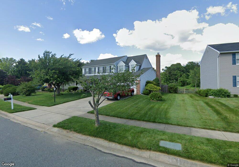
909 N Shamrock Rd Bel Air, MD 21014
Estimated Value: $507,000 - $602,000
--
Bed
3
Baths
2,354
Sq Ft
$234/Sq Ft
Est. Value
About This Home
This home is located at 909 N Shamrock Rd, Bel Air, MD 21014 and is currently estimated at $550,705, approximately $233 per square foot. 909 N Shamrock Rd is a home located in Harford County with nearby schools including Bel Air Elementary School, Southampton Middle School, and C. Milton Wright High School.
Ownership History
Date
Name
Owned For
Owner Type
Purchase Details
Closed on
Oct 27, 2010
Sold by
Dukes Albert V and Dukes Ila G
Bought by
Dougherty Nicole Elizabeth
Current Estimated Value
Purchase Details
Closed on
Oct 29, 1987
Sold by
Stapf Charles Q & Sons Inc
Bought by
Dukes Albert
Purchase Details
Closed on
May 27, 1987
Sold by
Majors Inc
Bought by
Stapf Charles Q & Sons Inc
Home Financials for this Owner
Home Financials are based on the most recent Mortgage that was taken out on this home.
Original Mortgage
$1,000,000
Interest Rate
10.81%
Create a Home Valuation Report for This Property
The Home Valuation Report is an in-depth analysis detailing your home's value as well as a comparison with similar homes in the area
Home Values in the Area
Average Home Value in this Area
Purchase History
| Date | Buyer | Sale Price | Title Company |
|---|---|---|---|
| Dougherty Nicole Elizabeth | -- | None Available | |
| Dukes Albert | $143,900 | -- | |
| Stapf Charles Q & Sons Inc | $26,000 | -- |
Source: Public Records
Mortgage History
| Date | Status | Borrower | Loan Amount |
|---|---|---|---|
| Previous Owner | Stapf Charles Q & Sons Inc | $1,000,000 |
Source: Public Records
Tax History Compared to Growth
Tax History
| Year | Tax Paid | Tax Assessment Tax Assessment Total Assessment is a certain percentage of the fair market value that is determined by local assessors to be the total taxable value of land and additions on the property. | Land | Improvement |
|---|---|---|---|---|
| 2025 | $3,111 | $424,100 | $112,400 | $311,700 |
| 2024 | $3,418 | $402,233 | $0 | $0 |
| 2023 | $3,418 | $380,367 | $0 | $0 |
| 2022 | $3,907 | $358,500 | $112,400 | $246,100 |
| 2021 | $3,576 | $357,033 | $0 | $0 |
| 2020 | $3,576 | $355,567 | $0 | $0 |
| 2019 | $3,561 | $354,100 | $116,200 | $237,900 |
| 2018 | $3,507 | $351,833 | $0 | $0 |
| 2017 | $3,484 | $354,100 | $0 | $0 |
| 2016 | -- | $347,300 | $0 | $0 |
| 2015 | $3,478 | $347,300 | $0 | $0 |
| 2014 | $3,478 | $347,300 | $0 | $0 |
Source: Public Records
Map
Nearby Homes
- 901 Southampton Rd
- 734 Reedy Cir
- 1119 Glastonbury Way
- 315 Harlan St
- 207 Kings Crossing Cir Unit 1C
- 1700 Conowingo Rd
- 216 Wellington Ct
- 479 Moores Mill Rd
- 483 Moores Mill Rd
- 203 Wellington Ct
- 200 Crocker Dr Unit 200-A
- 117 Donzen Dr Unit D
- 224 Crocker Dr Unit 224-F
- 1403 Bassett Ct
- 617 Loring Ave
- 584 Felix Ct
- 918 Chesney Ln
- 938 Chesney Ln
- 502 Lloyd Place Unit F
- 106 N Main St
- 907 N Shamrock Rd
- 911 N Shamrock Rd
- 905 N Shamrock Rd
- 908 N Shamrock Rd
- 912 N Shamrock Rd
- 906 N Shamrock Rd
- 903 N Shamrock Rd
- 816 Hayden Way
- 706 Jessie Ct
- 902 Grayson Square
- 805 Majors Choice Dr
- 901 N Shamrock Rd
- 904 Grayson Square
- 708 Jessie Ct
- 906 Grayson Square
- 901 Grayson Square
- 903 Grayson Square
- 905 Grayson Square
- 814 Hayden Way
- 704 Jessie Ct