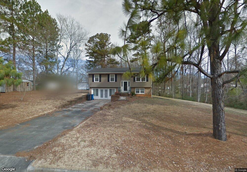
909 Spring Branch Ln China Grove, NC 28023
Estimated Value: $284,702 - $337,000
3
Beds
3
Baths
1,304
Sq Ft
$235/Sq Ft
Est. Value
About This Home
This home is located at 909 Spring Branch Ln, China Grove, NC 28023 and is currently estimated at $306,676, approximately $235 per square foot. 909 Spring Branch Ln is a home located in Rowan County with nearby schools including China Grove Elementary School, China Grove Middle School, and Jesse C Carson High School.
Ownership History
Date
Name
Owned For
Owner Type
Purchase Details
Closed on
Sep 19, 2008
Sold by
Lawter Darren and Lawter Shannon
Bought by
Neubacher Marcus E
Current Estimated Value
Home Financials for this Owner
Home Financials are based on the most recent Mortgage that was taken out on this home.
Original Mortgage
$100,000
Outstanding Balance
$66,418
Interest Rate
6.49%
Mortgage Type
Purchase Money Mortgage
Estimated Equity
$240,258
Create a Home Valuation Report for This Property
The Home Valuation Report is an in-depth analysis detailing your home's value as well as a comparison with similar homes in the area
Home Values in the Area
Average Home Value in this Area
Purchase History
| Date | Buyer | Sale Price | Title Company |
|---|---|---|---|
| Neubacher Marcus E | $125,000 | None Available |
Source: Public Records
Mortgage History
| Date | Status | Borrower | Loan Amount |
|---|---|---|---|
| Open | Neubacher Marcus E | $100,000 |
Source: Public Records
Tax History Compared to Growth
Tax History
| Year | Tax Paid | Tax Assessment Tax Assessment Total Assessment is a certain percentage of the fair market value that is determined by local assessors to be the total taxable value of land and additions on the property. | Land | Improvement |
|---|---|---|---|---|
| 2025 | $2,133 | $197,463 | $45,000 | $152,463 |
| 2024 | $2,133 | $197,463 | $45,000 | $152,463 |
| 2023 | $2,133 | $197,463 | $45,000 | $152,463 |
| 2022 | $1,484 | $121,890 | $33,750 | $88,140 |
| 2021 | $1,460 | $121,890 | $33,750 | $88,140 |
| 2020 | $1,460 | $121,890 | $33,750 | $88,140 |
| 2019 | $1,460 | $121,890 | $33,750 | $88,140 |
| 2018 | $1,397 | $114,160 | $33,750 | $80,410 |
| 2017 | $1,397 | $114,160 | $33,750 | $80,410 |
| 2016 | $1,397 | $114,160 | $33,750 | $80,410 |
| 2015 | $1,418 | $114,160 | $33,750 | $80,410 |
| 2014 | $1,562 | $129,092 | $45,000 | $84,092 |
Source: Public Records
Map
Nearby Homes
- 798 Wilson St
- 523 Hickory Nut Ln
- 515 W Stokes St
- 1400 N Carolina 152
- 0 Shue Rd
- 535 Black Bear St
- 535 Black Bear St Unit 163
- 109 Old Rockwell Rd
- 501 N Main St
- 702 N Highland Ridge Dr
- TA3000 Plan at Kensington
- Hudson Plan at Kensington
- Devin Plan at Kensington
- Bayside Plan at Kensington
- TA4000 Plan at Kensington
- Kipling Plan at Kensington
- Declan Plan at Kensington
- Montcrest Plan at Kensington
- Jasper Plan at Kensington
- Gideon Plan at Kensington
- 906 Mitchell Ave
- 902 Mitchell Ave
- 908 Mitchell Ave
- 912 Spring Branch Ln
- 908 Spring Branch Ln
- 830 Mitchell Ave
- 912 Mitchell Ave
- 916 Spring Branch Ln
- 826 Mitchell Ave
- 403 W Hillside Dr
- 399 W Hillside Dr
- 916 Mitchell Ave
- 411 W Hillside Dr
- 831 Mitchell Ave
- 384 Oakwood Ct
- 905 Mitchell Ave
- 905 Mitchell Ave Unit 24
- 386 Oakwood Ct
- 822 Mitchell Ave
- 415 W Hillside Dr