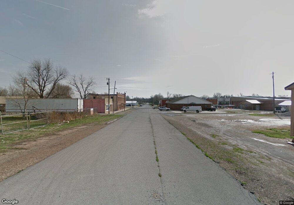
909 W Main St Westville, OK 74965
Estimated Value: $69,184 - $164,000
3
Beds
1
Bath
1,352
Sq Ft
$91/Sq Ft
Est. Value
About This Home
This home is located at 909 W Main St, Westville, OK 74965 and is currently estimated at $122,546, approximately $90 per square foot. 909 W Main St is a home with nearby schools including Westville Elementary School, Westville Junior High School, and Westville High School.
Ownership History
Date
Name
Owned For
Owner Type
Purchase Details
Closed on
Nov 21, 2024
Sold by
Pendergraft William and Grunden Peggy
Bought by
Vonnull Christopher
Current Estimated Value
Purchase Details
Closed on
Jun 12, 2020
Sold by
County Of Adair
Bought by
Null Christopher and Mitchell Stephnie
Purchase Details
Closed on
Dec 14, 2015
Sold by
Moss Darrel Gene
Bought by
Loving Jason Walter
Purchase Details
Closed on
Mar 19, 2012
Sold by
Moss David Alan
Bought by
Moss Darrel Gene
Purchase Details
Closed on
Aug 16, 1999
Sold by
Self Betty and Self Waymond
Bought by
Moss Ella Virginia
Purchase Details
Closed on
Nov 14, 1990
Sold by
Wood Lillian B
Bought by
Self Betty D and Self Self
Create a Home Valuation Report for This Property
The Home Valuation Report is an in-depth analysis detailing your home's value as well as a comparison with similar homes in the area
Home Values in the Area
Average Home Value in this Area
Purchase History
| Date | Buyer | Sale Price | Title Company |
|---|---|---|---|
| Vonnull Christopher | $5,000 | None Listed On Document | |
| Vonnull Christopher | $5,000 | None Listed On Document | |
| Null Christopher | $3,500 | None Available | |
| Loving Jason Walter | $1,000 | None Available | |
| Moss Darrel Gene | -- | None Available | |
| Moss Ella Virginia | $25,000 | -- | |
| Self Betty D | -- | -- |
Source: Public Records
Tax History Compared to Growth
Tax History
| Year | Tax Paid | Tax Assessment Tax Assessment Total Assessment is a certain percentage of the fair market value that is determined by local assessors to be the total taxable value of land and additions on the property. | Land | Improvement |
|---|---|---|---|---|
| 2025 | $347 | $4,243 | $840 | $3,403 |
| 2024 | $347 | $4,437 | $300 | $4,137 |
| 2023 | $347 | $4,226 | $300 | $3,926 |
| 2022 | $314 | $4,025 | $300 | $3,725 |
| 2021 | $336 | $4,285 | $300 | $3,985 |
| 2020 | $337 | $4,285 | $300 | $3,985 |
| 2019 | $346 | $4,388 | $300 | $4,088 |
| 2018 | $332 | $4,388 | $300 | $4,088 |
| 2017 | $324 | $4,227 | $300 | $3,927 |
| 2016 | $311 | $4,026 | $300 | $3,726 |
| 2015 | $270 | $3,834 | $300 | $3,534 |
| 2014 | $257 | $3,651 | $300 | $3,351 |
Source: Public Records
Map
Nearby Homes