9093 E Ensign Ct Hesperia, MI 49421
Estimated Value: $216,791 - $337,000
Studio
--
Bath
--
Sq Ft
38,768
Sq Ft
About This Home
This home is located at 9093 E Ensign Ct, Hesperia, MI 49421 and is currently estimated at $270,198. 9093 E Ensign Ct is a home with nearby schools including Patricia St. Clair Elementary School, Hesperia Middle School, and Hesperia High School.
Ownership History
Date
Name
Owned For
Owner Type
Purchase Details
Closed on
Nov 26, 2013
Sold by
Schoenborn Richard P and Schoenborn Lois A
Bought by
Schoenborn Richard P and Schoenborn Lois A
Current Estimated Value
Purchase Details
Closed on
Oct 15, 2010
Sold by
Nagelkirk James E and Nagelkirk Sandra Kay Borgeld
Bought by
Schoenborn Richard P and Schoenborn Lois A
Home Financials for this Owner
Home Financials are based on the most recent Mortgage that was taken out on this home.
Original Mortgage
$80,000
Outstanding Balance
$52,657
Interest Rate
4.3%
Mortgage Type
New Conventional
Estimated Equity
$217,541
Create a Home Valuation Report for This Property
The Home Valuation Report is an in-depth analysis detailing your home's value as well as a comparison with similar homes in the area
Purchase History
| Date | Buyer | Sale Price | Title Company |
|---|---|---|---|
| Schoenborn Richard P | -- | None Available | |
| Schoenborn Richard P | -- | None Available |
Source: Public Records
Mortgage History
| Date | Status | Borrower | Loan Amount |
|---|---|---|---|
| Open | Schoenborn Richard P | $80,000 |
Source: Public Records
Tax History
| Year | Tax Paid | Tax Assessment Tax Assessment Total Assessment is a certain percentage of the fair market value that is determined by local assessors to be the total taxable value of land and additions on the property. | Land | Improvement |
|---|---|---|---|---|
| 2025 | $3,291 | $95,200 | $95,200 | $0 |
| 2024 | $760 | $78,600 | $78,600 | $0 |
| 2023 | $2,988 | $71,200 | $71,200 | $0 |
| 2022 | $2,988 | $75,800 | $0 | $0 |
| 2021 | $2,906 | $71,200 | $71,200 | $0 |
| 2020 | $2,929 | $68,600 | $68,600 | $0 |
| 2019 | $2,908 | $67,500 | $0 | $0 |
| 2018 | $2,755 | $63,400 | $0 | $0 |
| 2017 | $2,779 | $63,400 | $0 | $0 |
| 2016 | -- | $46,300 | $0 | $0 |
| 2013 | -- | $47,600 | $0 | $0 |
Source: Public Records
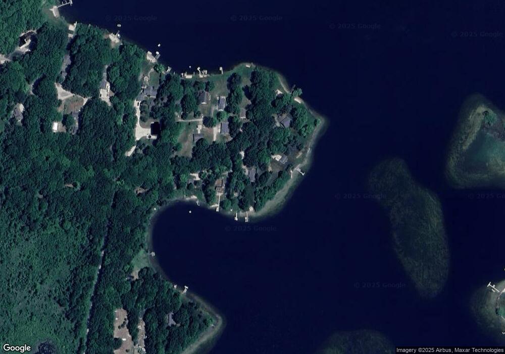
Map
Nearby Homes
- 9586 E Lure Rd
- 1837 S 200th Ave
- 1945 S 200th Ave
- VL State St
- 1908 S 186th Ave
- 6766 E Gale Rd
- 5525 N Comstock Ave
- 6346 E Peavey St
- 226 N 176th Ave
- VL S 204th Ave
- 8356 E Loop Rd
- 3733 S Brenlor Dr
- 1315 Fitzgerald Ave
- 3944 S Brenlor Dr
- 8,9,10,&11 S Riverview Dr
- Lots 10&11 S Riverview Dr
- Lots 8 & 9 S Riverview Dr
- 8422 E M 20
- 8933 E M 20
- 18.9 Acres S 176th Ave
- 9077 E Ensign Ct
- 9071 E Ensign Ct
- 9061 E Ensign Ct
- 9039 E Ensign Ct
- 9086 E Harmony Hill Dr
- 9054 E Harmony Hill Dr
- 9043 E Harmony Hill Dr
- 9127 E Ensign Ct
- 9121 E Ensign Cir
- 9023 E Ensign Ct
- 0 Harmony Hill Dr
- 9034 Harmony Hill Dr
- 688 E Hoppe Rd
- 9024 E Harmony Hill Dr
- 9000 E Harmony Hill Dr
- 9000 E Harmony Hill Dr
- 0 Hoppe Rd
- 748 S Hoppe Rd
- 560 E Hoppe Rd
- 560 E Hoppe Rd
Your Personal Tour Guide
Ask me questions while you tour the home.