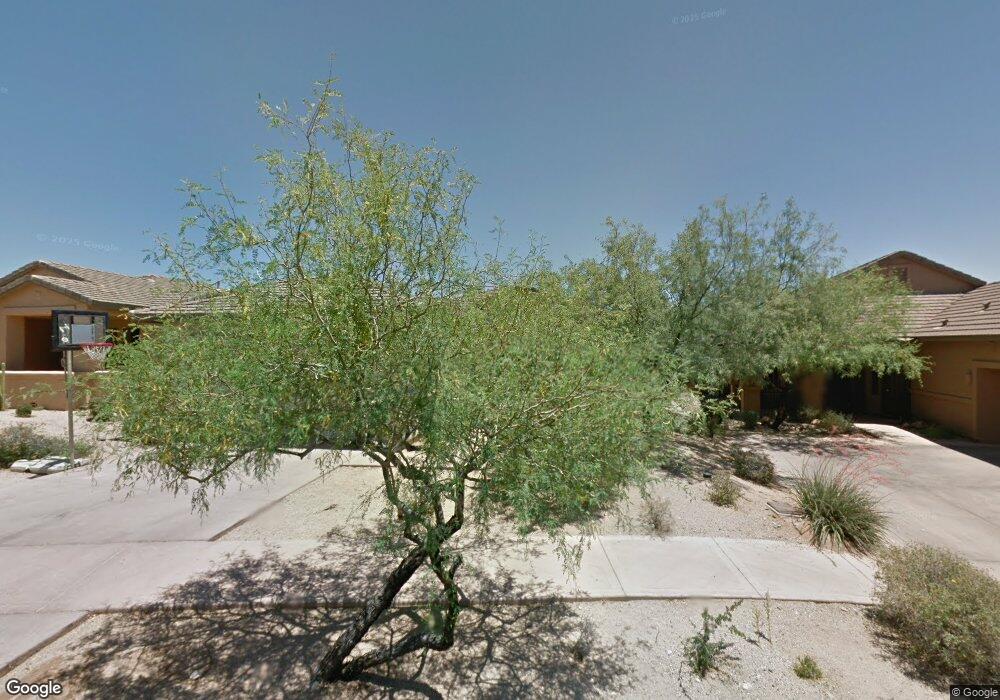
9097 E Mohawk Ln Unit 36 Scottsdale, AZ 85255
DC Ranch NeighborhoodEstimated Value: $1,295,000 - $1,407,000
2
Beds
2
Baths
2,137
Sq Ft
$625/Sq Ft
Est. Value
About This Home
This home is located at 9097 E Mohawk Ln Unit 36, Scottsdale, AZ 85255 and is currently estimated at $1,335,429, approximately $624 per square foot. 9097 E Mohawk Ln Unit 36 is a home located in Maricopa County with nearby schools including Copper Ridge School, Chaparral High School, and Scottsdale Preparatory Academy.
Ownership History
Date
Name
Owned For
Owner Type
Purchase Details
Closed on
May 4, 2018
Sold by
Friedline Tami
Bought by
Gk Real Estate Llc
Current Estimated Value
Purchase Details
Closed on
Dec 30, 2013
Sold by
Dunphy Patrick and Dunphy Virginia M
Bought by
Friedline Tami
Purchase Details
Closed on
Apr 18, 2005
Sold by
Perry Nancy
Bought by
Dunphy Patrick and Dunphy Virginia M
Purchase Details
Closed on
Apr 3, 1998
Sold by
First American Title Insurance Company
Bought by
Perry Nancy E
Home Financials for this Owner
Home Financials are based on the most recent Mortgage that was taken out on this home.
Original Mortgage
$230,400
Interest Rate
7.07%
Purchase Details
Closed on
Sep 24, 1997
Sold by
Udc Homes Inc
Bought by
First American Title Insurance Company and Trust #8286
Create a Home Valuation Report for This Property
The Home Valuation Report is an in-depth analysis detailing your home's value as well as a comparison with similar homes in the area
Home Values in the Area
Average Home Value in this Area
Purchase History
| Date | Buyer | Sale Price | Title Company |
|---|---|---|---|
| Gk Real Estate Llc | $710,000 | First American Title Insuran | |
| Friedline Tami | $550,000 | Us Title Agency Inc | |
| Dunphy Patrick | $630,000 | Capital Title Agency Inc | |
| Perry Nancy E | $261,620 | First American Title | |
| First American Title Insurance Company | -- | First American Title |
Source: Public Records
Mortgage History
| Date | Status | Borrower | Loan Amount |
|---|---|---|---|
| Previous Owner | Perry Nancy E | $230,400 |
Source: Public Records
Tax History Compared to Growth
Tax History
| Year | Tax Paid | Tax Assessment Tax Assessment Total Assessment is a certain percentage of the fair market value that is determined by local assessors to be the total taxable value of land and additions on the property. | Land | Improvement |
|---|---|---|---|---|
| 2025 | $3,738 | $66,647 | -- | -- |
| 2024 | $4,657 | $63,474 | -- | -- |
| 2023 | $4,657 | $74,820 | $14,960 | $59,860 |
| 2022 | $4,422 | $60,150 | $12,030 | $48,120 |
| 2021 | $4,694 | $59,850 | $11,970 | $47,880 |
| 2020 | $4,654 | $52,220 | $10,440 | $41,780 |
| 2019 | $4,611 | $51,600 | $10,320 | $41,280 |
| 2018 | $4,474 | $50,850 | $10,170 | $40,680 |
| 2017 | $3,697 | $50,620 | $10,120 | $40,500 |
| 2016 | $3,604 | $49,360 | $9,870 | $39,490 |
| 2015 | $3,518 | $46,570 | $9,310 | $37,260 |
Source: Public Records
Map
Nearby Homes
- 9155 E Hoverland Rd
- 20801 N 90th Place Unit 229
- 20801 N 90th Place Unit 272
- 20801 N 90th Place Unit 169
- 20801 N 90th Place Unit 242
- 8934 E Rusty Spur Place
- 20704 N 90th Place Unit 1065
- 8845 E Sierra Pinta Dr
- 9002 E Havasupai Dr
- 8821 E Havasupai Dr
- 20750 N 87th St Unit 2042
- 20750 N 87th St Unit 1005
- 20750 N 87th St Unit 2062
- 20750 N 87th St Unit 2103
- 9565 E Mountain Spring Rd
- 19947 N 94th Way
- 9270 E Thompson Peak Pkwy Unit 327
- 9270 E Thompson Peak Pkwy Unit 342
- 9270 E Thompson Peak Pkwy Unit 367
- 20472 N 95th Place
- 9097 E Mohawk Ln
- 9105 E Mohawk Ln
- 9089 E Mohawk Ln
- 9113 E Mohawk Ln Unit 34
- 9113 E Mohawk Ln
- 9081 E Mohawk Ln
- 9145 E Mohawk Ln
- 9090 E Mohawk Ln
- 9098 E Mohawk Ln
- 9106 E Mohawk Ln
- 9082 E Mohawk Ln
- 9114 E Mohawk Ln
- 9162 E Rusty Spur Place
- 9122 E Mohawk Ln
- 9154 E Rusty Spur Place
- 9146 E Rusty Spur Place
- 9130 E Mohawk Ln
- 9138 E Rusty Spur Place
- 9138 E Mohawk Ln
- 9120 E Mountain Spring Rd