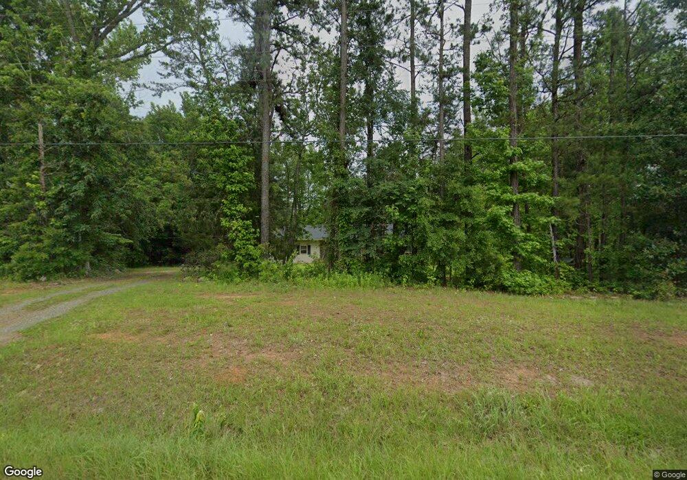
9097 Ga Highway 74 Macon, GA 31220
Estimated Value: $122,000 - $265,000
--
Bed
1
Bath
1,747
Sq Ft
$111/Sq Ft
Est. Value
About This Home
This home is located at 9097 Ga Highway 74, Macon, GA 31220 and is currently estimated at $194,128, approximately $111 per square foot. 9097 Ga Highway 74 is a home located in Monroe County with nearby schools including Samuel E. Hubbard Elementary School and Mary Persons High School.
Ownership History
Date
Name
Owned For
Owner Type
Purchase Details
Closed on
Sep 29, 2017
Sold by
Holland Tracy Lynn
Bought by
Holland Carol Ann
Current Estimated Value
Home Financials for this Owner
Home Financials are based on the most recent Mortgage that was taken out on this home.
Original Mortgage
$98,484
Outstanding Balance
$82,262
Interest Rate
3.82%
Mortgage Type
New Conventional
Estimated Equity
$111,866
Purchase Details
Closed on
Apr 20, 2017
Sold by
Floyd Helen M
Bought by
Holland Carol A
Purchase Details
Closed on
Dec 29, 2004
Bought by
Holland Raymond E and Carol Ann
Home Financials for this Owner
Home Financials are based on the most recent Mortgage that was taken out on this home.
Original Mortgage
$63,000
Interest Rate
5.61%
Mortgage Type
New Conventional
Create a Home Valuation Report for This Property
The Home Valuation Report is an in-depth analysis detailing your home's value as well as a comparison with similar homes in the area
Home Values in the Area
Average Home Value in this Area
Purchase History
| Date | Buyer | Sale Price | Title Company |
|---|---|---|---|
| Holland Carol Ann | -- | -- | |
| Myers Russell D | $97,500 | -- | |
| Holland Carol A | $1,000 | -- | |
| Holland Raymond E | -- | -- | |
| Holland Carol Ann | -- | -- |
Source: Public Records
Mortgage History
| Date | Status | Borrower | Loan Amount |
|---|---|---|---|
| Open | Myers Russell D | $98,484 | |
| Closed | Holland Carol Ann | $98,484 | |
| Previous Owner | Holland Raymond E | $63,000 |
Source: Public Records
Tax History Compared to Growth
Tax History
| Year | Tax Paid | Tax Assessment Tax Assessment Total Assessment is a certain percentage of the fair market value that is determined by local assessors to be the total taxable value of land and additions on the property. | Land | Improvement |
|---|---|---|---|---|
| 2024 | $1,256 | $44,600 | $5,440 | $39,160 |
| 2023 | $1,205 | $38,080 | $5,440 | $32,640 |
| 2022 | $1,031 | $38,080 | $5,440 | $32,640 |
| 2021 | $1,067 | $38,080 | $5,440 | $32,640 |
| 2020 | $1,094 | $38,080 | $5,440 | $32,640 |
| 2019 | $1,103 | $38,080 | $5,440 | $32,640 |
| 2018 | $1,106 | $38,080 | $5,440 | $32,640 |
| 2017 | $1,107 | $38,080 | $5,440 | $32,640 |
| 2016 | $721 | $38,080 | $5,440 | $32,640 |
| 2015 | $684 | $38,080 | $5,440 | $32,640 |
| 2014 | $660 | $38,080 | $5,440 | $32,640 |
Source: Public Records
Map
Nearby Homes
- 137 Shady Dale Dr
- 2198 Dennis Rd
- 8294 Shelley Trail
- 104 Peninsula Ave
- 104 Peninsula Ave Unit LOT 49
- 402 Harbor Cove Dr
- 402 Harbor Cove Dr Unit 32
- 112 Peninsula Ave
- 519 Bluewater Bay Dr
- 140 Peninsula Ave
- 511 Bluewater Bay Dr
- 156 Peninsula Ave
- Plan 3040 at Barrington Place
- Plan 2700 at Barrington Place
- Plan 2620 at Barrington Place
- Plan 2100 at Barrington Place
- Plan 2316 at Barrington Place
- 1302 Barrington Place Cove
- 1405 Barrington Place Ln
- 1409 Barrington Place Way
- 9097 Ga Highway 74
- 9097 Georgia 74
- 9147 Thomaston Rd Hwy
- 9070 Ga Highway 74
- 9070 Ga Highway 74
- 37 Debra Dr
- 9126 Ga Highway 74
- 9152 Ga Highway 74
- 9147 Ga Highway 74
- 9007 Ga Highway 74
- 9176 Ga Highway 74
- 98 Debra Dr
- 9191 Ga Highway 74
- 313 Corey Ct
- 124 Debra Dr
- 9194 Ga Highway 74
- 9213 Ga Highway 74
- 8950 Thomaston Rd
- 309 Corey Ct
- 309 Corey Ct Unit 5